Pacific Crest Trail!
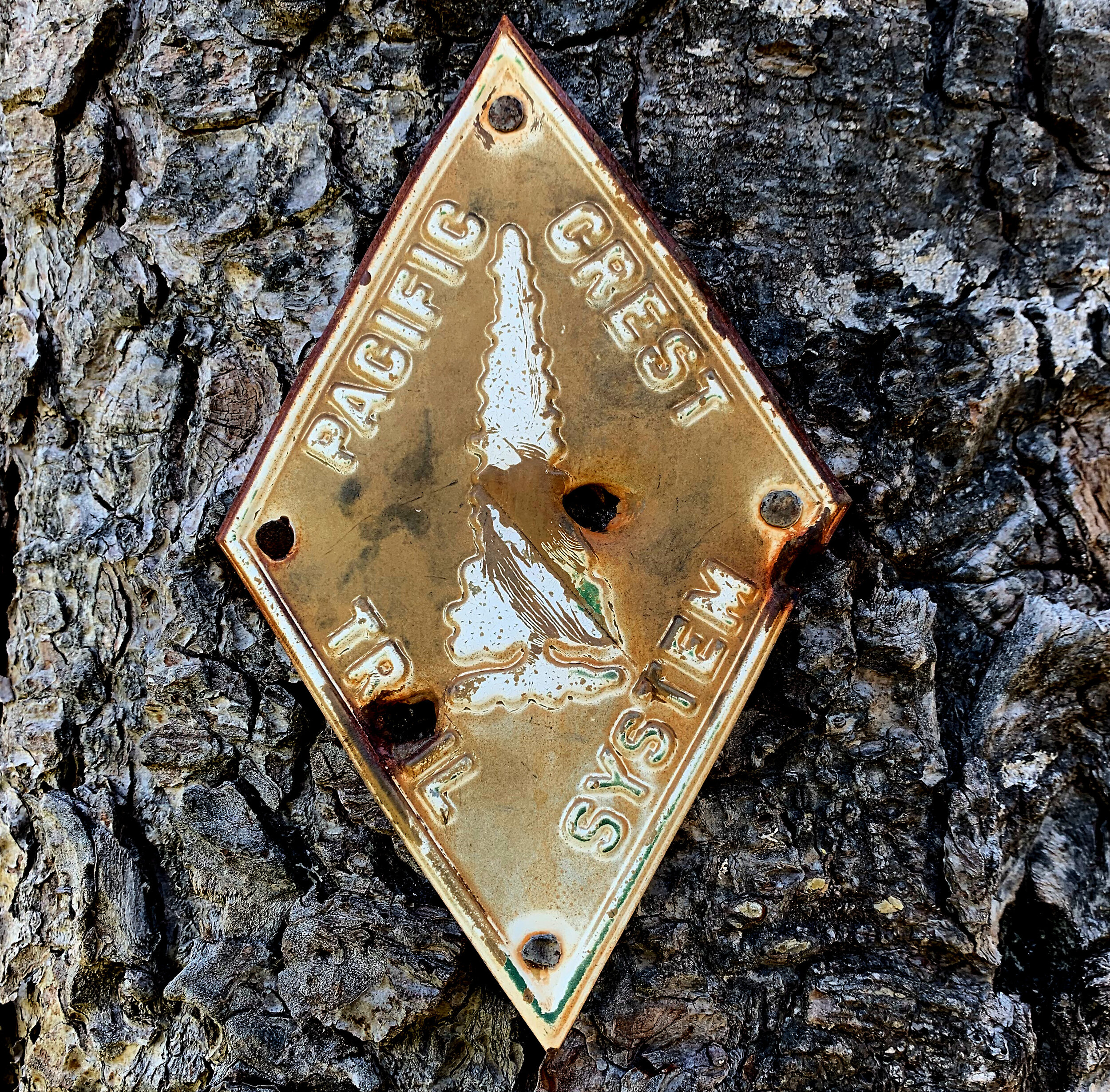
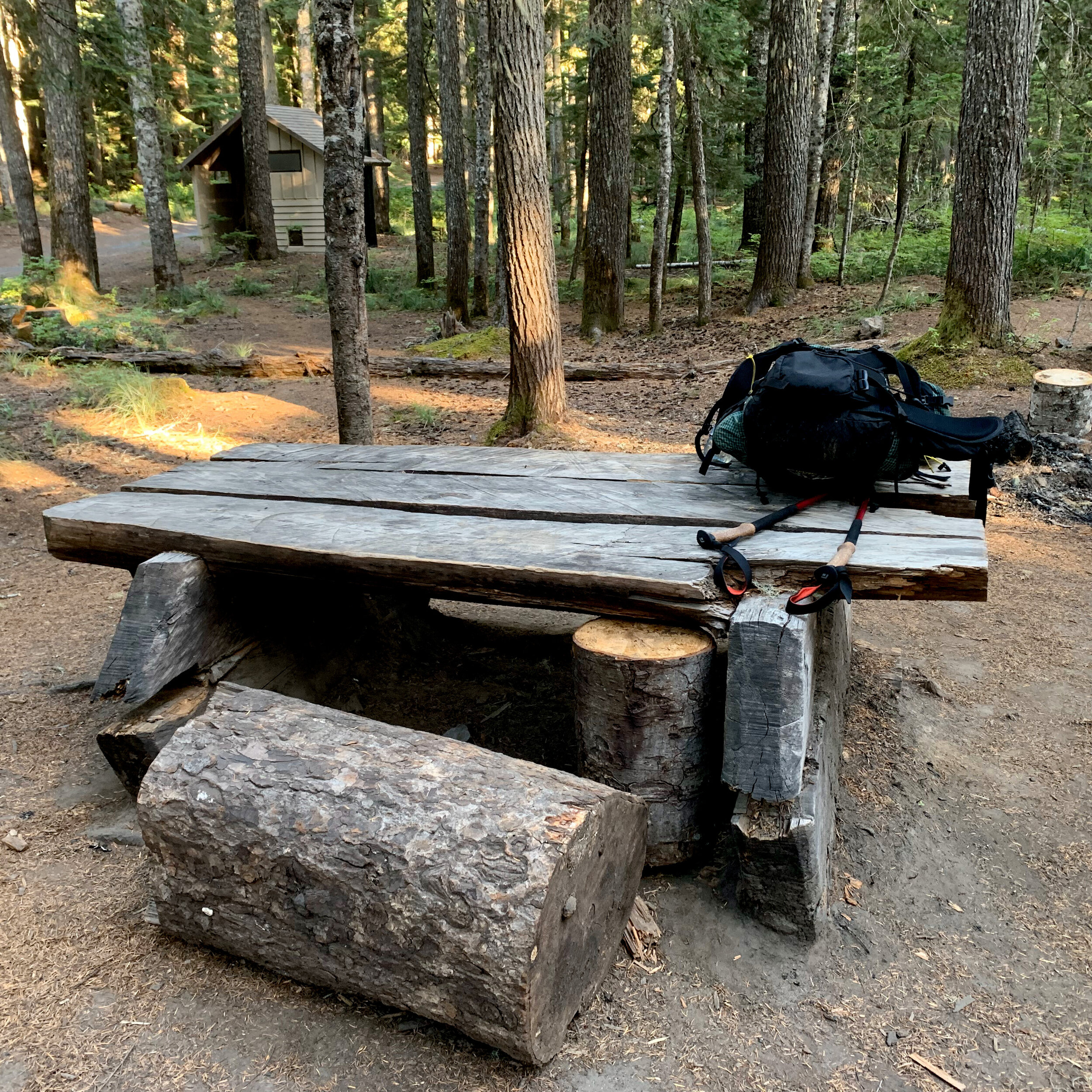
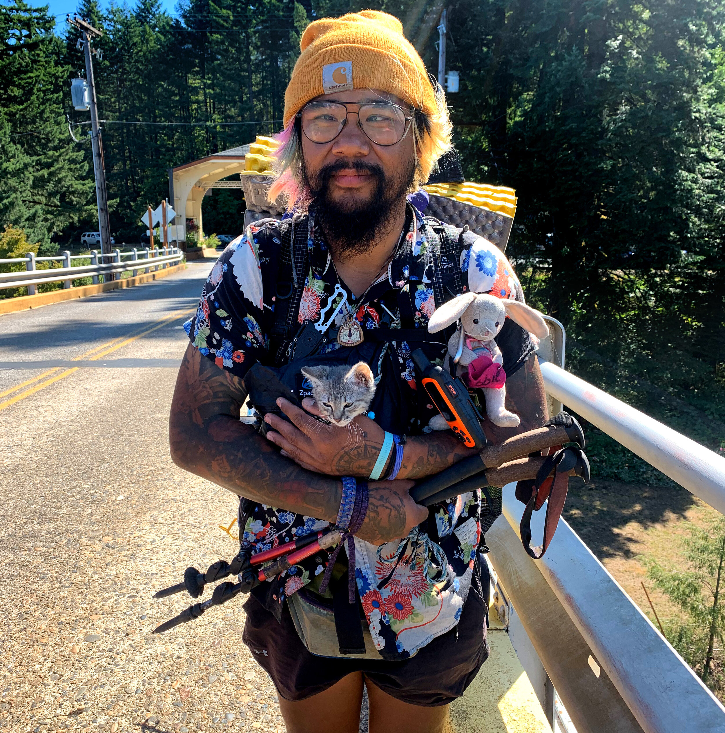
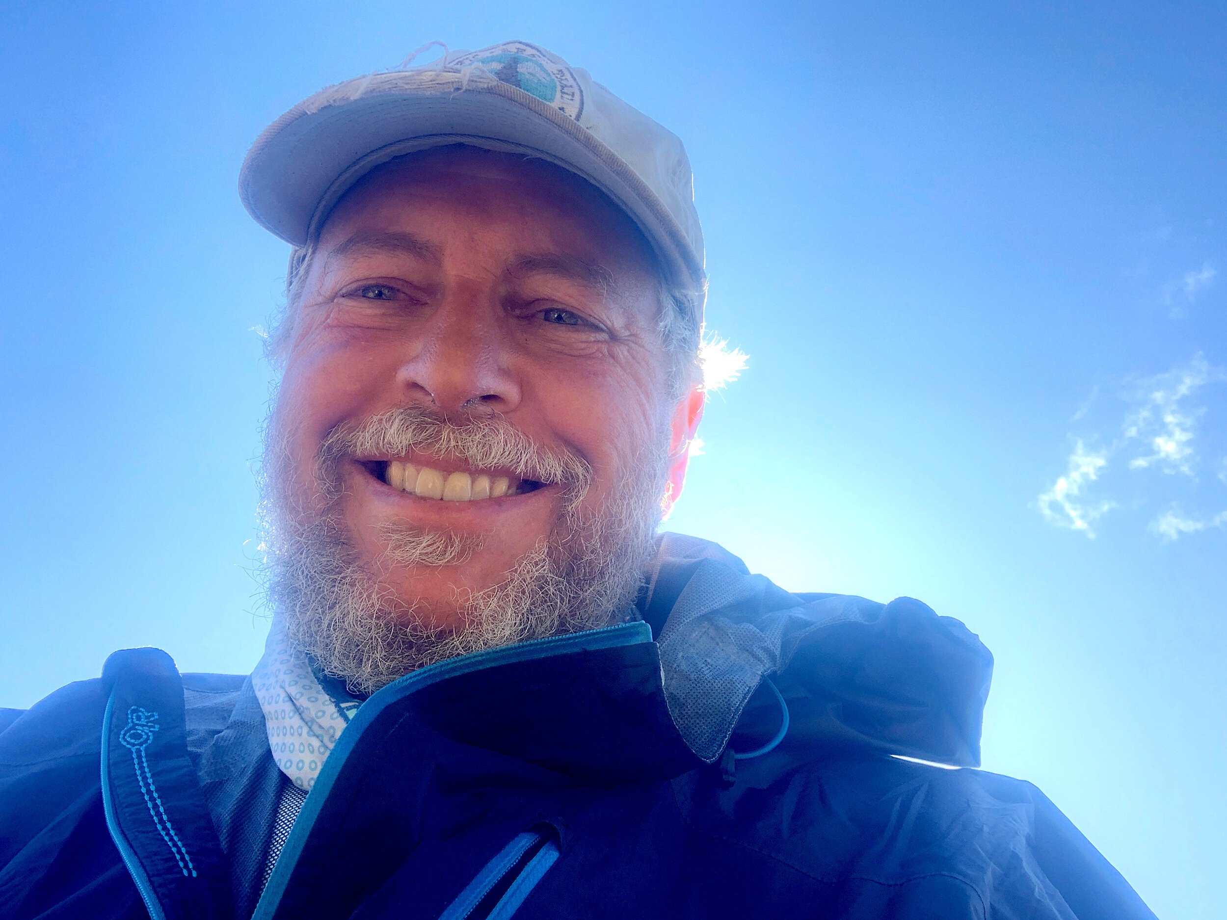
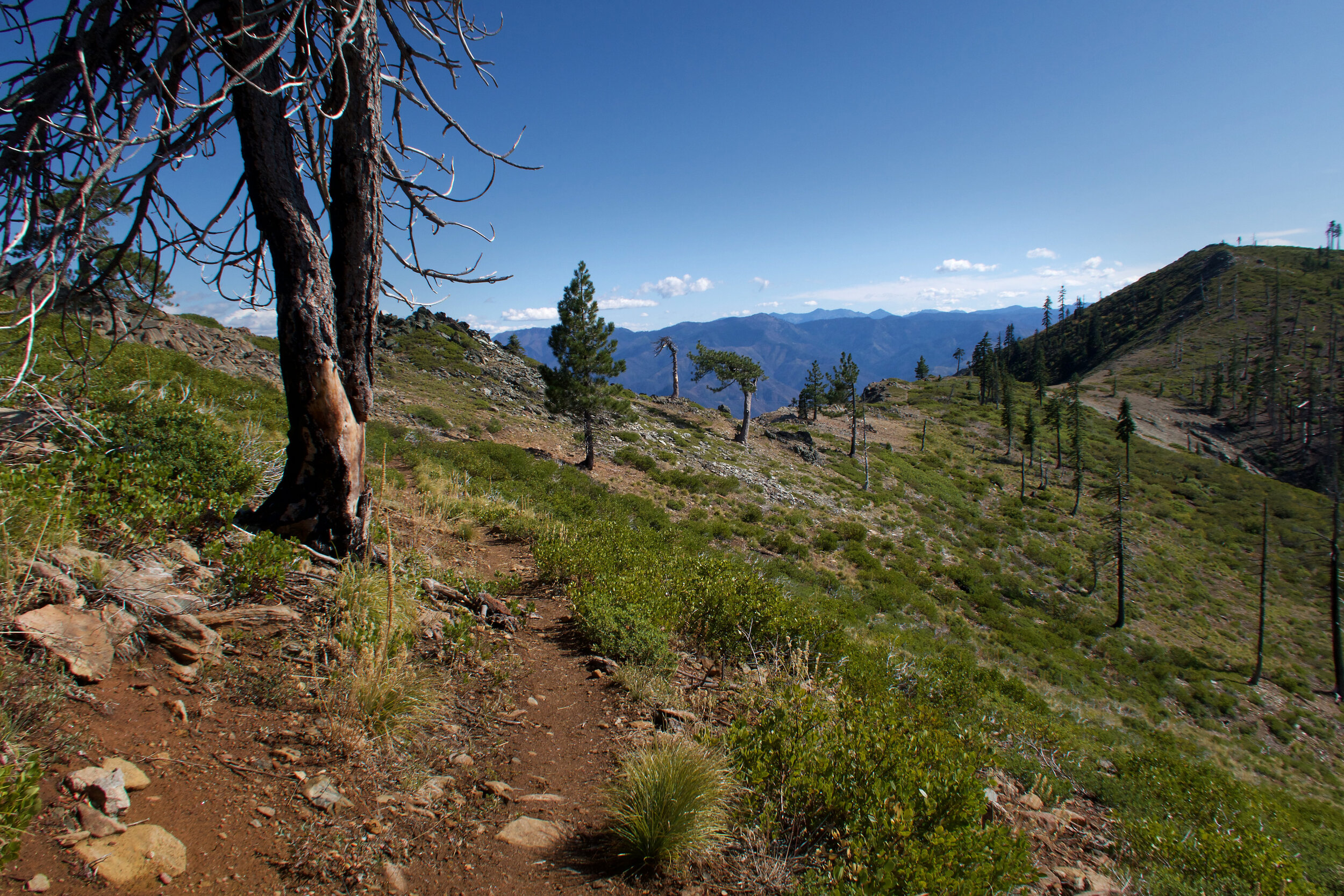
Welcome to my hiking images! Backpacking has been a favorite activity in my life. Recently, I completed the 2,650 mile Pacific Crest Trail. I sectioned hiked the trail for 19 years, with a final, 2019, LASH (long-ass section hike) of 1500 miles, from the Canadian Border to Sierra City, California. The galleries of this portfolio will highlight all those wonderful experiences. Each gallery represents a section of the trail. Over time, I’ll tell the stories behind the photographs in my blog. I’ll eventually add additional galleries from those previous 19 years, so visit again.
July 4 - July 11, 2019/ 111 Miles
Hart’s Pass to Stehekin, Washington
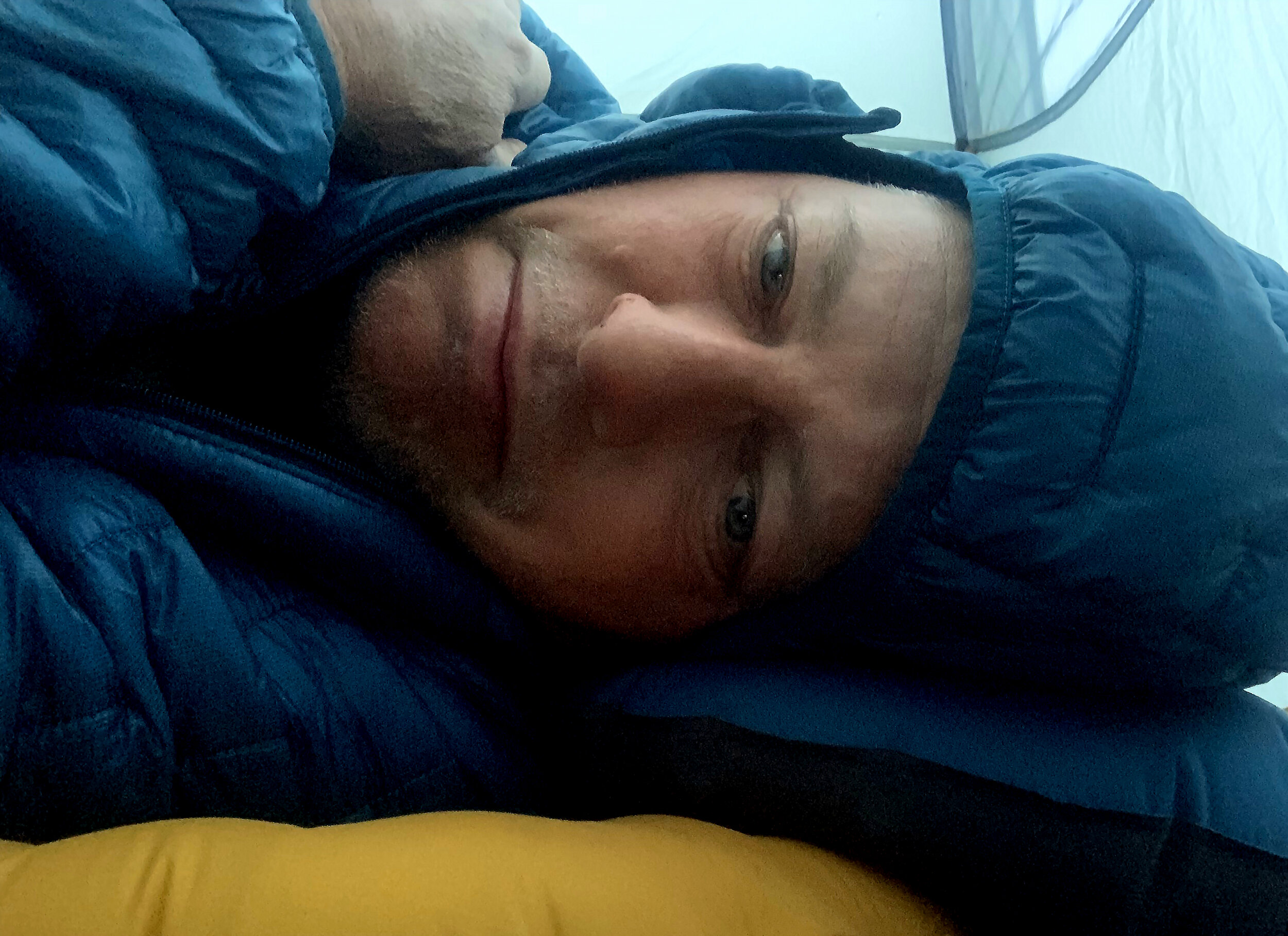
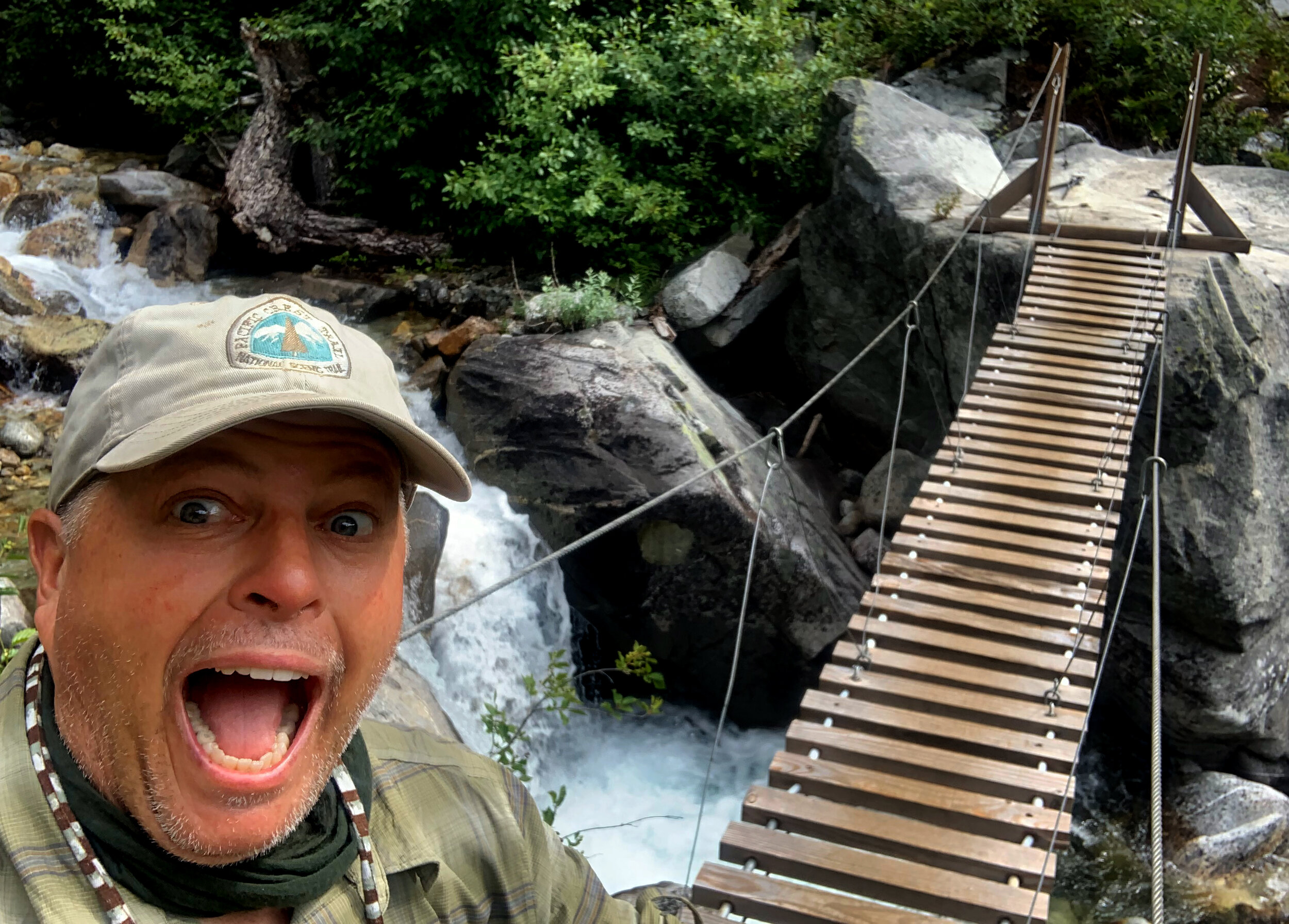
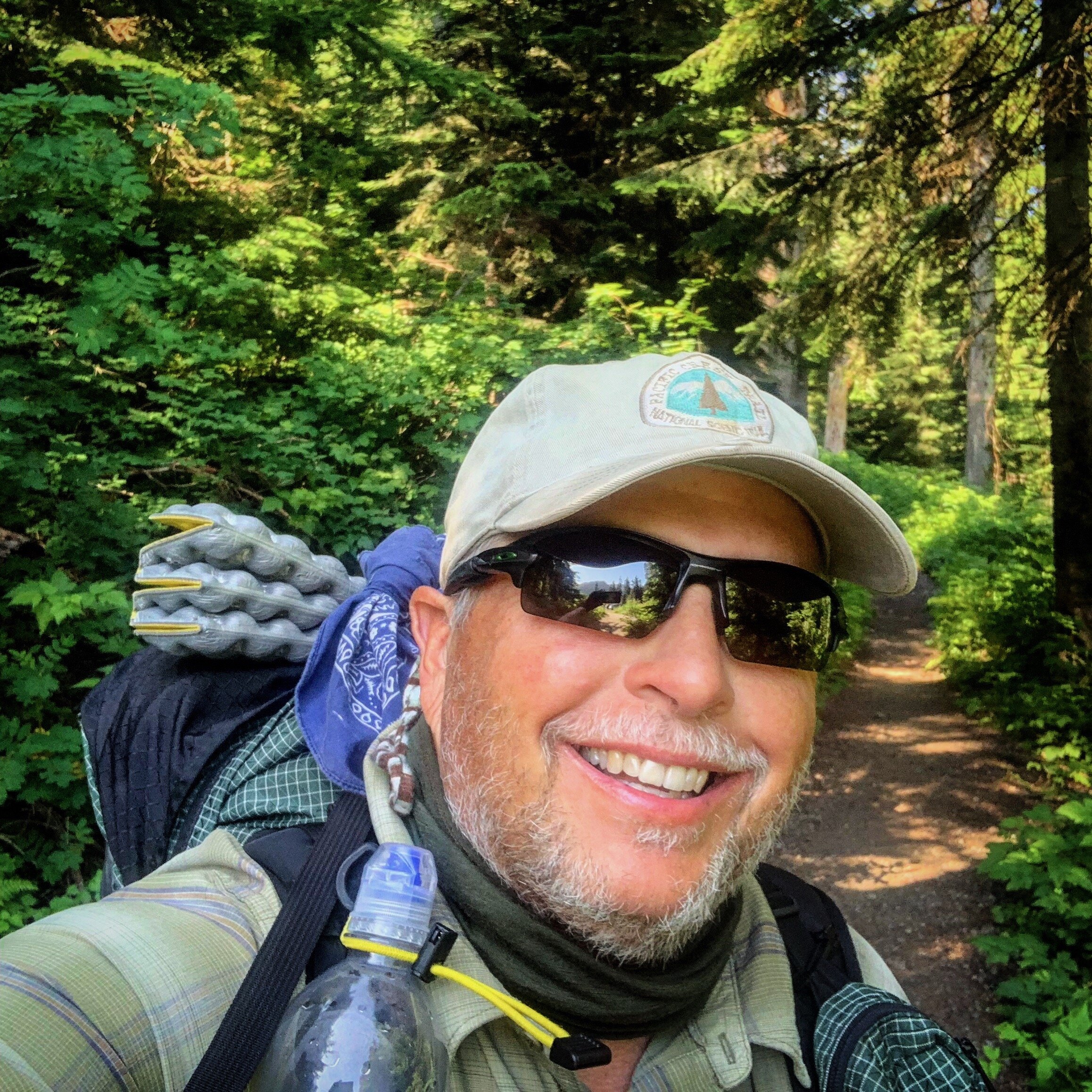
On Independence Day, 2019, I started my southbound (SOBO), 3 1/2-month, 1500-mile trek on the Pacific Crest Trail. My sister, Ellen, drove me and two other hikers, from Seattle, over the treacherous dirt road leading to the northern most road crossing of the trail, at Hart’s Pass, Washington. To reach the terminus of the trail, on the Canada Border, you must first hike northbound for 30 miles. When I reached the terminus, a happy celebration for me, I turned around and started my continuous hike through Washington, Oregon and Northern California. The first week was exciting and challenging, with freezing rain, untested gear, hiking solo, in some of the most beautiful country I’ve ever experienced. Even though I had to retrace those first 30 miles, the landscape was ever new and changing. I carried a small Canon GX7 Mark II camera and my iPhone to capture the visual feast with still photos and video. It took a few weeks to clear my mind of city life and normal thinking patterns. My body, adjusting to carrying my 25-30 pound pack, lost at least ten pounds. I made short lived connections with the several hikers on trail, also hiking SOBO. We all looked forward to arriving in Stehekin, Washington, for our first town stop where a shower, fresh food, a resupply package at the post office, and contact with the civilized world awaited. Stehekin was a paradise of no traffic, low-key community, cinnamon rolls and rest.








July 12-20/ 105 Miles
Stehekin to Steven’s Pass
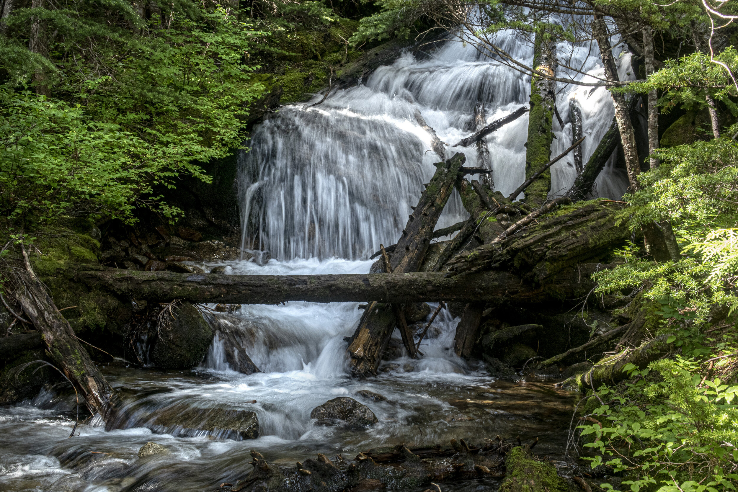
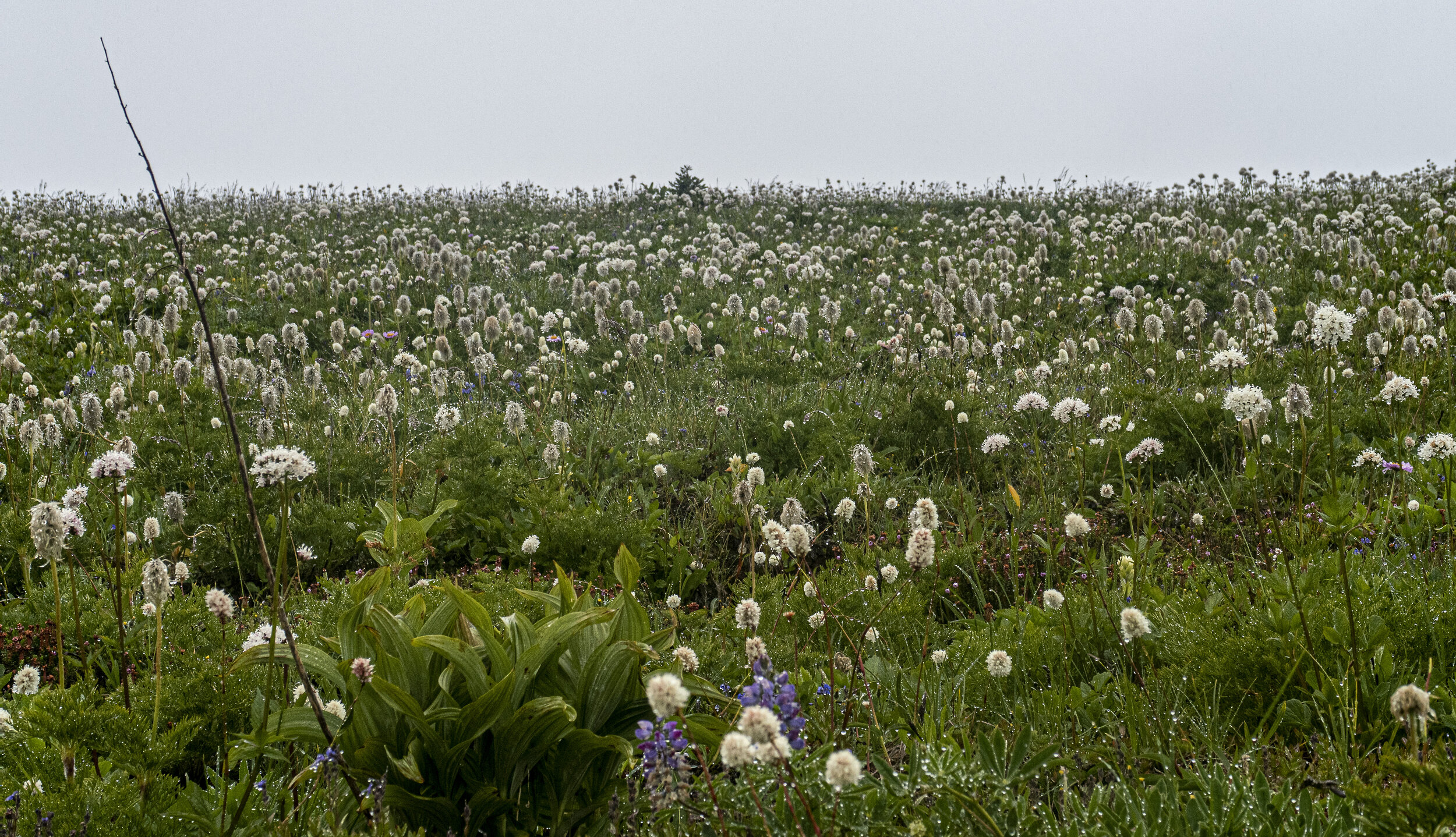
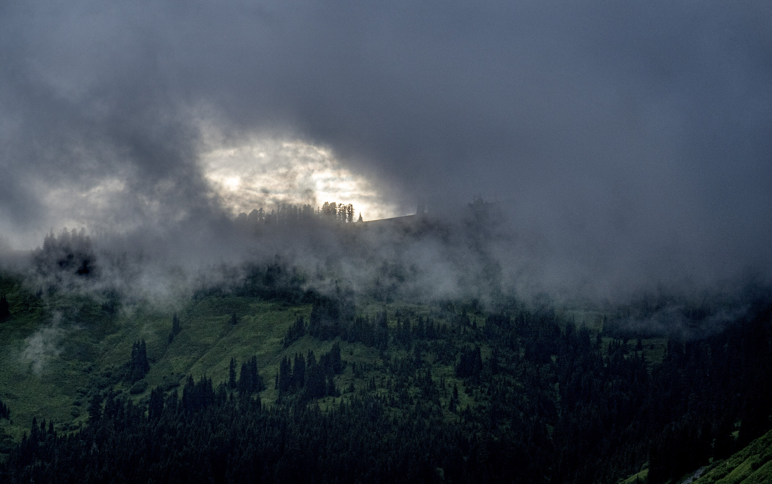
This section, through Glacier Peak Wilderness, Washington, was reportedly the second hardest section of the Pacific Crest Trail (outside of the John Muir Trail miles), and it lived up to its reputation. Although stunningly gorgeous, the trail rose and fell at steep elevations. Freezing rains kept me on the move to stay warm. I planned a robust 7-day, 15 miles a day pace, and supplied myself accordingly. By my third day, struggling up and down the sharp ridges, I had pulled a leg muscle and was hobbling. I cut that day short , rested, with a large dose of ibuprofen, and made camp early. The following days I pushed on through rainstorms and temperatures in the low 30’s. I fell down a few times crossing over Red and White Passes, quitting early to shelter from a pounding storm.
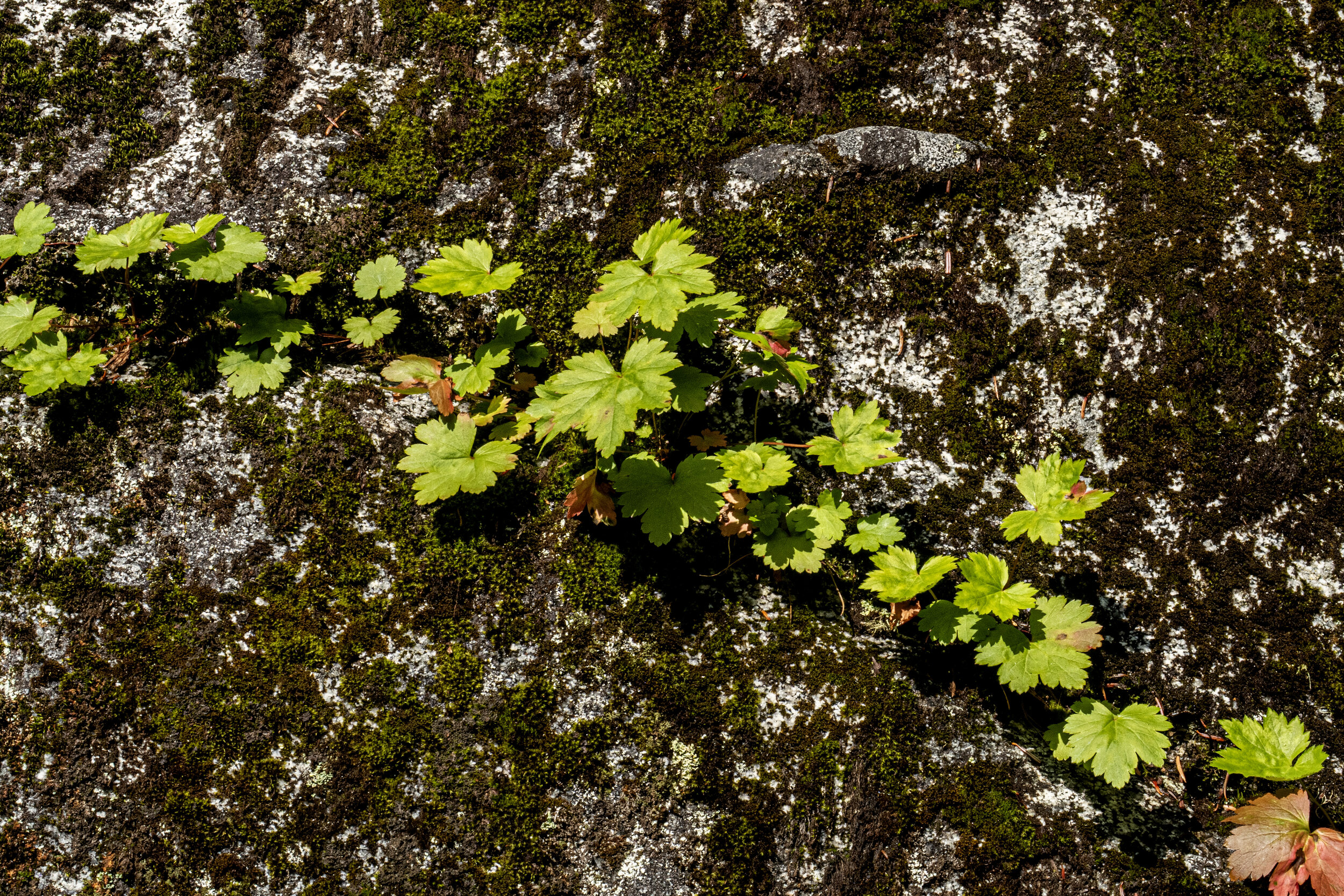
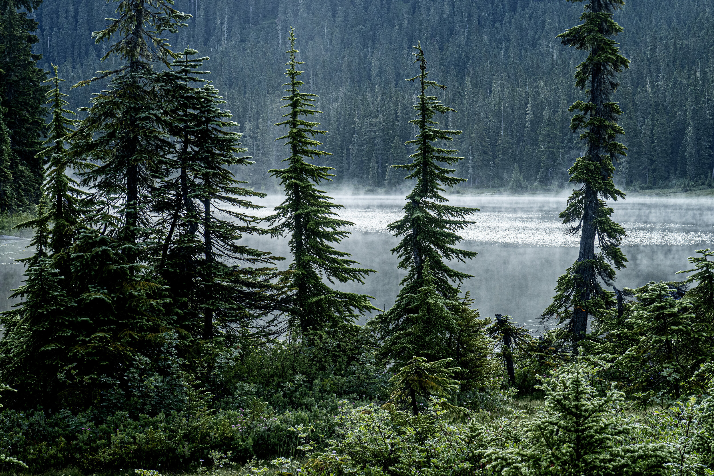
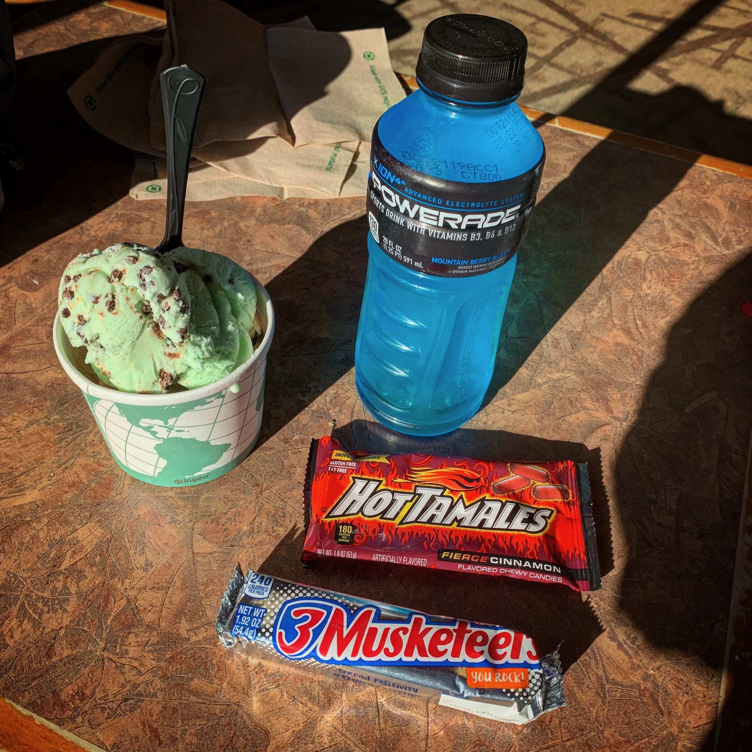
Eventually, I was two days behind “schedule”, a term that would eventually be tossed away to maintain my sanity. My dwindling food supply was augmented by the kindness of fellow hikers, who shared their extras. I was cheered by their encouragement and the company of their own struggles. Although the clouds often shrouded the majesty of this section, the lush green, that all that rain provided, continued to provide incredible beauty for my camera. As I walked into Steven’s Pass, Washington, hoping for a shower and bed, I was sadly disappointed. A bow hunter’s convention had booked the entire area. I slept fitfully on a concrete patio, repackaged my food supply, ate my fill of fast food offerings, and moved on.










July 21-28/ 75 Miles
Steven’s Pass to Snoqualmie Pass
I walked out of Steven’s Pass, exhausted and in need of a bath. At the first lake, I waded in fully dressed to get the stink out of my clothes and my body. In my third week on trail, the rains stopped and mild temperatures returned. I had to focus harder on water management and proper fueling to avoid exhaustion.
It was here that I encountered my first and only live bear on the hike, a large momma black bear with two cubs. We had a very short conversation, just long enough to get an image before the anxious growling turned aggressive.
It was here, pushing up steep switchbacks, that I learned to pray my way through the pain, by holding the pain of others up to my creator. One day my prayerful focus caused me to miss a switchback. Somehow I doubled back on the trail, recrossing a slippery talus slope. I only realized my mistake when I had a profound sense of deja vu atop a ridge I’d crossed that morning. It was here that I crossed paths with the year’s fastest Pacific Crest Trail thru-hiker, just nine days away from completing the entire trail. His advice for a newbie like myself? “Just put one foot in front of the other and keep going. eventually you’ll get there”. It was advice I loathed at the time, because it provided no time to wallow in self pity.
This section provided spectacular views of my companion for the next few weeks, Mt. Rainier. It was here that I realized some hikers are gazelles and others, like me, are slow and steady turtles ( “Tortuga” is my trail name). I learned to stop fighting who I am, and settled into my own pace, despite the rushing ahead of fellow hikers. By the time I reached Snoqualmie Pass for a “zero” (a day with no miles), I was dripping wet, had lost twenty pounds, and had a new perspective on life.



July 29 - August 3 / 98 Miles
Snoqualmie Pass to White Pass
Heading out of Snoqualmie Pass, after a two night motel stay, I was fairly well rested and pushing for mileage. It took awhile to get away from views of highways and power lines. The first few days, the trail passed through small old growth groves isolated by miles of reforested land. The reforested land, replacing heaving logging operations, felt like walking in a Christmas tree farm for days. The trail seemed to rollercoaster in a tree tunnel for days, with few water sources or flowers. I was jaded by the previous weeks’ splendor and hiking became a chore. I learned a hard lesson of paying more attention to my maps and water sources, when I was forced to walk 13 miles with a half liter of water. I shared my disdain of the boring landscape to a few hikers my age, who just considered me a sad case, who simply didn't appreciate the glory of being outside. They warned me that if I didn’t like this terrain, I’d probably hate the full day of hiking through burned forest ahead. I countered that I’d probably love it because at least I could see the sky.
The burned forest was far better than I expected, with carpets of wildflowers and clear, cold streams. When Mt. Rainier reappeared, as I crested a ridge, my breath was taken away. I took breaks to just enjoy the view. One break took too long. I ended the day having to stealth camp on the side of a mountain, too far from any official camping spot.The next morning brought me into Rainier National Park on a rainy day. Hundreds of day hikers were out on the trail, marveling both at my pace and my quest. That day I also hiked straight through the lush William O. Douglas Wilderness.
On a Saturday afternoon, I arrived at the Cracker Barrel gas station/restaurant, at White Pass, to find dozens of northbound “flippers” (northbound PCT hikers who had skipped the Sierra Nevada due to heavy snow conditions). It was the largest group of hikers I camped with the entire trip. I had a fun evening of getting to know so many kindred spirits. It was so crowded that there wasn't room for me to wash my clothes, so I just showered with them on and let them dry on my tent over night. Just before bedtime, I got into a heated text exchange with my best friend, my wife who was feeling the strain of holding the fort in my absence. Our repair plan was to have her fly to Cascade Locks and stay with me for a few days. She would watch as I walked across the state border into Oregon. I left town looking forward to seeing her in a week as I triumphantly walked across the Bridge of the Gods. Famous Goat Rocks was also a few days away and that motivated me to move it.







August 4 - 8 / 66 Miles
White Pass to Trout Lake
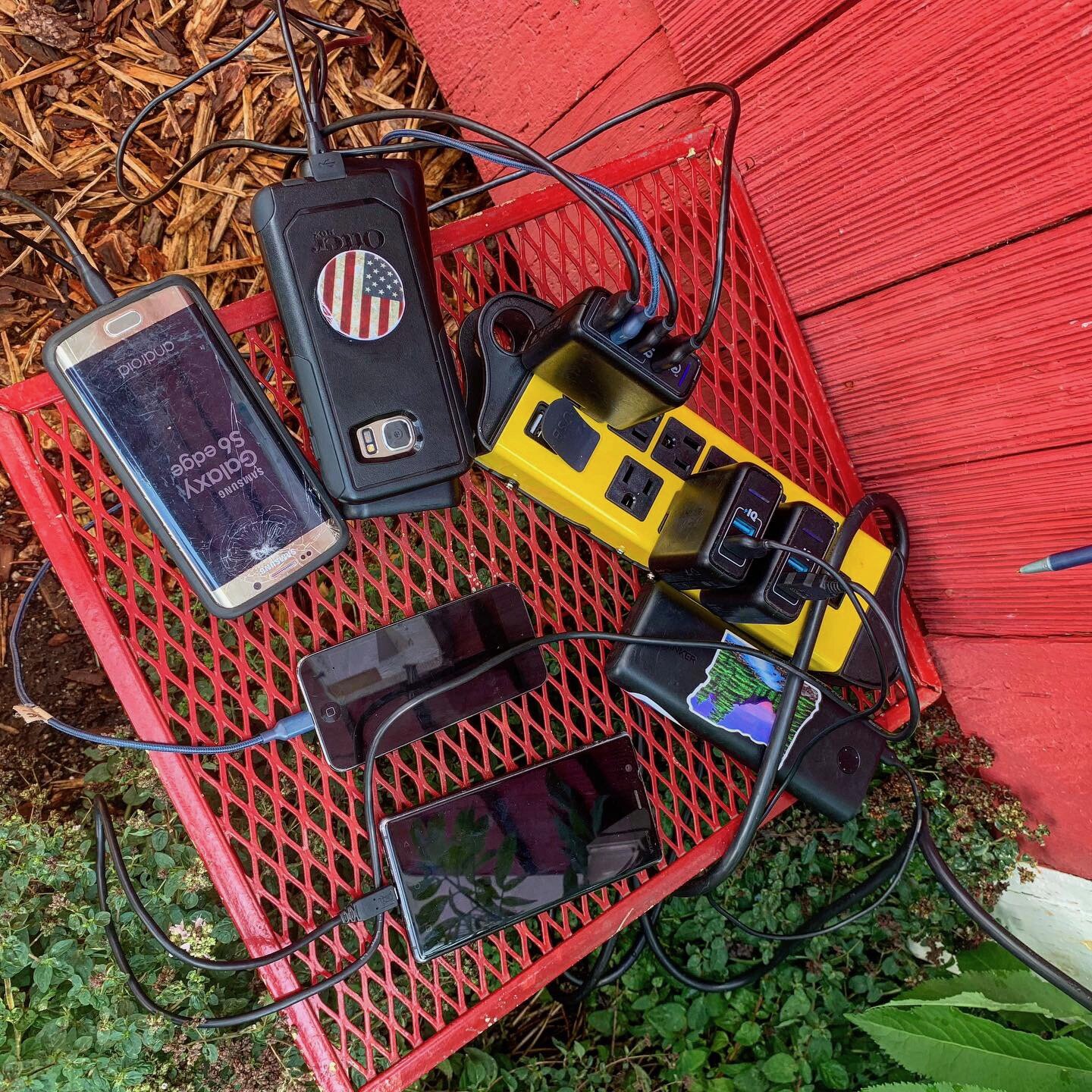
I left White Pass late in the day, after waiting all morning for my external battery to charge. Fueled with the notion that I had plenty of power for a four-day hike to Trout Lake, I jammed up the steep mountains to the beat of music. I followed a flat trail across a long ridge before cresting to see the peaks of Goat Rocks in the distance. Water was scarce all day and every tiny pool was swarming with biting flies. At Lutz Lake, that night, I realized my external battery refused to work. I had used my phone all day for music. Now I had about 15 percent left of a phone charge for the next three days. Well at least the water was good that evening.
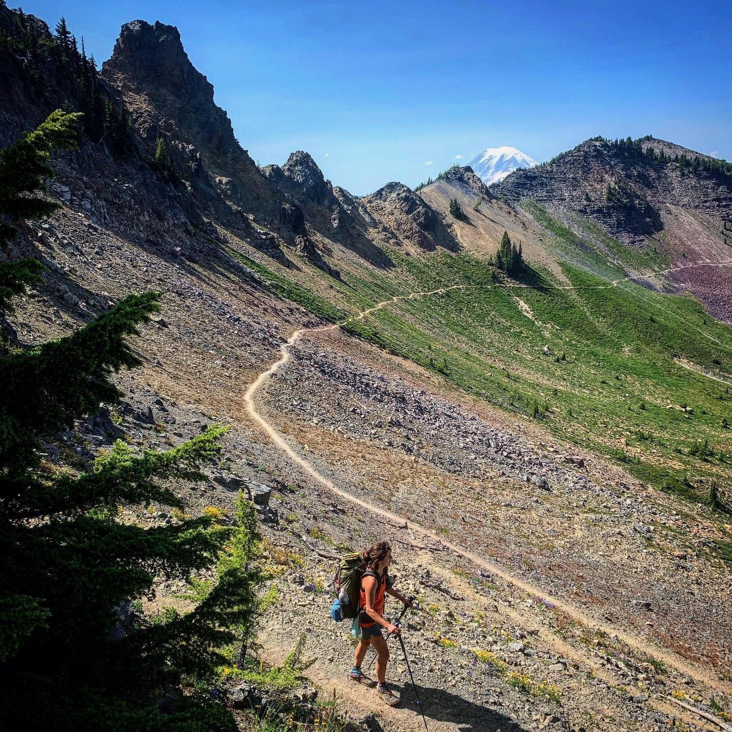
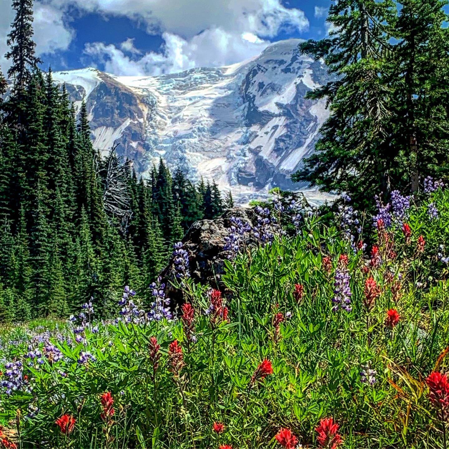
The next morning I crossed paths with fellow SOBO Remy, who was not feeling well. Together we took on the knife edge trail of Goat Rocks and the scary snowfield crossings. The views were some of the best of the entire PCT. Goat Rocks was followed by an amazing mile or two of vibrant flowers. After lunch with Remy, she said she didn't feel well enough to go on that day. I moved on but worried about her for the next few days. That night a generous NOBO (northbound hiker) loaned me enough power to get my phone up to 30 percent. I had been using paper maps for navigation to give my phone a break.
On my third day I passed numerous waterfalls before crossing over Cispus Pass. While filtering water, from an ice cold spring, I looked above me to see a miniature Devil’s Postpile, patterned basalt columns, not mentioned on any trail guide. Numerous NOBOs warned of a coming mosquito Armegeddon, but my overdressing for the onslaught was not necessary. I think many hikers have no idea what truly bad mosquito swarming is like. I accomplished my first 20-mile day, moving faster than ever to camp at Lava Springs, where water poured out of a wall of lava boulders.
On day four, I hoped to go all the way to Trout Lake, but started to feel ill. I passed under the south face of Mt. Adams and stopped at beautiful Killen Creek for photos. My intestinal issues worsened. I crossed Adams Creek, in strong currents up to my waist, it was the sketchiest crossing of my trek. Fortunately it was a warm day. I rested and dried out after the creek crossing, eating lunch and sharing stories with a couple, retired school teachers, working on their second PCT thru-hike.
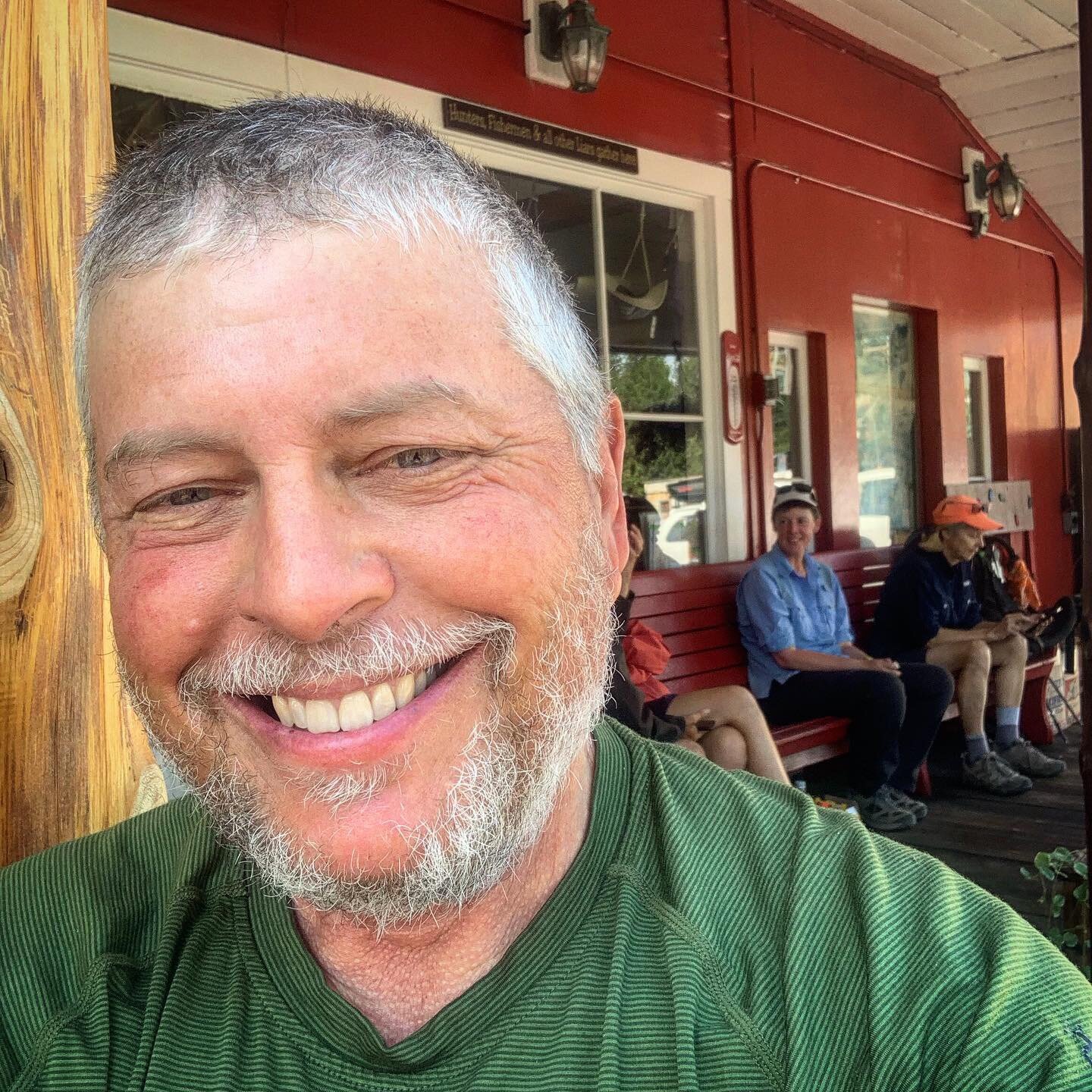
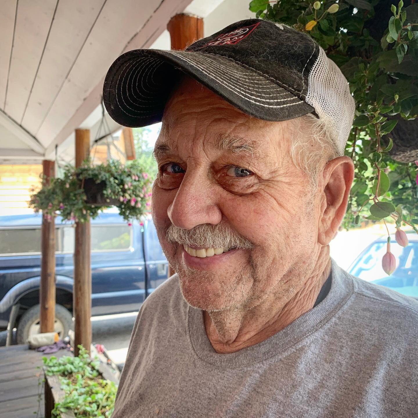
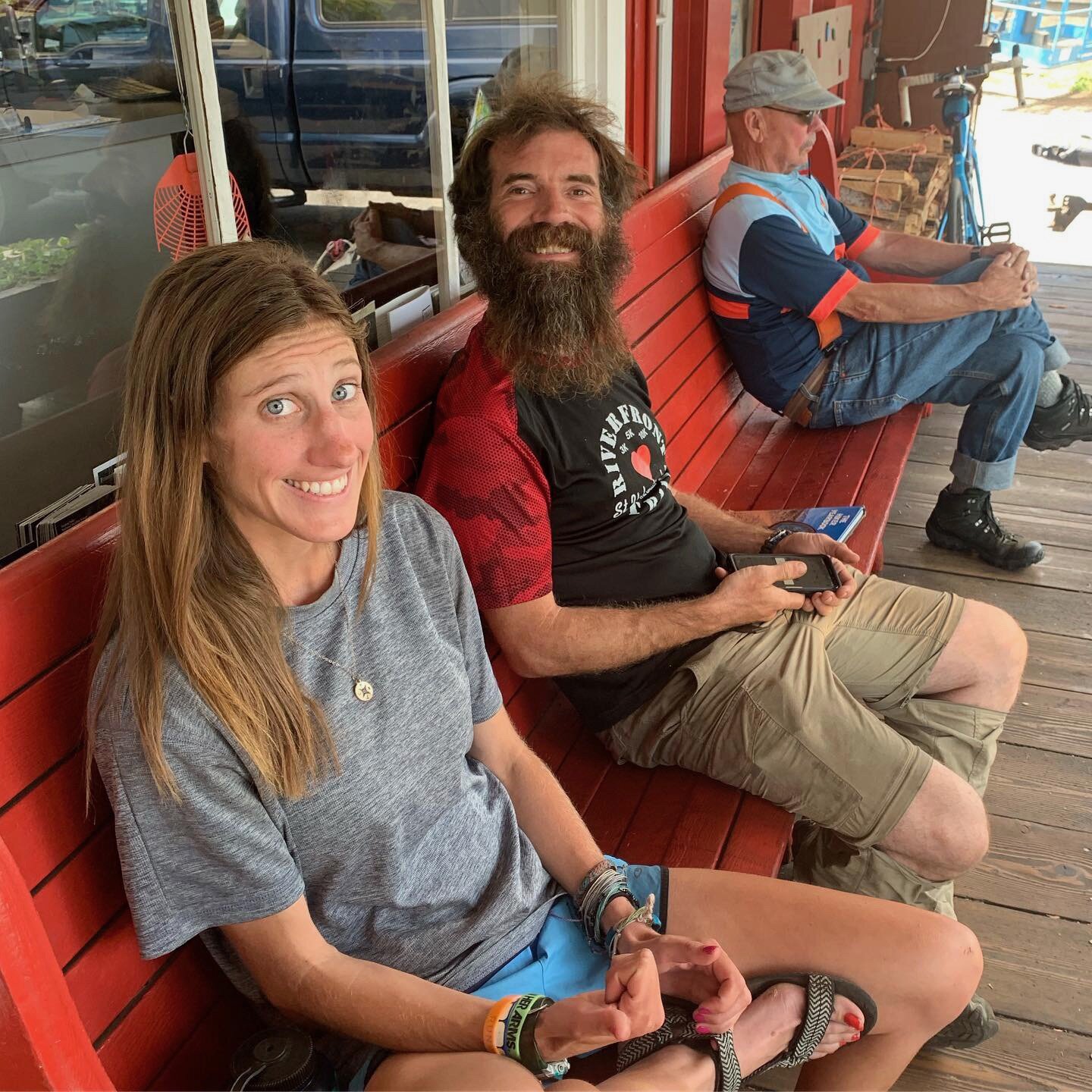
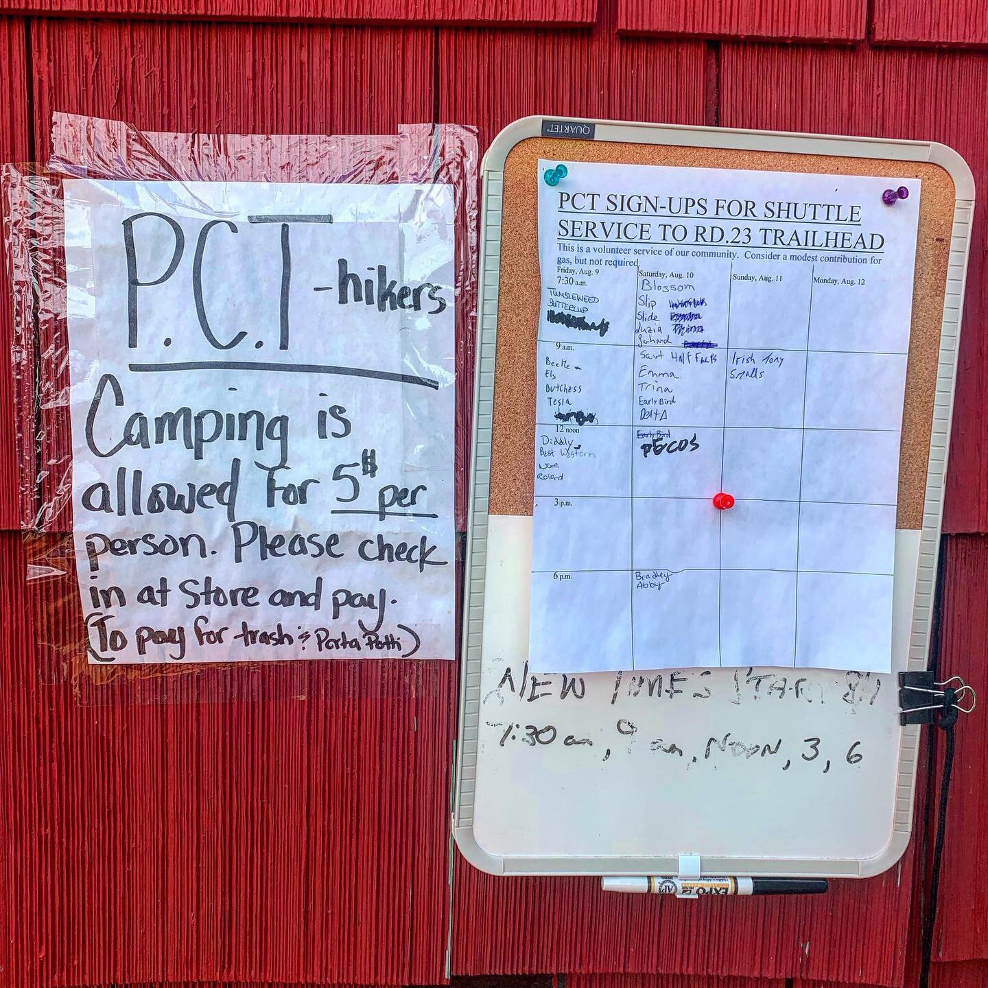
The rest of the day was miserable. I was definitely sick, weakening, hiking in a hot burned forest, with no water sources. I hiked until dark to reach a spring. I pitched my tent in the rough camping site and set my alarm for 4am. I planned to reach the road to Trout Lake by the time the first volunteer shuttle arrived at 7 a.m. I arrived an hour early, but scored a ride from a local who was dropping a family member at the trail crossing. In Trout Lake I managed to get one of the store’s three rooms. I took three baths to get myself clean and soak in epsom salts. Sitting on the Trout Lake Store’s red bench was a delightful. In all my hiking, Trout Lake was my favorite trail town. The whole town is kind to thru-hikers. The locals have fascinating stories to tell about growing up in this tiny forest town.
After a fitful night’s sleep, I knew I was too sick to hike out of town the next day. I feared I might have the dreaded intestinal infection, giardia. When I inquired about the doctor in town, store owner Bev Meyer told me he was an excellent doctor but not in town that day. She started calling a clinic, 20 miles away in White Salmon, to make an appointment. When I asked how I could get there, she handed me the keys to her car. What? Long story short, I went to the clinic, saw doctors and had labs done. I spent the rest of the day in Trout Lake and slept the store’s nicest room that night, during an epic rainstorm. The next day my daughter-in-law’s brother, Brian, came from Portland to take me to his home for recuperation.
Meanwhile, fellow SOBO Remy had dragged into Trout Lake and was too weak to move on. The town doctor eventually told her she should stop hiking and go home to rest. Washington was definitely a tough state to cross for many.








August 9 - 16 /Zero Miles
Illness, Trail Magic, Love and Recuperation
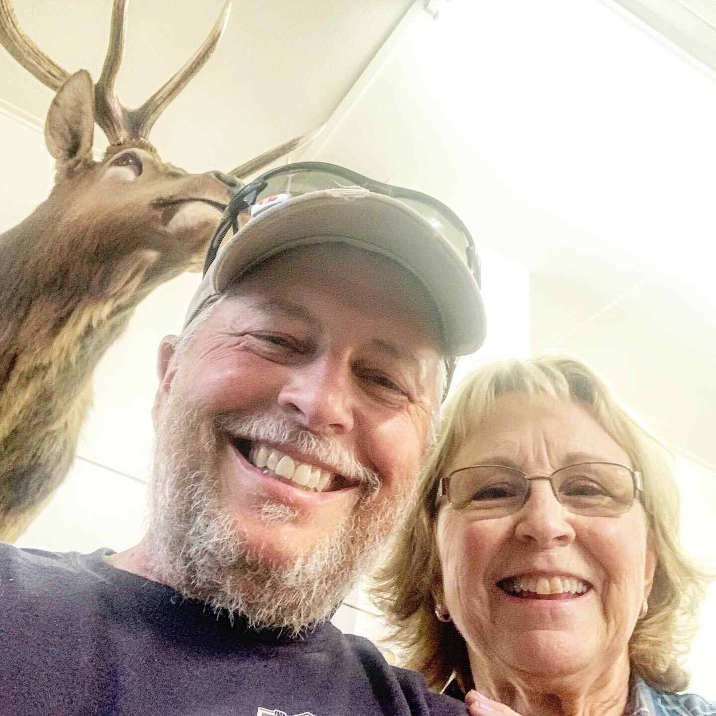
As I was entering Trout Lake, Washington I was feeling sick. My wife Carole had planned to meet me in Cascade Locks as I triumphantly crossed the Bridge of the Gods. Instead I spent a week off trail recovering from an intestinal infection. I feared I had giardia, a condition that would likely end my trek. Hundreds of friends and family were praying for me when I received a lesser diagnosis.
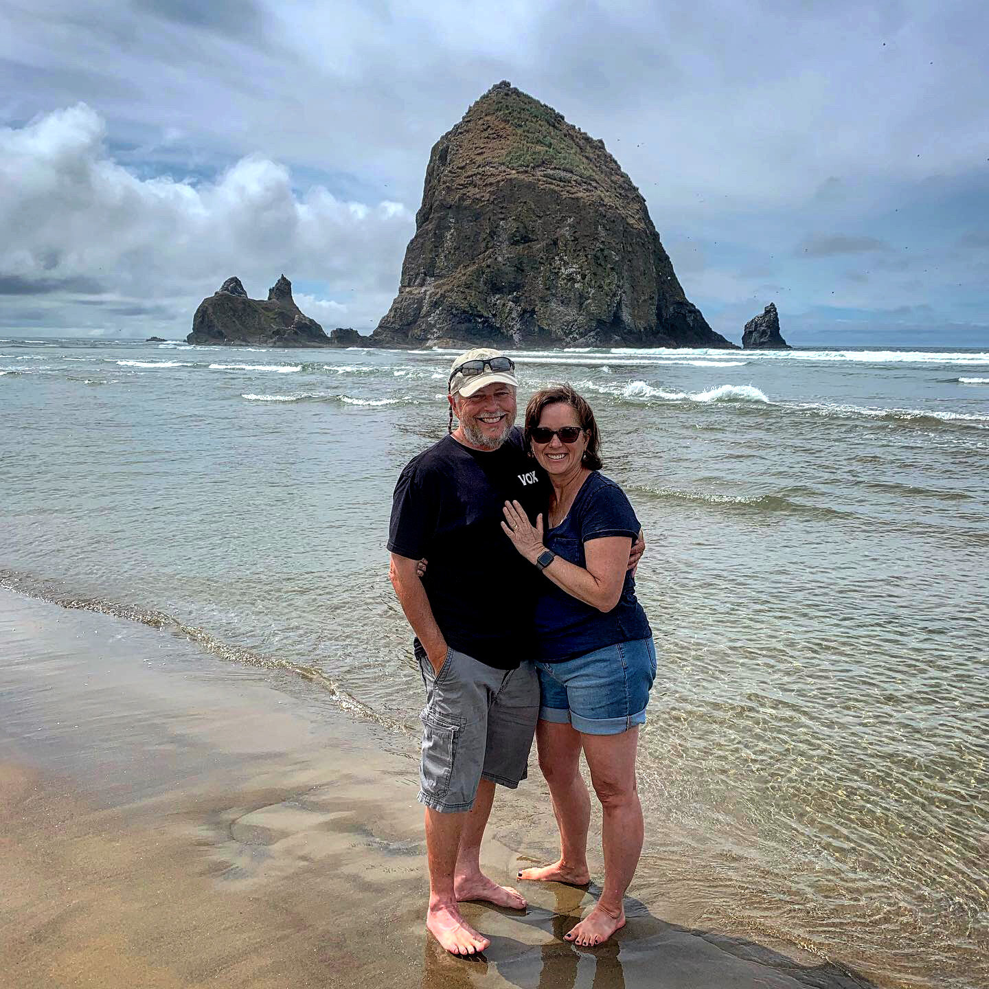
I was rescued by my daughter-in-law’s brother, Brian, and his wife Brenda, who let me sleep off the illness for a few days in the Portland suburb home. Carole arrived in Portland and spent four days with me, enjoying Cascade Locks, road tripping to Cannon Beach, Astoria, and Multnomah Falls. Before heading home, she delivered me back to the trail near Trout Lake. On the way we stopped in Trout Lake so I could introduce her to their amazing trail angels. It wasn't the planned experience but, like all things PCT, the adventure was awesome despite my expectations.




August 17-19 / 82 Miles
Trout Lake to Cascade Locks
Back on trail I found my hiker legs in a day or so. This sort section seemed like it would be easy because it eventually would descend into the Columbia River Gorge. The hiking was harder than I expected with back to back mountains to climb each day. The forest though, was one of the greenest of all and reminded me of the world of Avatar. Sections of difficult volcanic rock trail got me cursing, since I was so close to finishing Washington and could taste an important milestone in my trek.
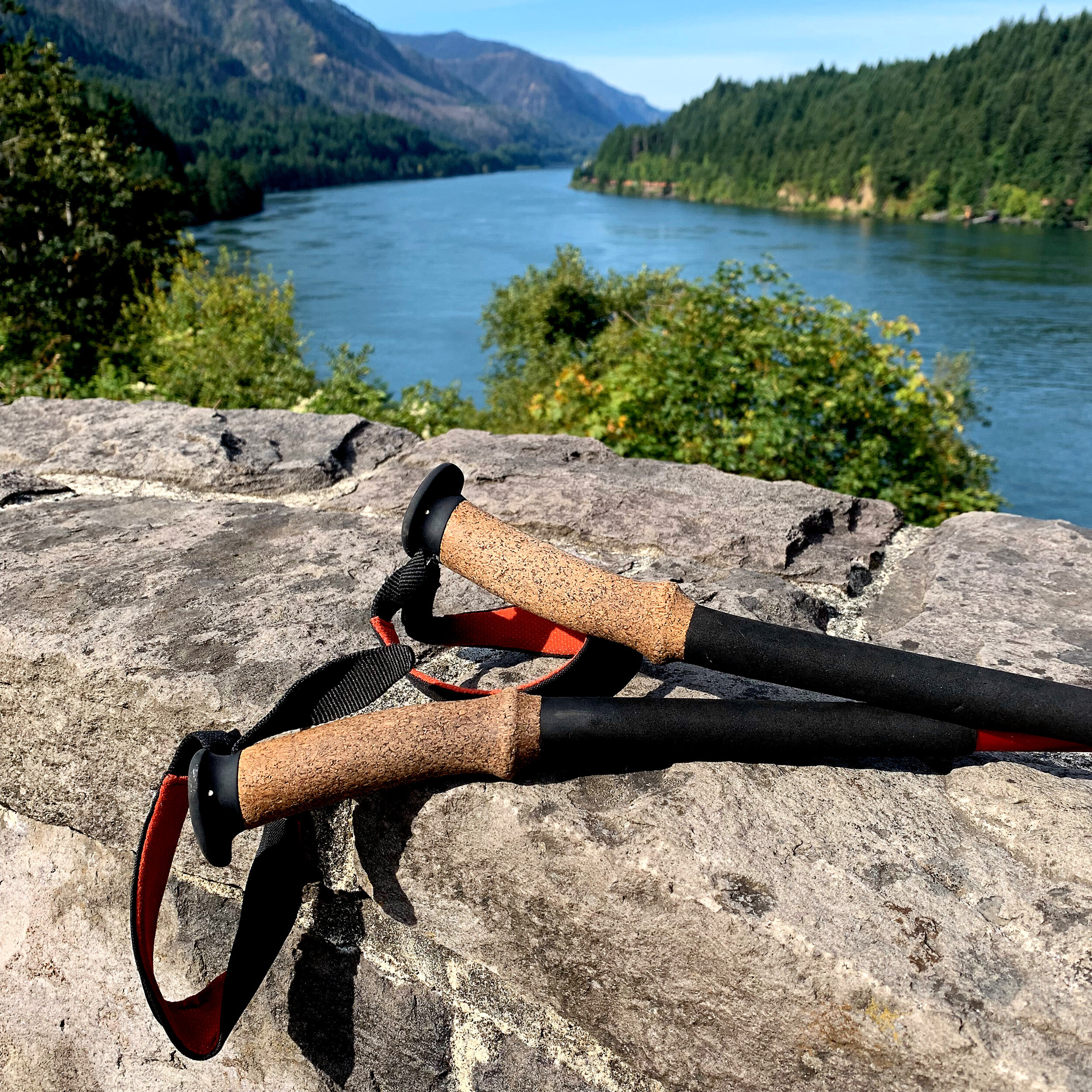
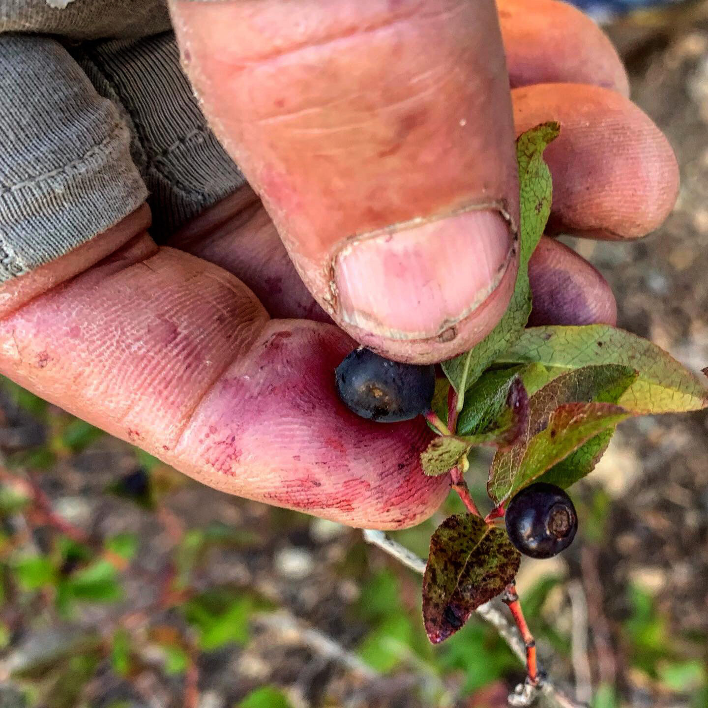
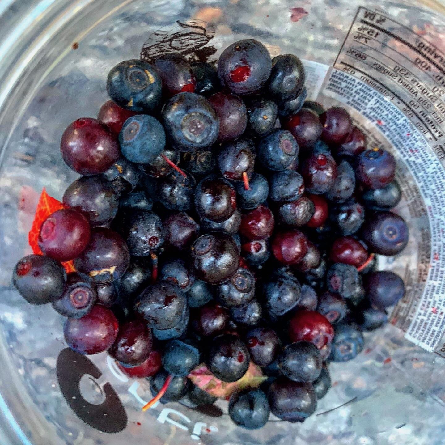
I was surround by millions of blueberries but none were ripe. Most of the time I was alone except the final day, when dozens of hikers passed me northbound after attending the PCT Days hikers gathering in Cascade Locks. Eventually I spotted Mt. Hood and then the wide Columbia River. I pushed on all morning to make it to Cascade Locks for my second visit. Crossing the Bridge of the Gods was a highlight of my trek, crossing my first state, a third of my miles, overcoming illness and injuries. Town provided a bed, shower, laundry and delicious food. I spent the night in a hotel and stayed up far too long catching up with friends and family on social media.













August 20-28 / 148 miles
Cascade Locks to Santiam Pass
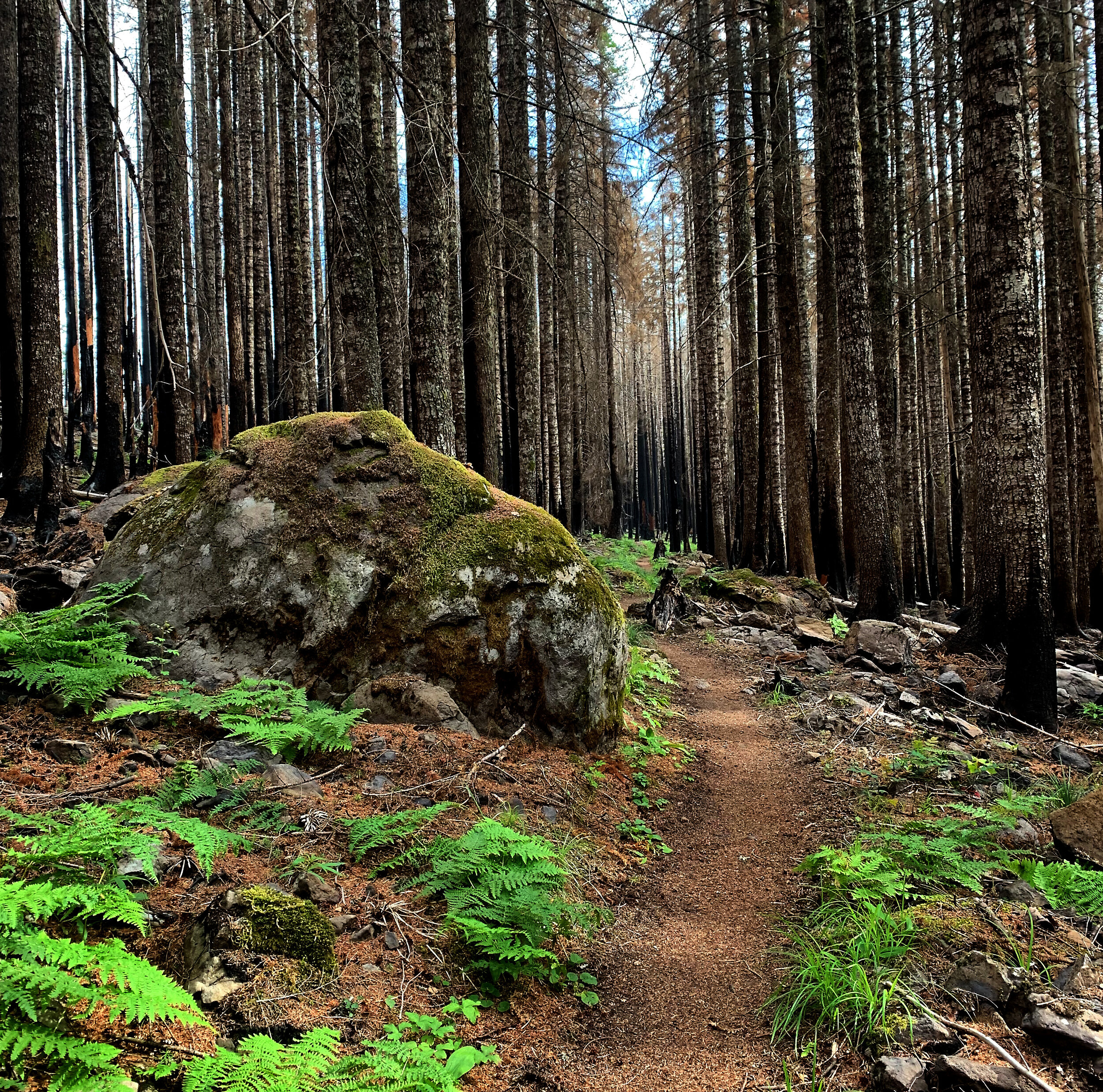
This long section was originally going to be broken into two pieces until I checked the prices for a room at Timberline Lodge ($$$). With a late start and one of the toughest climbs of the PCT (4,000 feet in elevation in the first 10 miles with a fully loaded backpack), I didn’t make my original goal of Wathum Lake, and camped instead in burned forest where the thought of trees toppling in the night didn’t escape my imagination. I had caught up to a young couple that day, who were also dying of the climb, which gave me perspective that I wasn’t doing so badly. We even spent a water break doing a little processing of a recent fight they had after they found out I am a licensed couples therapist.
I made a tacticle error in Cascade Locks, shipping home my rain gear as I entered the warmer climbs of Oregon. The second day I had to hole up in my tent early in the day due to the unseasonable downpour that was soaking me and my gear. Fortunately I had strong cell service and spent the afternoon catching up with friends and family.
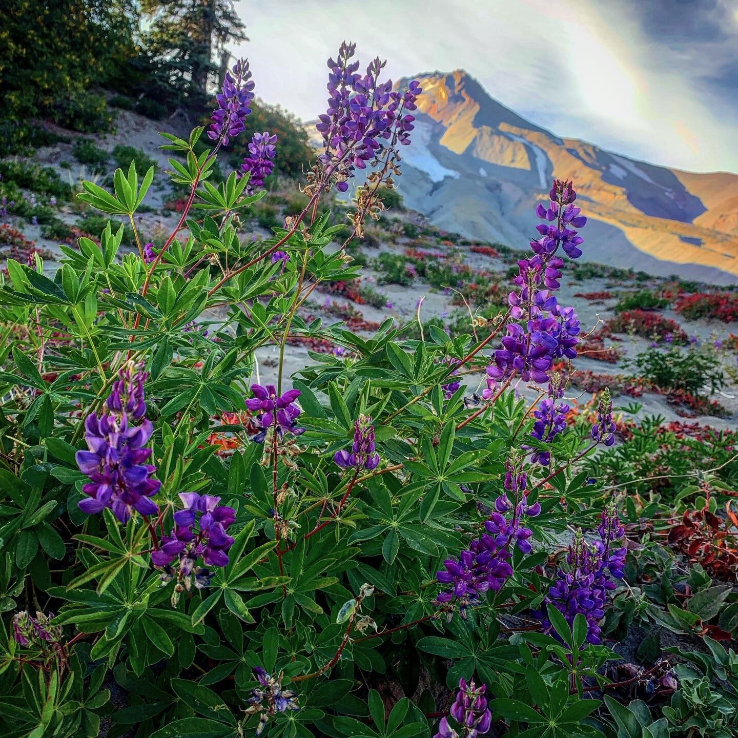
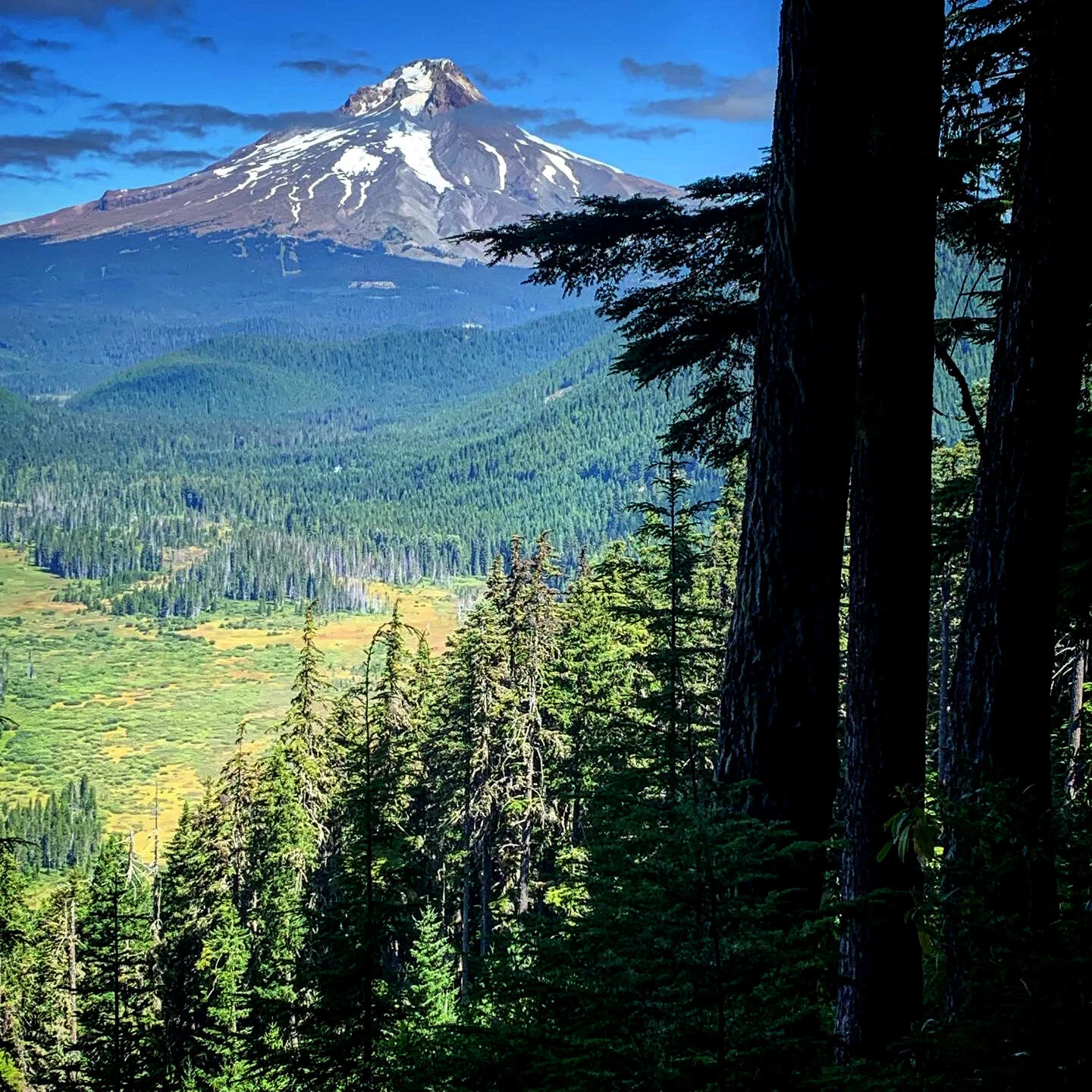
On my third day , I took the alternate route to see Ramona Falls near dusk. Just stunning and a not to be missed sight. I slept by a creek in a dark canyon that night. The following day I climbed into wide open, jaw dropping views of Mt. Hood and arrived at Timberline Lodge for lunch. The Sea to Summit road race was sending off its last set of runners from the parking lot as I arrived. The runners had eaten most of the food at the cafeteria so my option was the bar, which was an excellent choice (killer draft root beer) and the company of a NOBO made the meal that much more special as we swapped tips of the coming sights. I picked up my resupply box there and repacked it before heading out for the evening, camping just a few miles away.
The next day was one of my longest mileage days, 26 miles, but could have been longer if I hadn't spent hours chatting with “true” NOBOs. The wave of northbound thru-hikers, who had walked straight through the arctic condition of the Sierra that year, were now closing on Washington. Their stories were epic and currently they were almost all putting down 30 mile days and some had gone as fa as 40-60 miles in a single 24-hour challenge. This section of northern Oregon turned out to be the most forgiving section of the PCT and cruising high miles each day was fairly easy.
In coming days, I passed the lush meadows below Mt. Jefferson, grieving the news of a dear friend who had lost his battle with cancer. It was a bittersweet time in my hike. I was holding dozens of people up in prayer during my morning hours of hiking and rationing my batteries for music or books in the afternoon. I hiked alone and talked to 40-50 true NOBOs. I restocked junk food at Ollalie Lake and moved on.
On my final morning I rose before dawn, experiencing a profound sunrise before tackling Three Fingered Jack. I was pushing hard that day as I had a promised ride into Bend, Oregon, for a zero day of rest and relaxation. The trail turned sour near the end, hiking in hot sand through burned forest, but the heat was quenched by an ice cold ice tea left by a trail angel at Santiam Pass. My ride, Christy Wank Shoemaker, arrived just 15 minutes after me and drove me straight to McDonalds. A coke and filet of fish never tasted better.













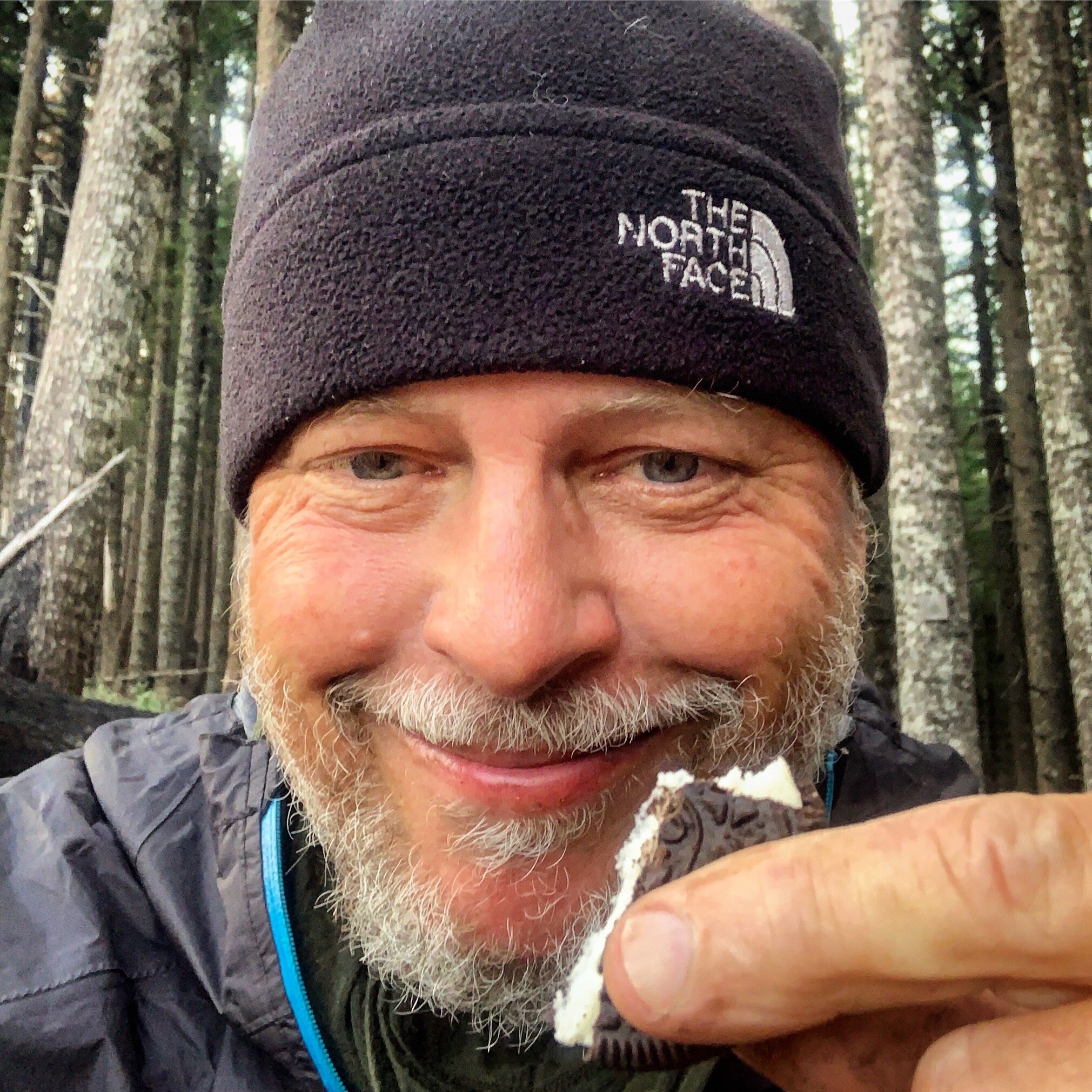


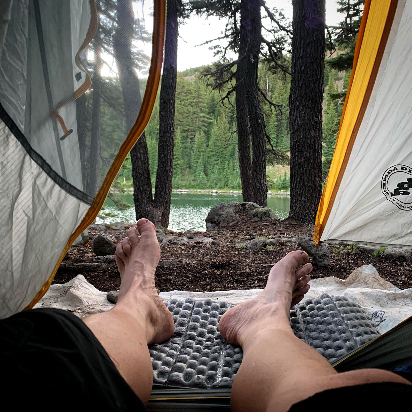




August 28-30 / Zero Miles
Zero Day in Bend, Oregon
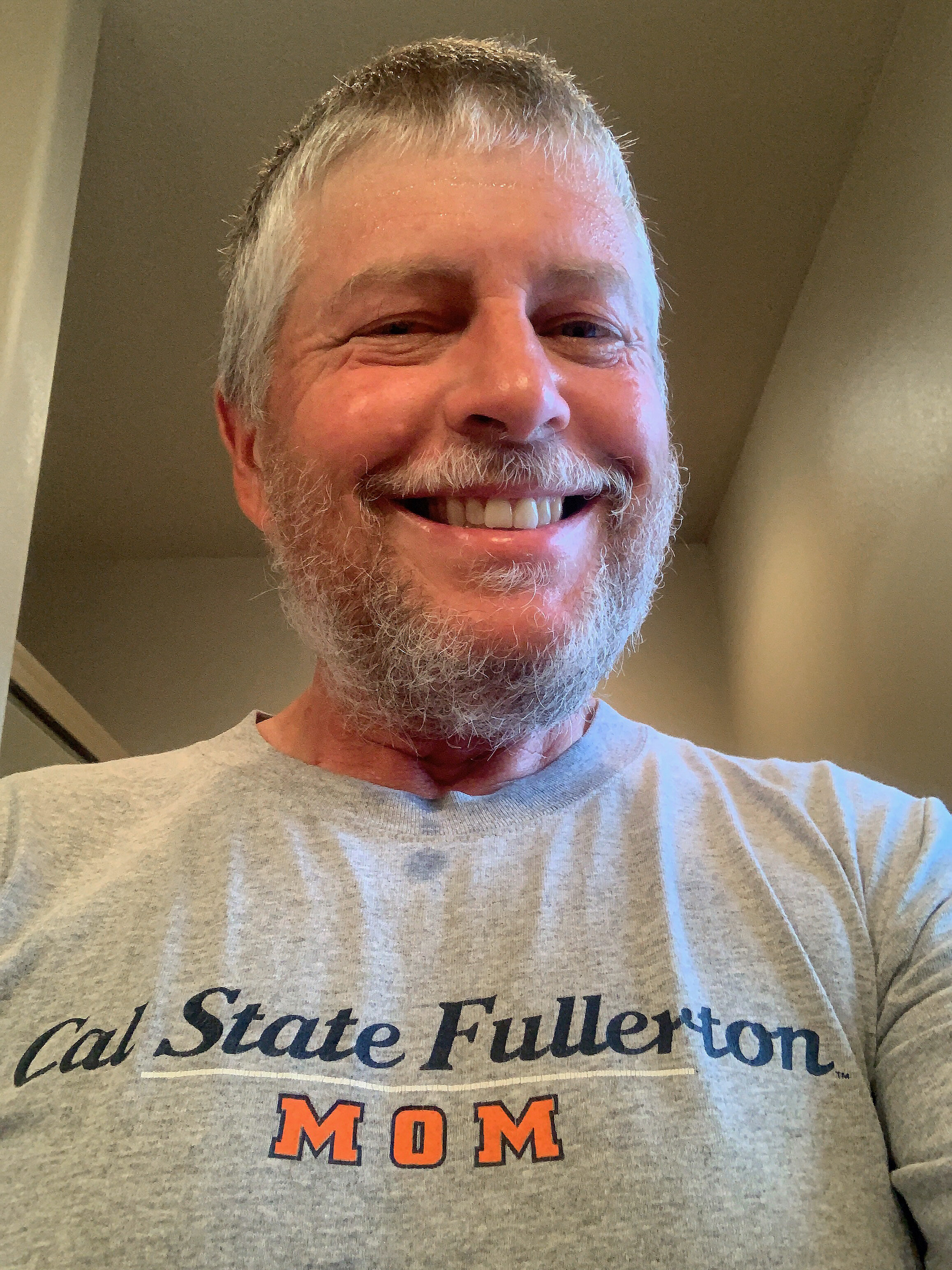
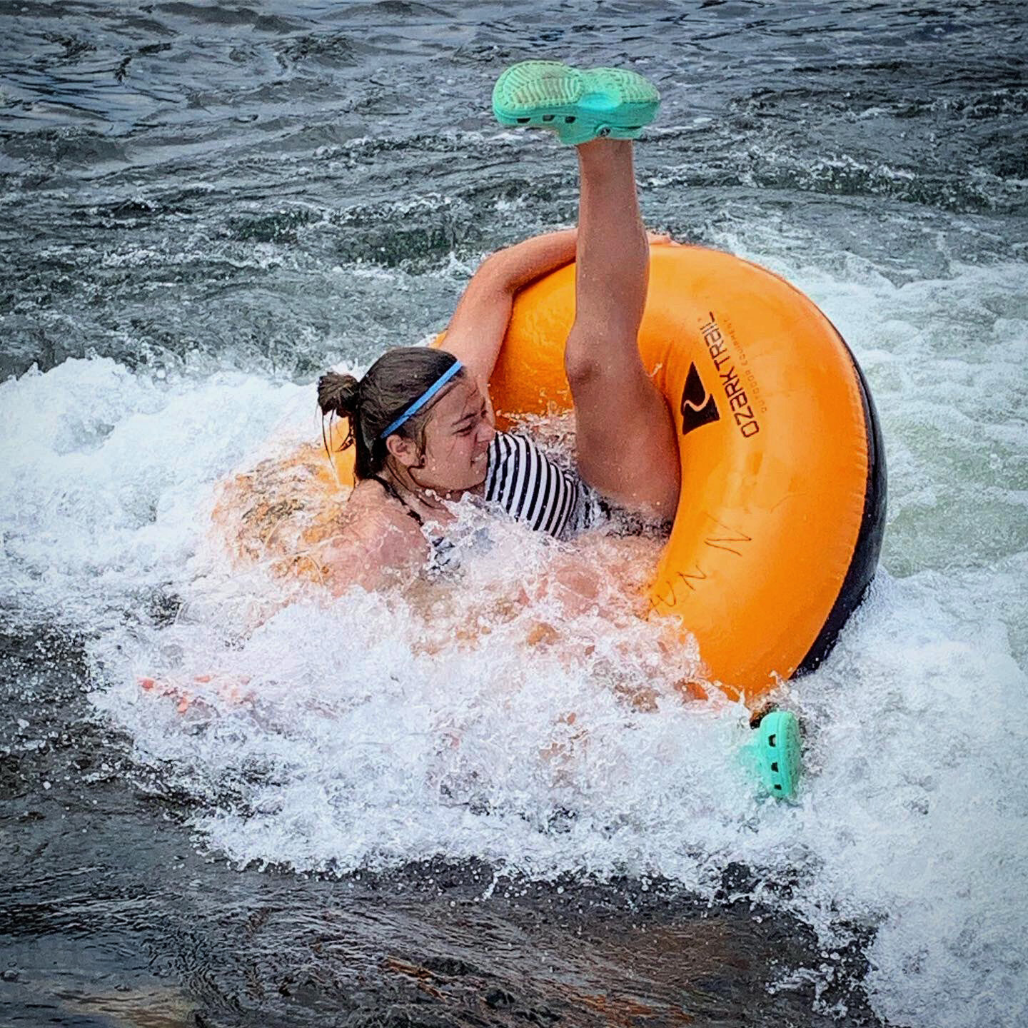
My host in Bend, Oregon, spoiled me for a day and a half before delivering back to the trail. A high school friend of my wife, Christy is an excellent amateur photographer and she showed me many sights of Bend, including nearby Smith Rock State Park. We stopped by the river surfing spot on the Deschutes River in Bend and delighted to tubers flipping over in mini rapids. We ate excellent food, drank local beer, resupplied at REI, Apple, Columbia, and the grocery store. I took multiple showers and sleep well for two nights. It was definitely the best zero of my trip. Thanks Christy!




August 30 - September 3 / 94 Miles
Santiam Pass to Shelter Cove Resort
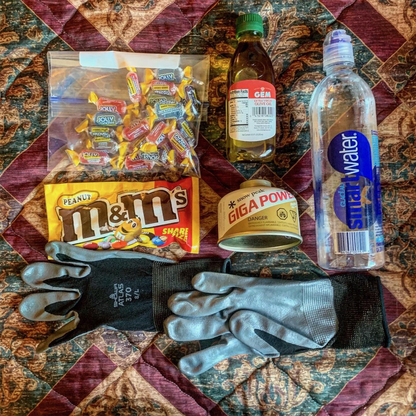
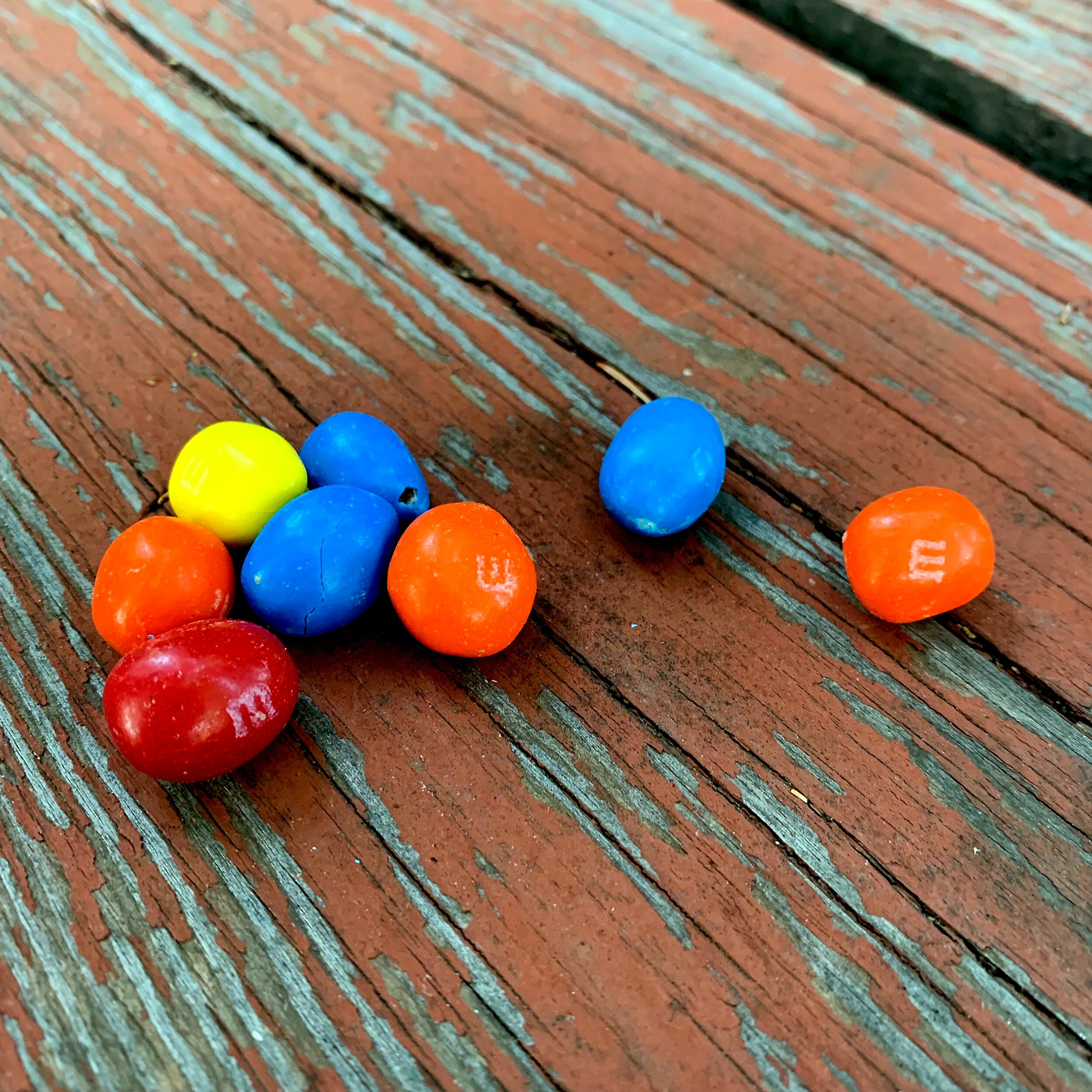
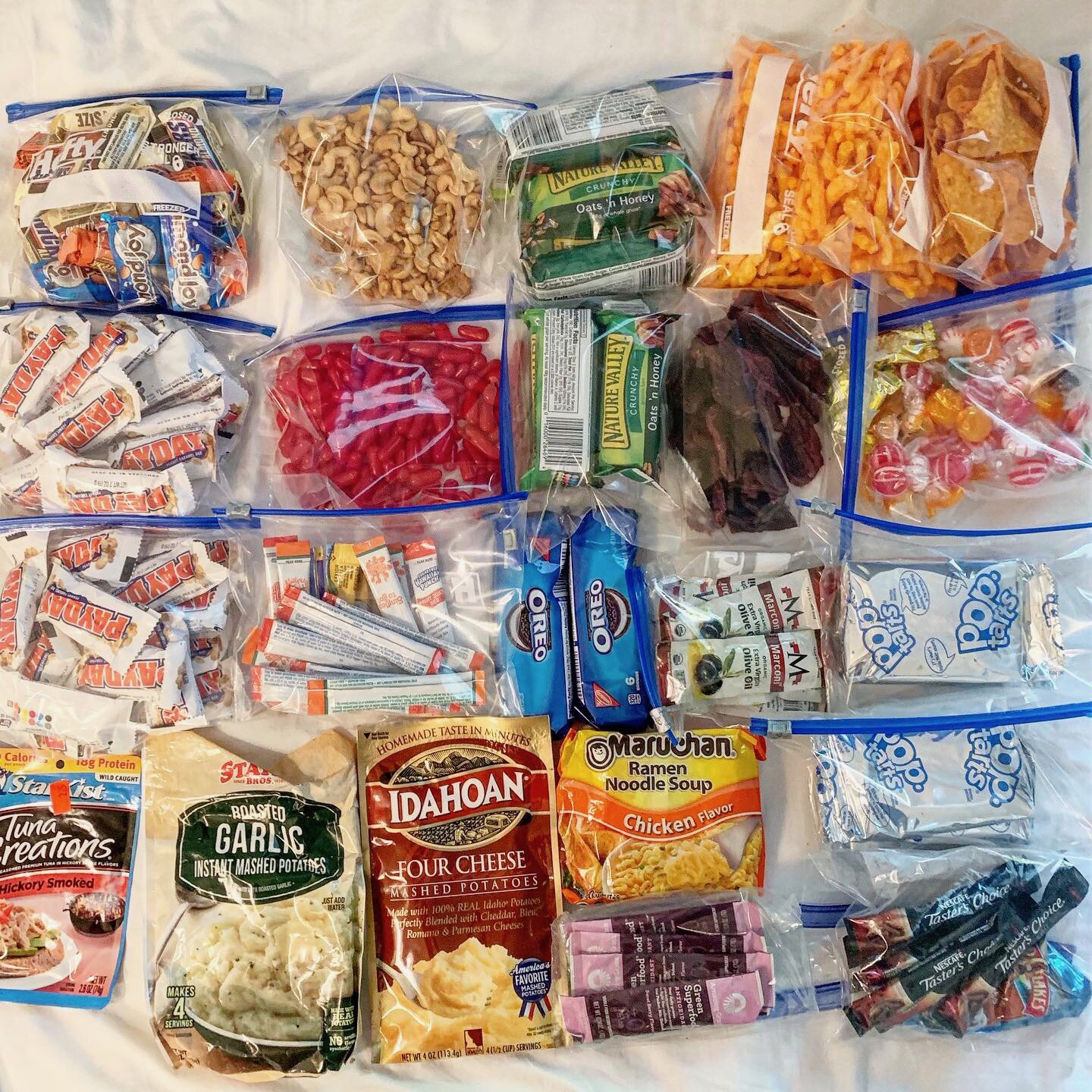
Fully rested and resupplied, my friend Christy dropped me off at Santiam Pass on an early and foggy morning. I quickly walked into Big Lake Youth Camp, where I had resupply box waiting for me. Since I’d resupplied in Bend, most of my resupply food went into the hiker box and several of the super skinny NOBOs there scooped it back out, shocked that I was giving away all of this food. I was packing 10 Payday candy bars among other things in my food bag. I had definitely dialed in a high calorie diet that was far more satisfying then the cliff bars and freeze-dried meals that I had hope would sustain me.
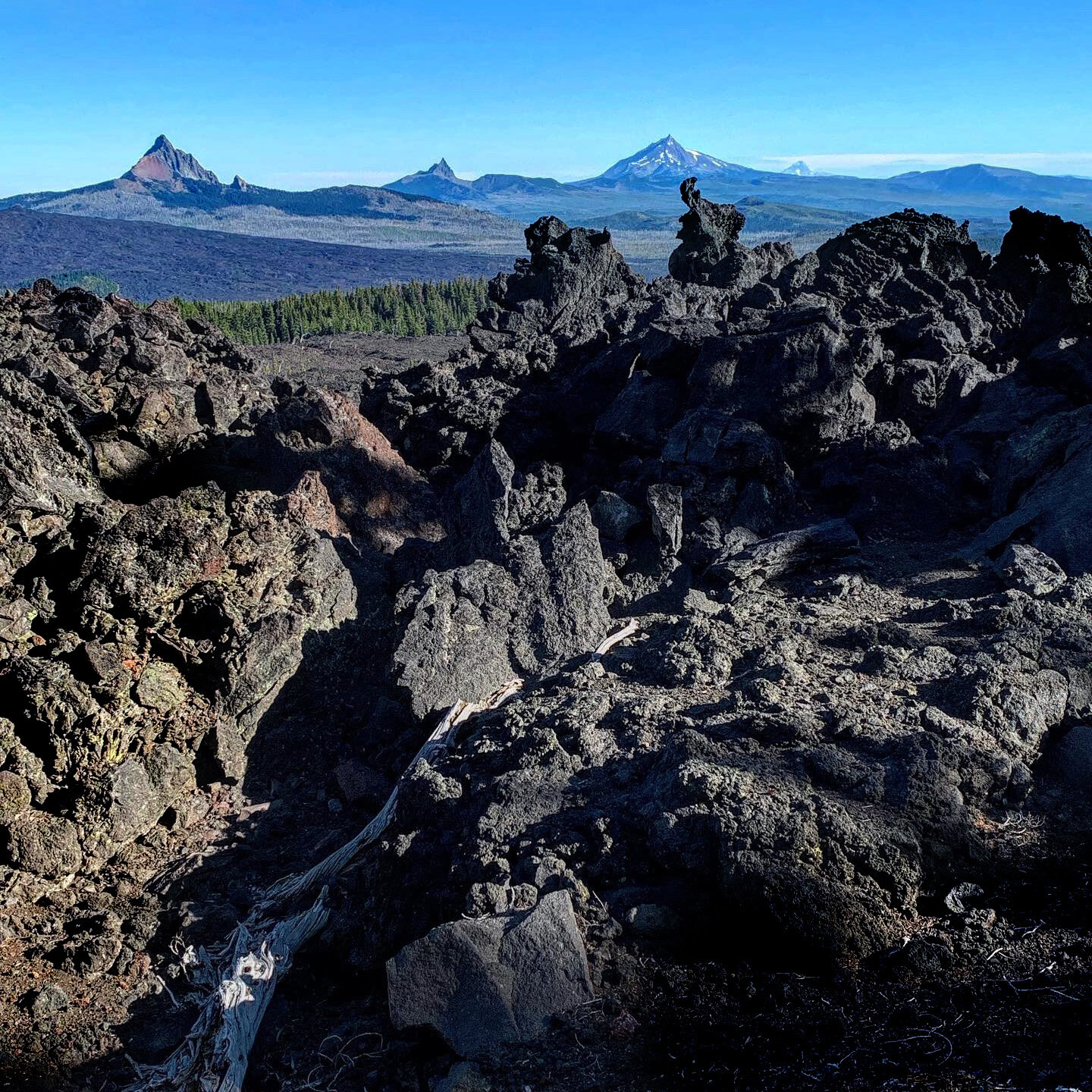
That first day was almost all crossing black lava rock, where I could not move fast for fear of falling on the sharp stuff. I was a very long 20 mile day. The second day, the trail took me to the west side of the Sisters (North, Middle, and South). I thought this was consistently the most beautiful section of Oregon. It was filled with mossy meadows, cold springs and lots of obsidian. You often caught view of all the volcanic peaks I’d passed in Oregon, all the way back to Mt. Hood.
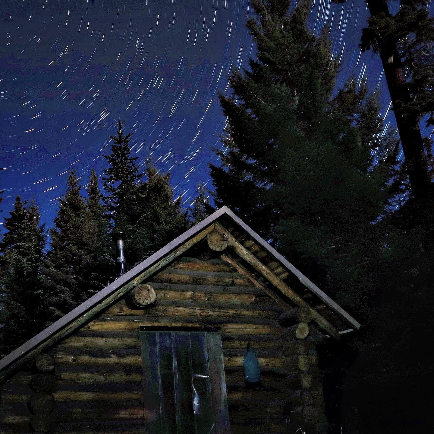
In Bend, during my zero day there, my host Christy had challenged me to start taking star shots on moonless night. The second night found me camping on the edge of a wide meadow, so I stayed up to full darkness and dialed the process in on my Canon GX7 Mark II. It was a bit unnerving being out in a meadow, with a headlamp, no one around, after the multiple stories of mountain lions I heard in the past few days.
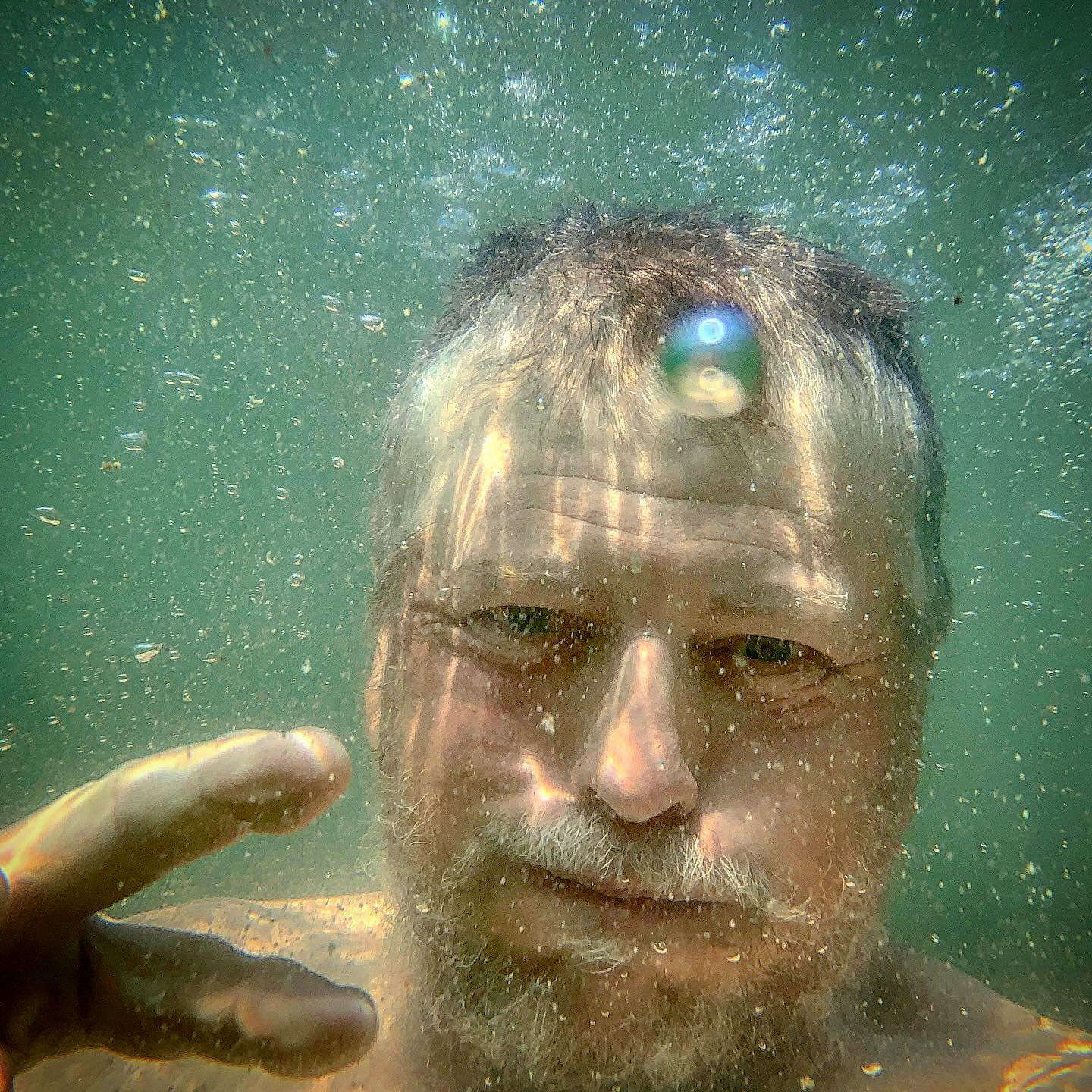
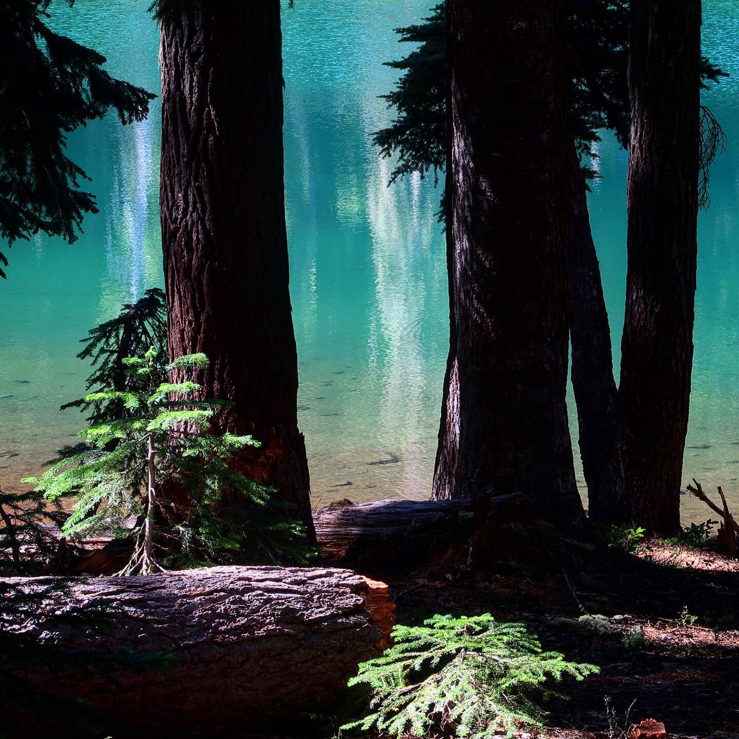
After the Sisters, South Sister my favorite, I began to pass numerous small lakes that called for swimming. I camped at Dumbbell Lake my third night and the sunset and stars were exquisite. The next day I swam in Brahma Lake, with not a soul about on a Labor Day Weekend. I hiked a hard 20-mile day to reach Charlton Lake just before dusk. The milky Way was outstanding that night, reflected in the lake. I realized at that point I was exactly half way through my hike. That thought was daunting because I’d been on train for two months now and this was planned as a 3 1/2 month trip. But I was hiking faster and catching up to my original plan.
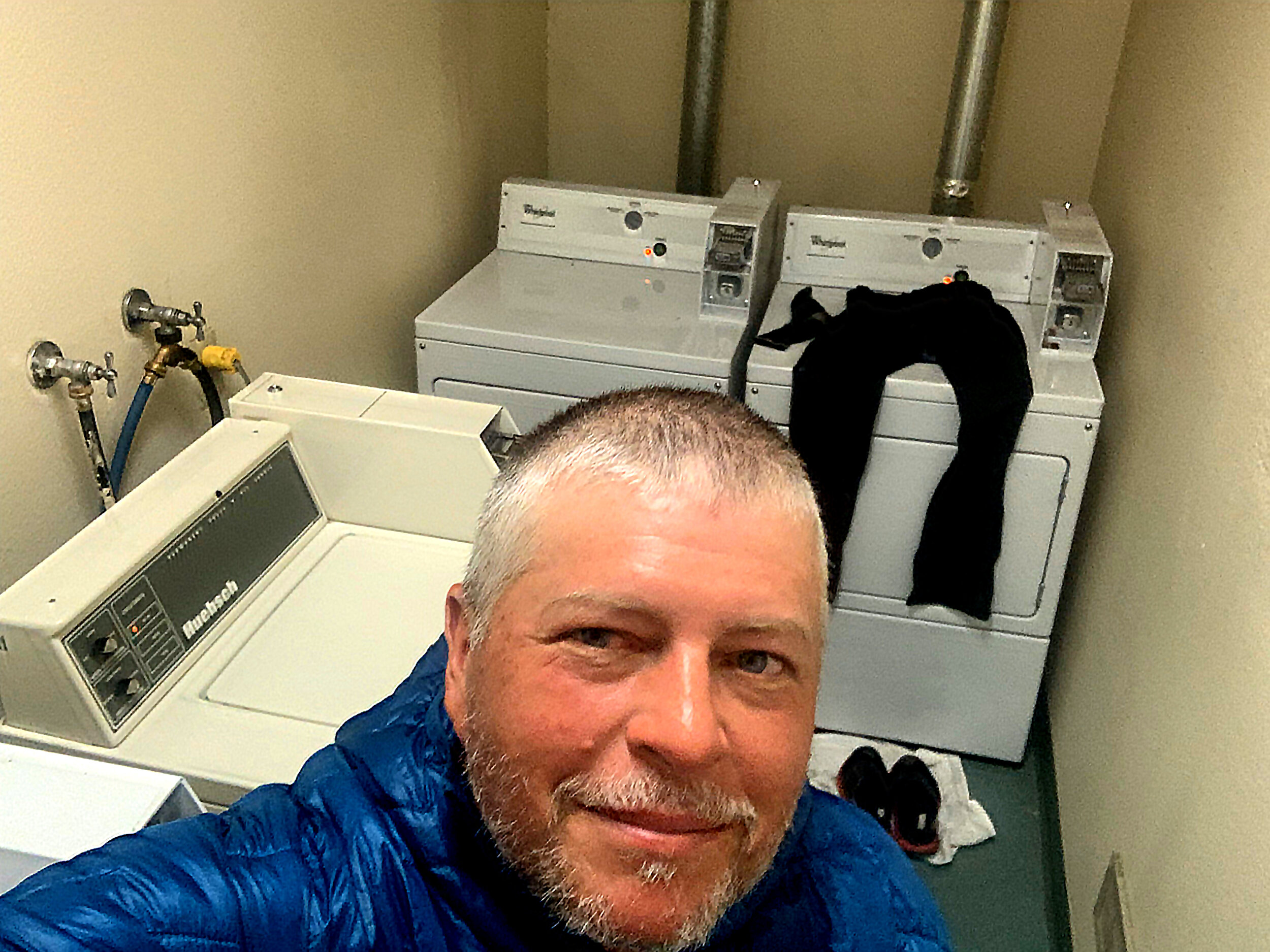
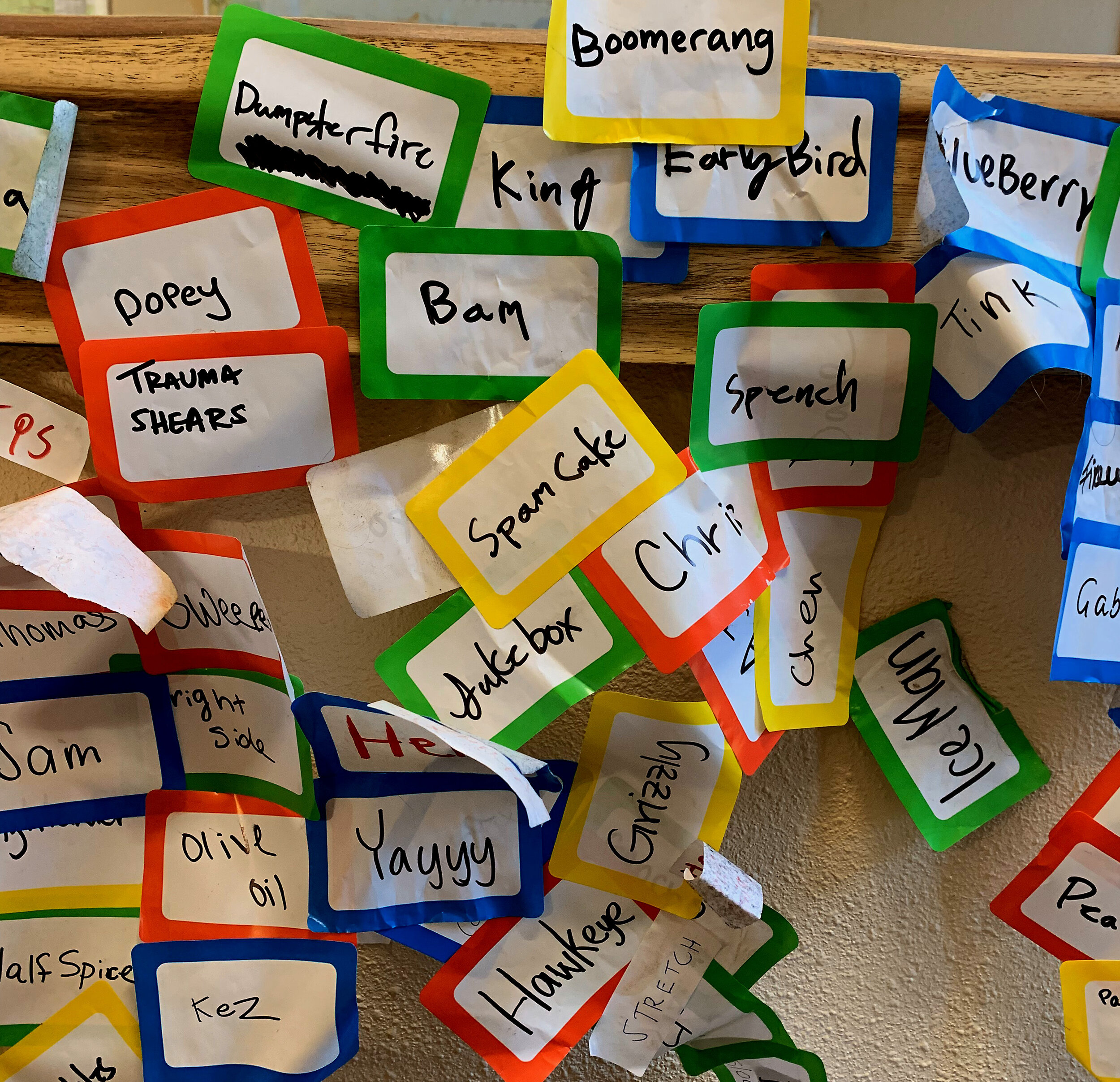
The next day I pushed hard for 21-miles to make it to Shelter Cove resort to get a resupply box and feast at the resort’s restaurant. Just a few miles shy of the resort, a northbound hiker gave me the bad news that the restaurant was closed for the next few days because the cooks had worked so hard over the Labor Day Weekend, they’d been given a few days off. Sigh. Well I made due with food from the store to satisfy my cravings. there were lots of thru-hikers coming and going here, and again I gave away over half of my resupply box to their amazement. It was a cold evening, so I took a shower and then locked my self into one of the coin operated shower rooms as I did laundry. the heater inside the shower room kept me warm as I finished off a pint of Häagen-Dazs ice cream. I stayed so long I found it difficult to find a camping spot in the dark and ended up camping right behind a few high priced motor homes. It was definitely a resort of the haves and have nots.















September 4 - 8/ 70 Miles
Shelter Cove to Crater Lake
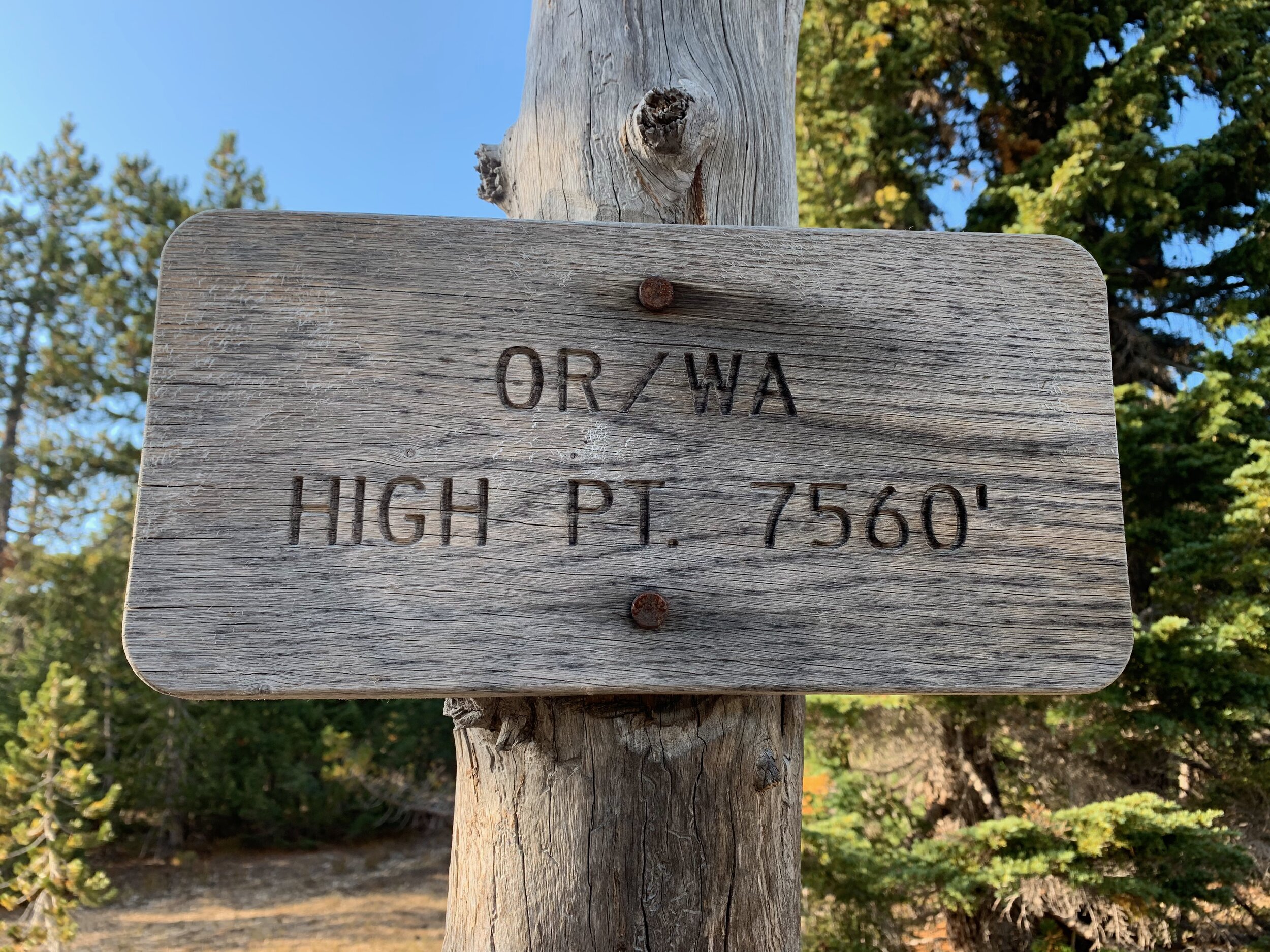
I left Shelter Cove and climbed all day into high alpine forests, heading for the highest point on the PCT in both Oregon and Washington (7,560 feet - not really that high). When I arrived there I found a large of group of true NOBO’s getting high on weed. I passed them with greetings before heading a ways off to make my own video version of the opening scene of the “Sound of Music” (I was frustrated for a day unable to upload that gem).
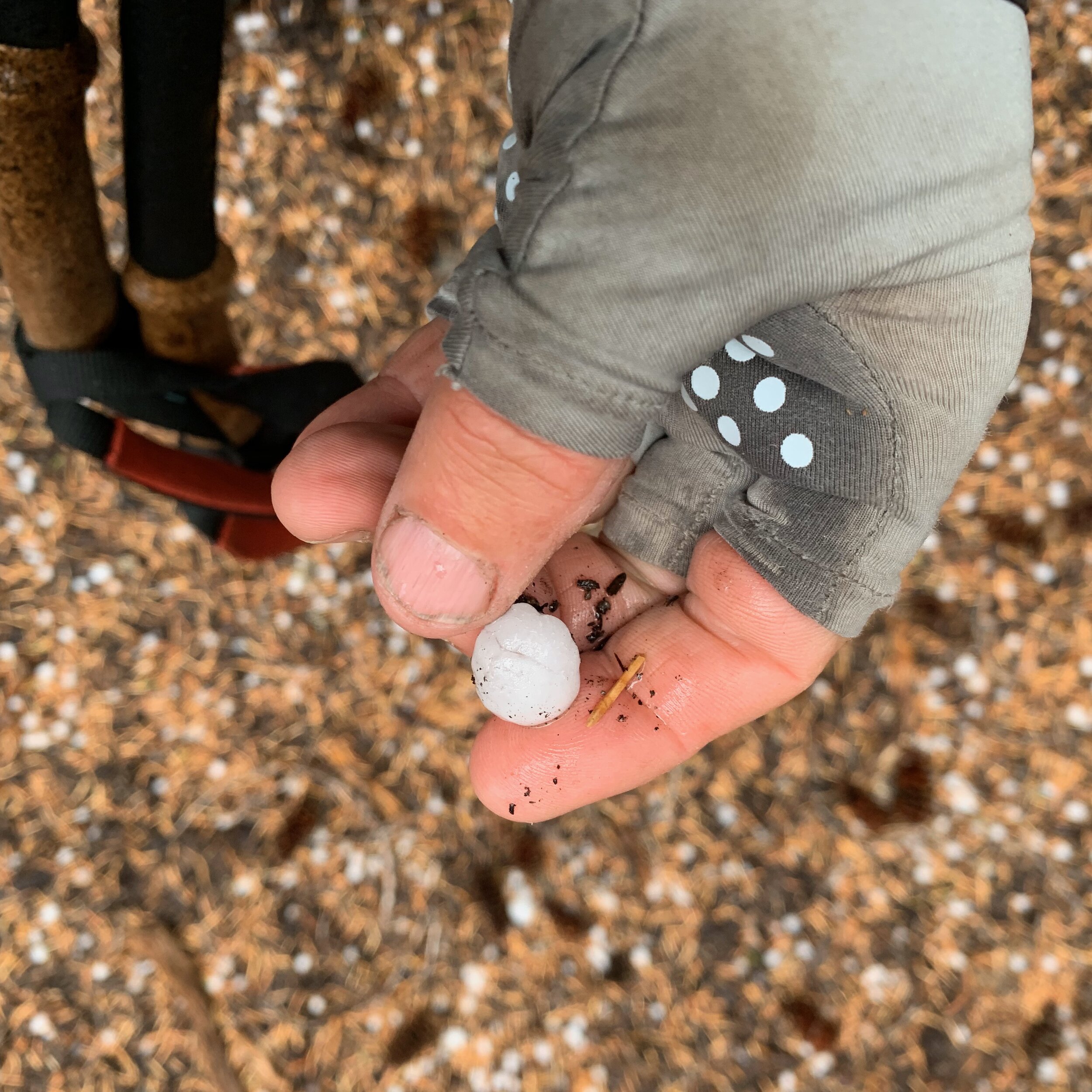
At one point the landscape turned dramatically from green forests to more high desert. Water was extremely scarce and hiking had to be well calculated. Then the weather turned nasty, raining hard, hailing hard and lighting storms along the very ridges I was climbing near Diamond Peak. It was, however, one of the most exhilarating days of my hikes and definitely one of the most photogenic with all the drama. Lighting sparked a few small fires nearby and that was all the forest fire smoke I smelled on my LASH.
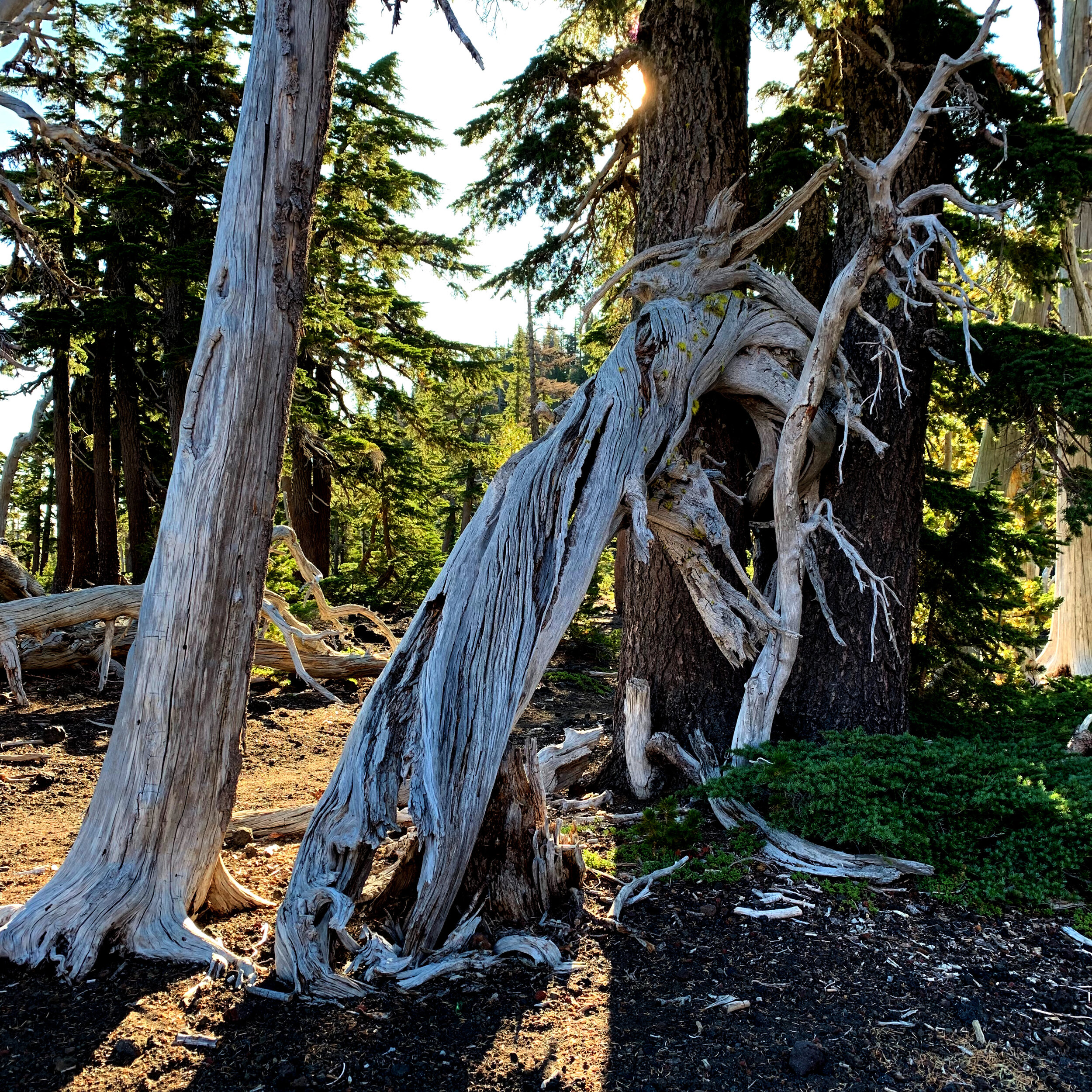
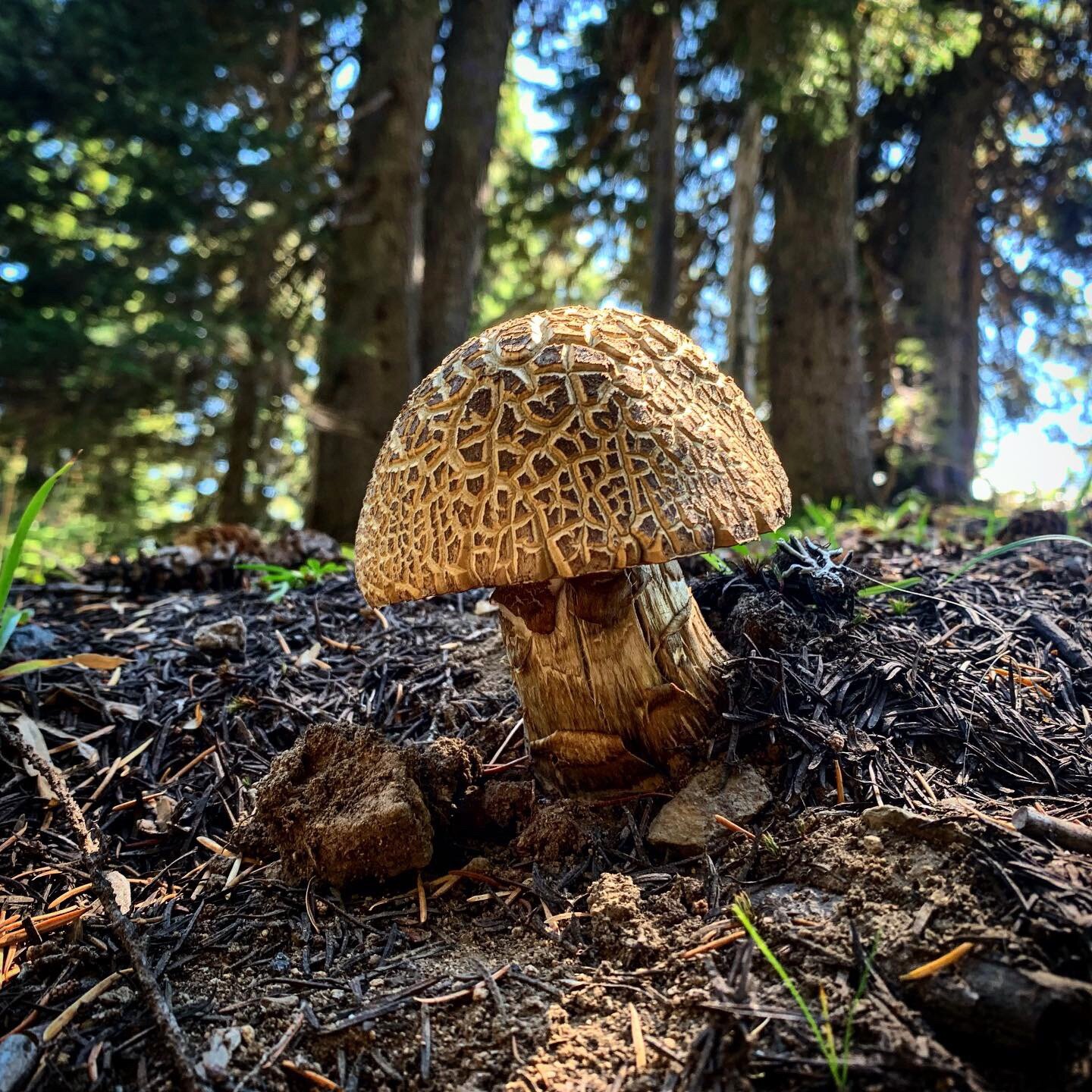
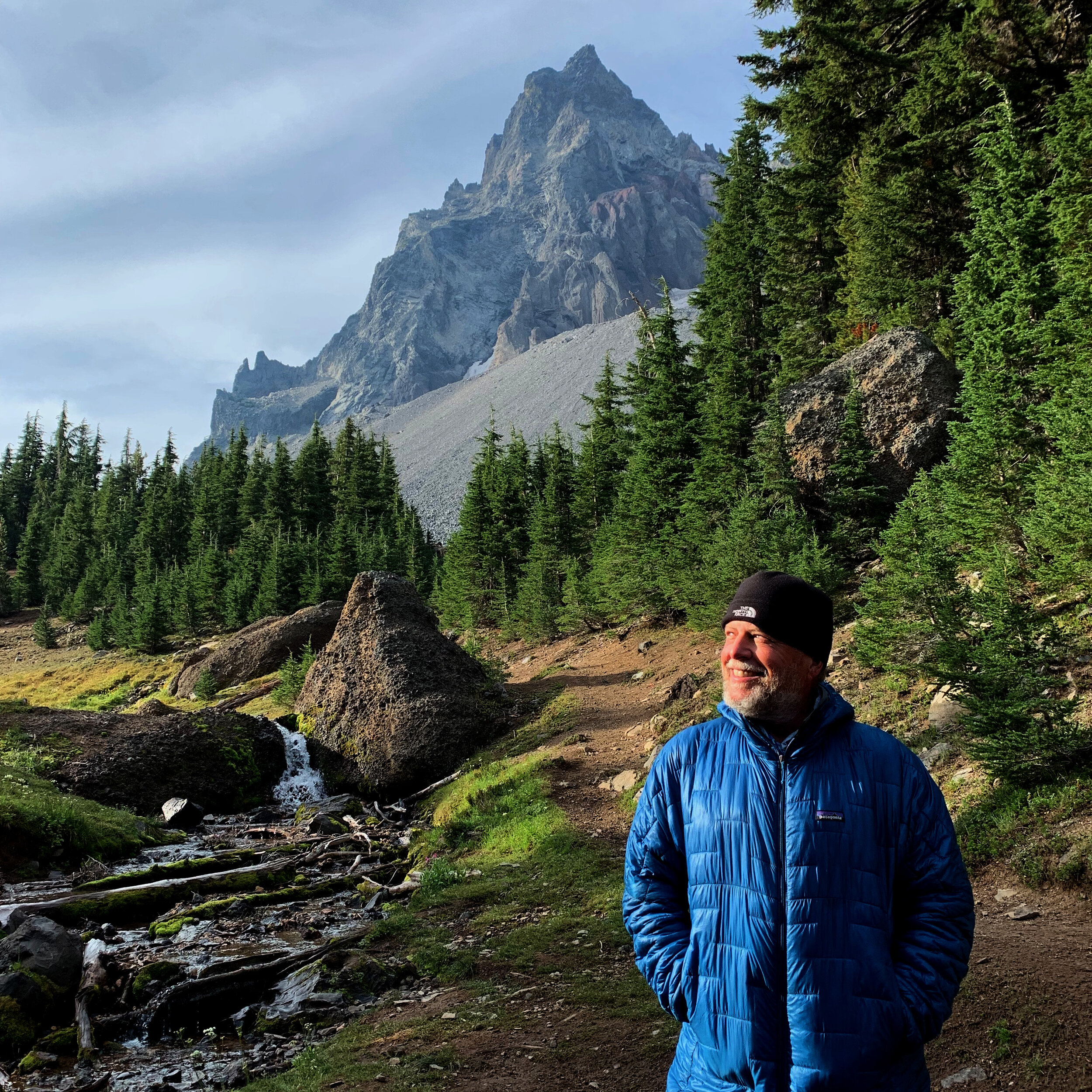
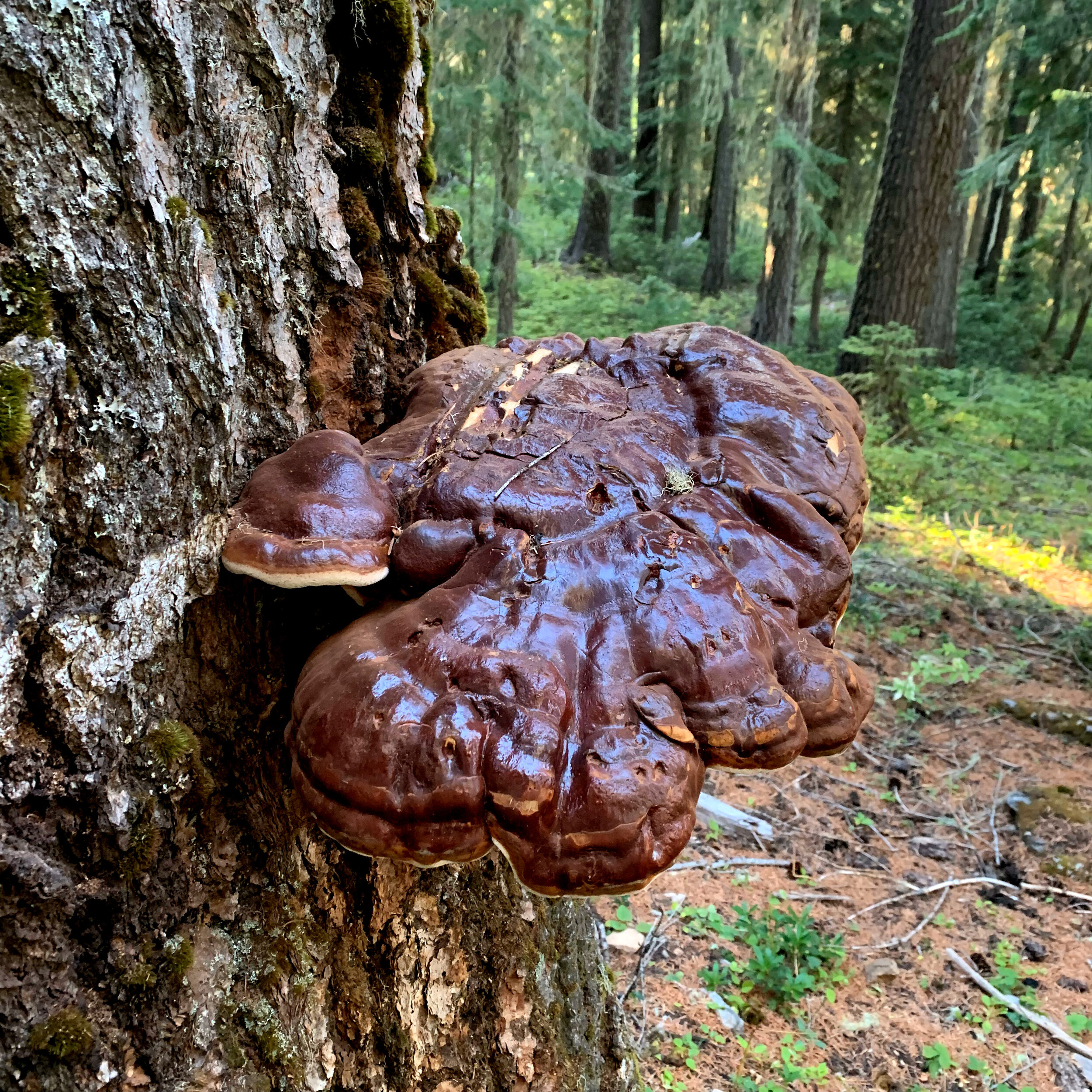
I spent an entire hiking in narrow forest valleys where mushrooms of all types seemed to be all bursting the soil after the rains. That day ended at the base of Mt. Thielsen, the most perfect peak on my hike that year. I paused in the dark to shoot stars over the peak before camping. A fellow hiker accidentally destroyed my 15-minute exposure with his headlamp as he walked into the scene. I was quick to forgive as he went off to find the hard to find in the dark camping spot. The next morning, my camping partner gone, I returned to the base of the mountain where wildflowers and a river accented the sharp peak. Later that day, while enjoying cell service and the other side of Mt. Thielsen, I watched as dozens of day-hikers passed and with out thinking followed their path down the mountain. I learned three miles later that I had taken a wrong trail and had to make it back up the mountain. My mistake caused me to fall far short of the goal of Crater Lake so I chatted up a large group of Austrian and German NOBOs and made a video marking the 2,000 mile of my cumulative PCT miles. I hiked unto dark and camped in a dirt field, setting my alarm to make Crater Lake at dawn.
I got my earliest start ever at 4 a.m. in an effort to make sunrise or earlier at Crater Lake. I was a bit apprehensive at hiking by headlamp in the dark because there were definitely mountain lions in the area and I seldom hiked at night to avoid them. At one point I remarked that I had finally found a definite set of footprints to follow in the lightly snow covered trail. Eventually I realized they were my own footprints and had to recover the half mile where I was turned about.
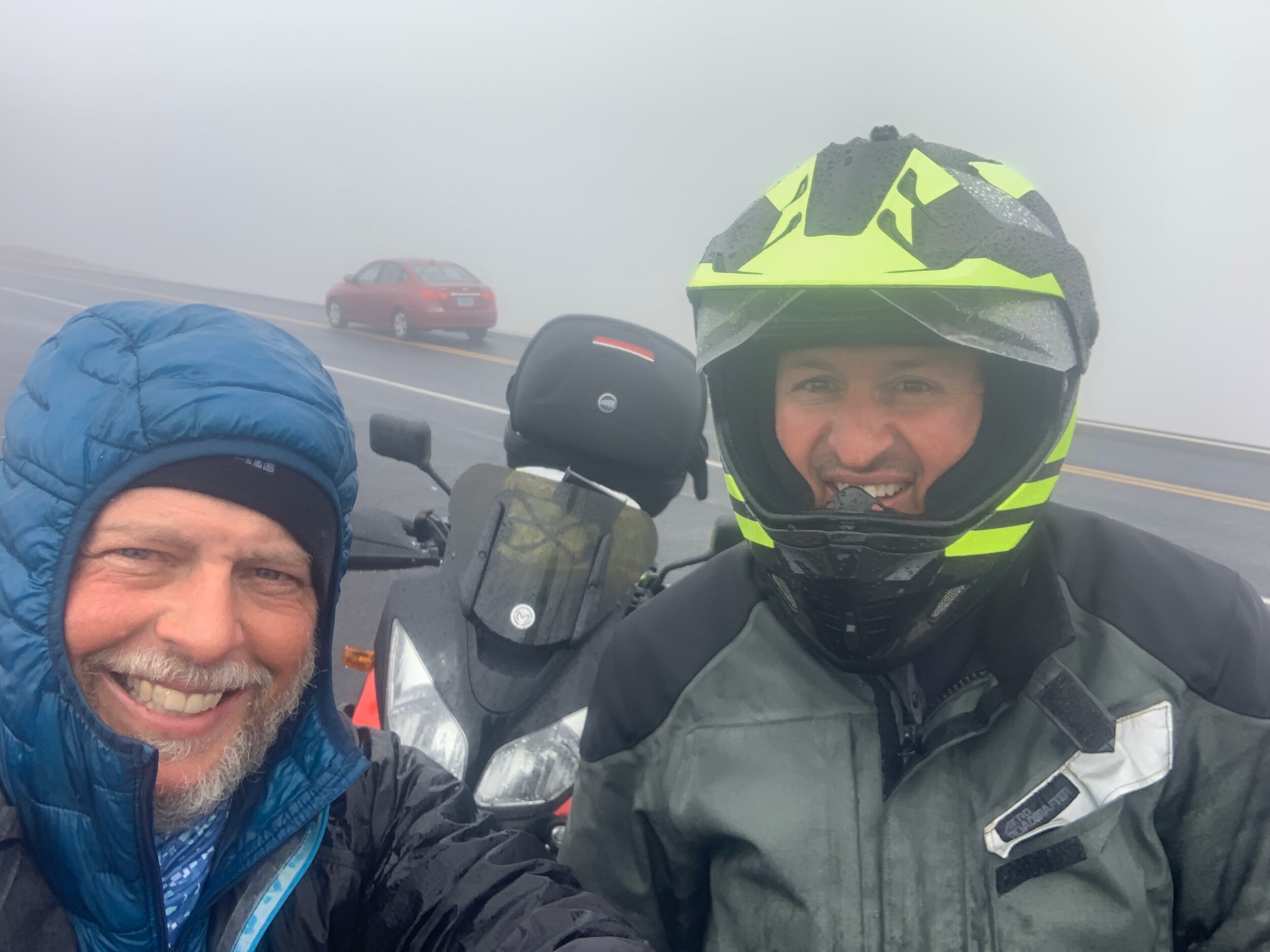
I arrived at the rim of Crater Lake at 6 a.m., in hard sleet and fog. The Lake was not visible and I could tell I was quickly suffering from hypothermia. I got brave and walked up to a motor home in a turn out and knocked on their door, asking for refuge in their passenger seat. They refused my request. So I headed to the next turn out where I managed to get a ride into Mazama Village from a nice guy named Forest from Seattle. While sorting out my resupply and laundry I was debating whether I was going to go back to hike those missing miles. I’ve never skipped a section. An adventurous motorcyclist name Richard Hasse and a fellow SOBO named Moonfire and I discussed this. The final decision was to leave the pack with the camp store, catch a ride in the rain from Hasse ( before he continued onto Atlanta) and hike back.
It was still freezing on the Crater Rim Trail. After a harrowing ride on the back of Hasse’ motorcycle, I began whittling down the 11miles back to Mazama Village. As I hiked, I was bemoaning the fact that the lake was fogged over. Then then then. While I was noticing a blue tinge below me, God just opened the heavens and revealed the entire lake to me. And then He threw in a rainbow. I have learned that His timing is not my timing and he is very generous. That was one of the finest days on trail and I was singing out loud as God peeled back the clouds.
Back in Mazama Village I endured a cold rainy night in the PCT group campsite and was tempted to sleep instead in the camp laundry room with three hikers who chose that option. I had a few nice meals with fellow hikers, in particular with Juke Box, who commented that he though he and I were the cabooses on the NOBO and SOBO trains. He was indeed right, as a few months later, he was literally the last thru-hiker to cross into Canada in heavy snow conditions. Speaking of snow, there were reports it would snow in Crater Lake the next day so I packed out fairly early after breakfast with Juke Box.













September 9 -14 / 102 Miles
Crater Lake to Ashland
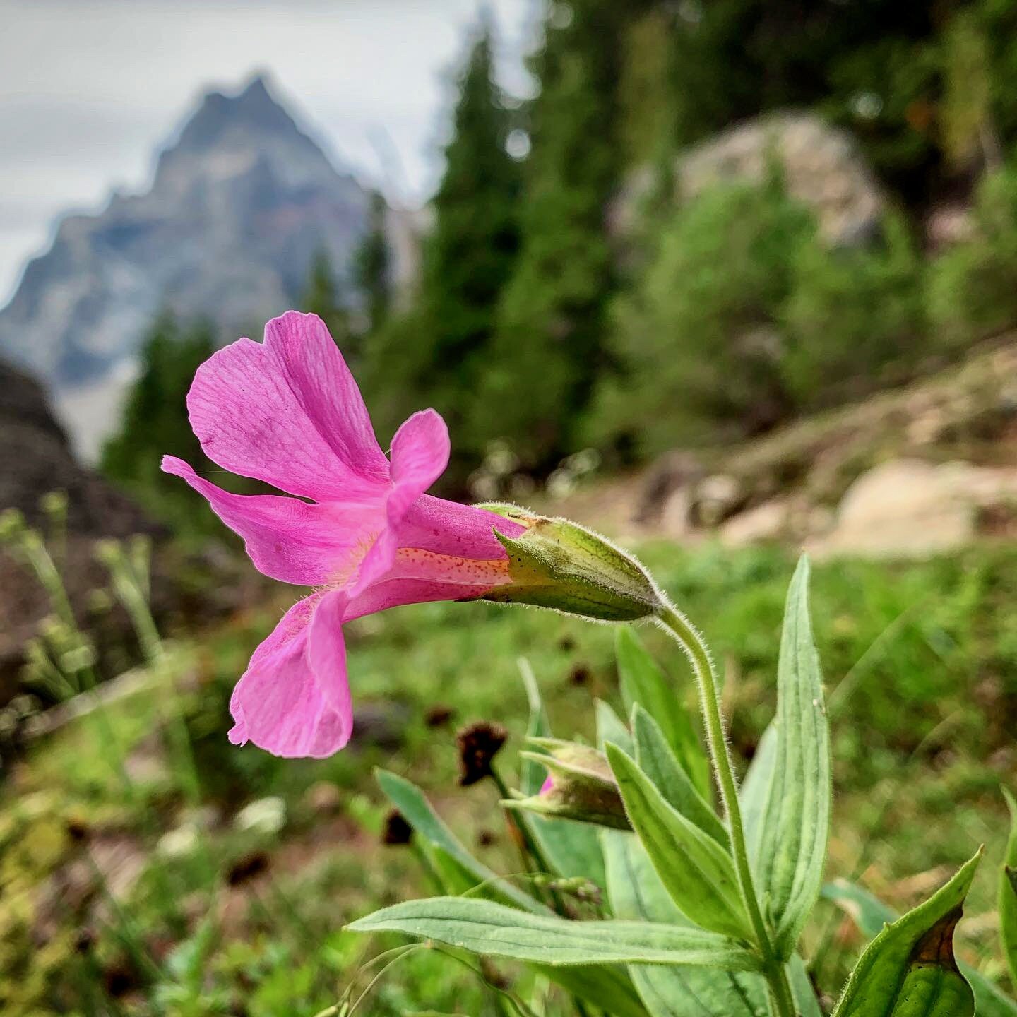
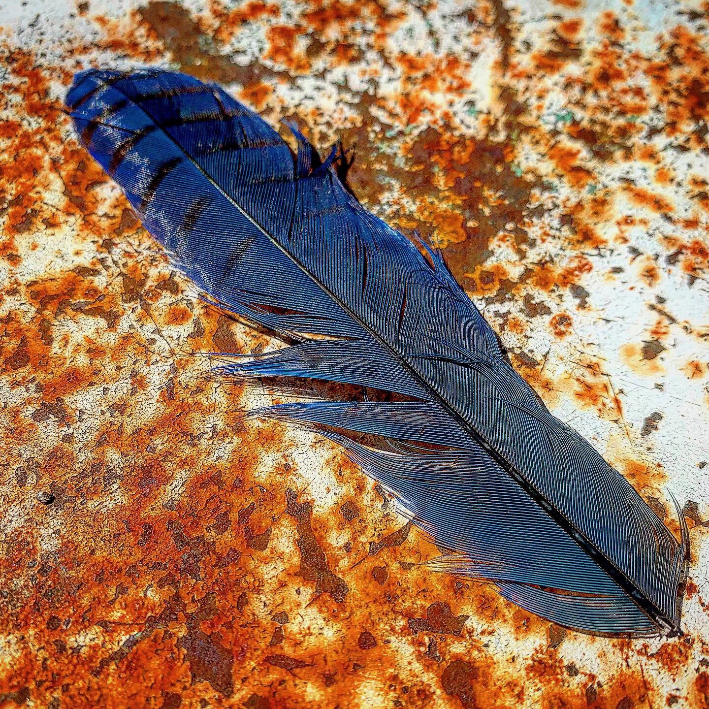
As I left Crater Lake, I made quick miles on fairly level ground before heading into a large burn area that took up most of the day. There, on the trail I spied a bright blue feather. After photographing it, with my pack on, I stood up and lost my balance. I had fallen once in Oregon and did my best to regain my balance, but in doing so I seemed to twist my ankle. with little choice I decided to walk it off. the next day I hiked in heavy rain over Devil’s Pass and the pain of my ankle had moved to my lower shin and was increasing.
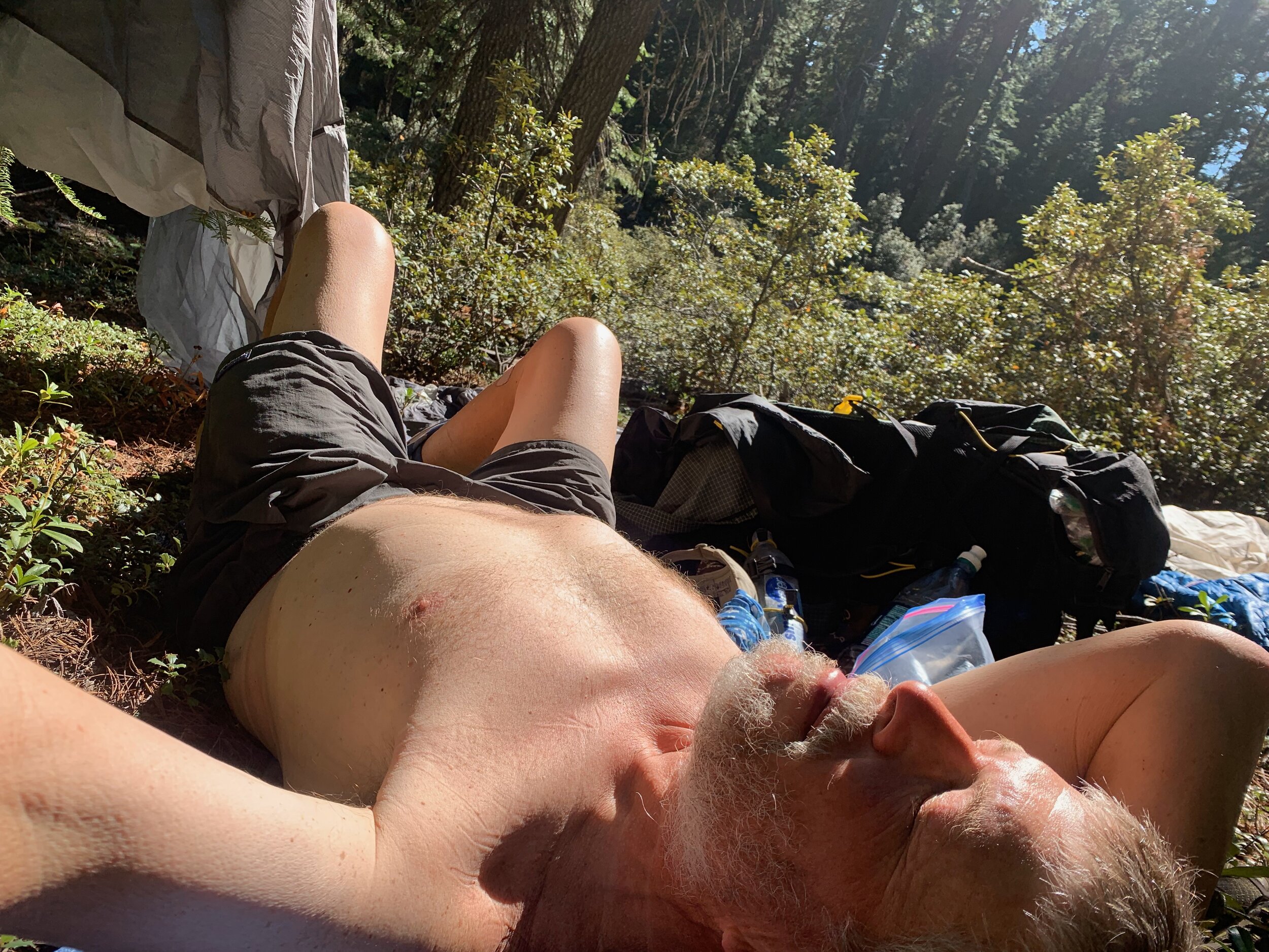
I remember asking friends to pray for my sore shin and for it to stop raining. It stop raining 10 minutes after my facebook prayer request but the shin still hurt. I was in a truly unique landscape; a combination of burned forest, dried grass fields, a return of volcanic rock trails. The rocks made hiking painful but I found I had less pain on advil and hiking uphill, so I looked forward to the climbs. It did rain again and I luxuriated in the sunshine one day, throwing all my gear out and sunbathing.
It was on this section that I seemed to be the only SOBO left except for a couple of young men who had flipped and were headed toward Ashland to flip back to the Sierra. In all my hiking experiences I had never met hikers that crossed my path repeatedly without the courtesy if a break conversation often no eye contact. As a therapist I began to analyze this pair and try to figure out how they could be so unsociable in such a remote section of the trail. they always seemed to be “crushing” miles, but I was amused they passed me at least four times in the section, because somehow even at my slow pace I was getting farther then them each day. I slept outside a cabin one night, where tow friendly German hikers were sleeping on the platforms. The guys cruised into the campsite that night, grunted my way, chatted up the girls, then proceeded to talk loudly for the next two hours to themselves. Fortunately I was listening to a good book. Oh well, after that section I pretty much hiked alone. I did have a few cool long conversations with some NOBO’s before arriving in Ashland.
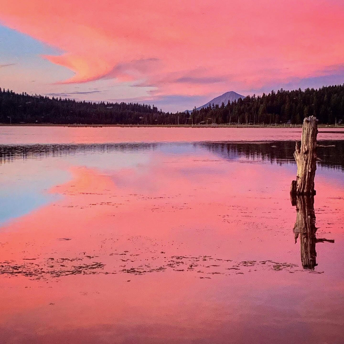
The last night on trail I aimed for a BLM land horse camp on Hyatt Reservoir that had been recommended to me by a NOBO. Indeed I hobbled in at dusk and found a large campground with picnic tables and a pit toilet, deserted. As I turned to set up my tent, I turned toward the setting sun and saw the the pinkest sunset I have every seen. Needless to say I spent the next 45 minutes photographing the fading light and deer running on the lakeshore. A picnic table is a true luxury on trail and made cooking mac and cheese in the dark a cinch. The sunrise the next morning also delayed me for an hour due to photography.
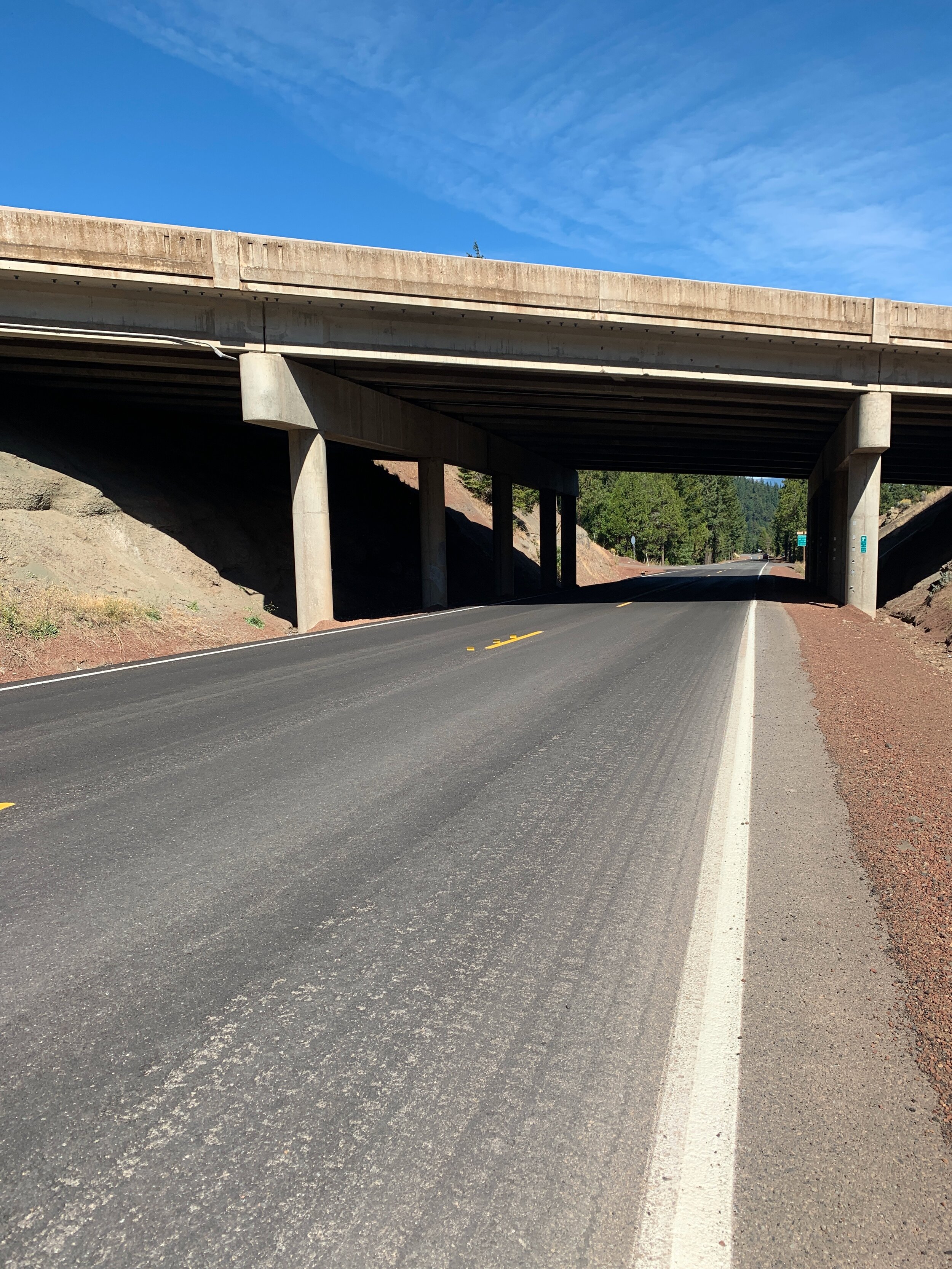
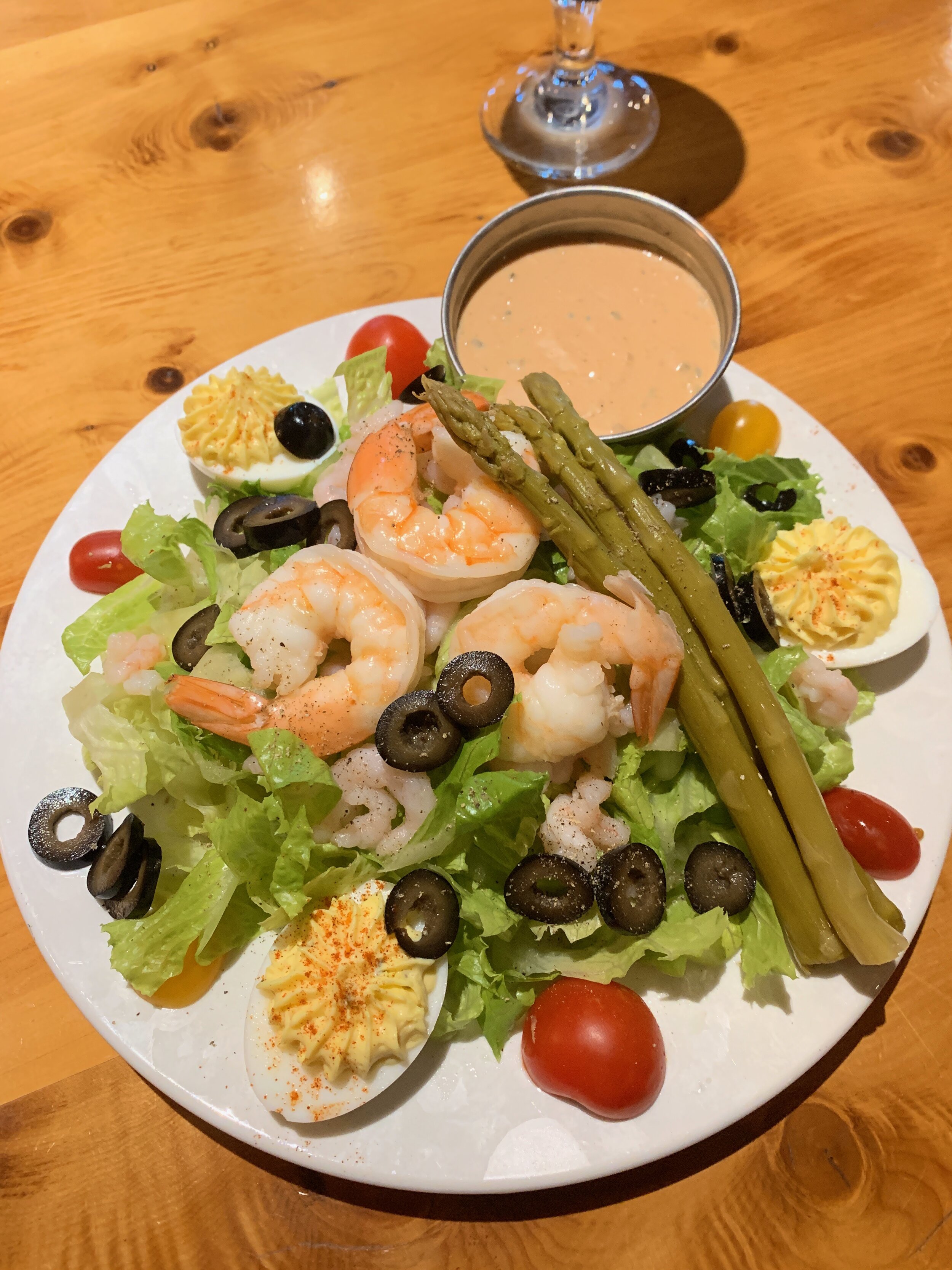
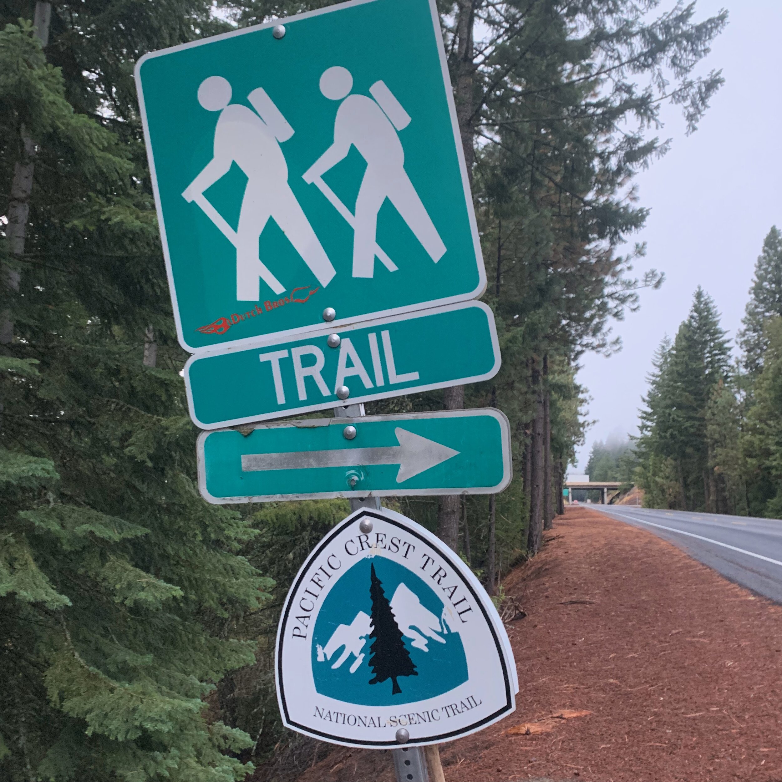
The final day I painfully descended to Interstate 5 at Callahans Lodge. Literally limping down the frontage road, I called my wife Carole and had her book me two extra nights at the lodge so I could rest my shin. I arrived to the greatest hotel staff, who booked me, at a great discount, into a room with a whirlpool. The staff found my resupply box, which included my California Flag for my crossing into my native state in the next few days. I stayed for a double “zero”, eating in their excellent restaurant and raiding their gift shop of Snicker bars. I spent my days icing my shin and listening to music and a book. I did fear that if my shin didn't heal, my hike was over. Several friends with long distance running experience coached me and we narrowed the injury down to a torn shin muscle. Dozens of people told me they were praying for me and it’s likely moe than a hundred people were at this point. After two days I took a pretty pain free walk around the lodge and prepared to head out the next morning.

















September 17-21 / 60 Miles
Ashland to Seiad Valley
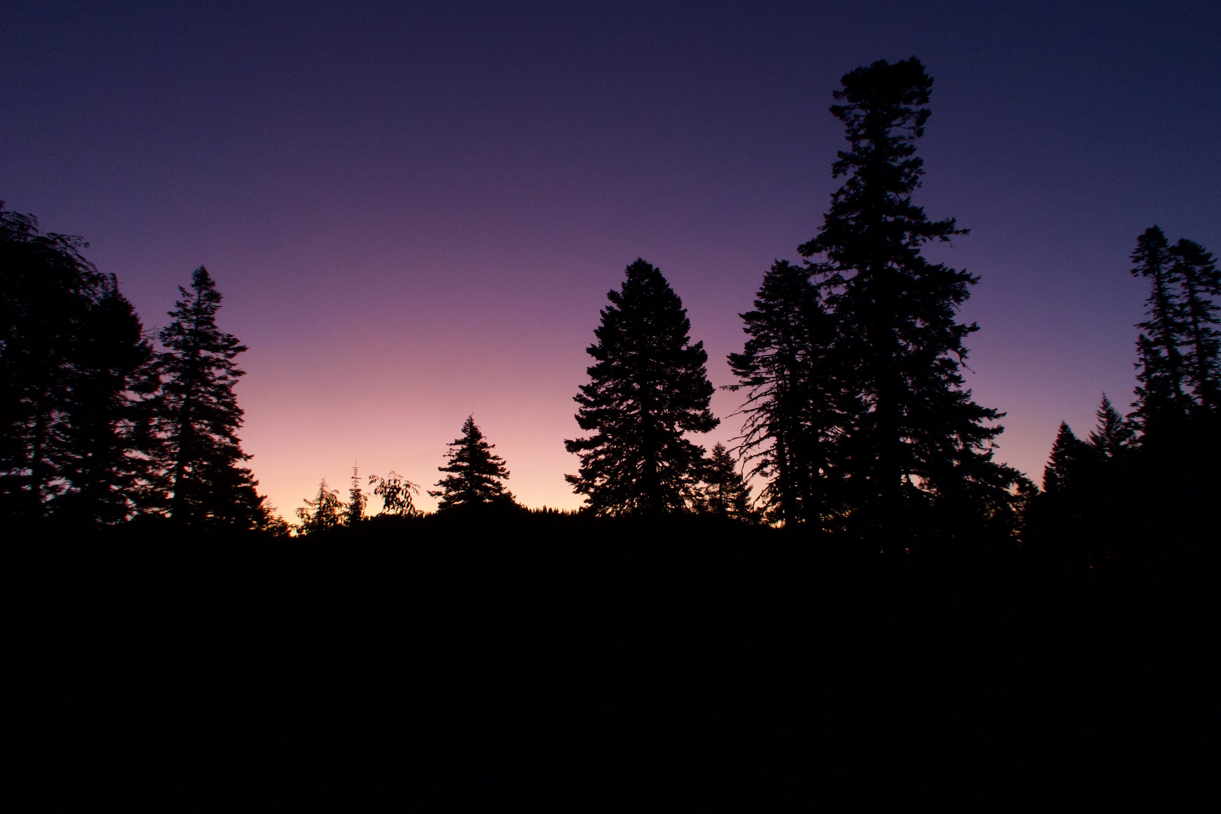
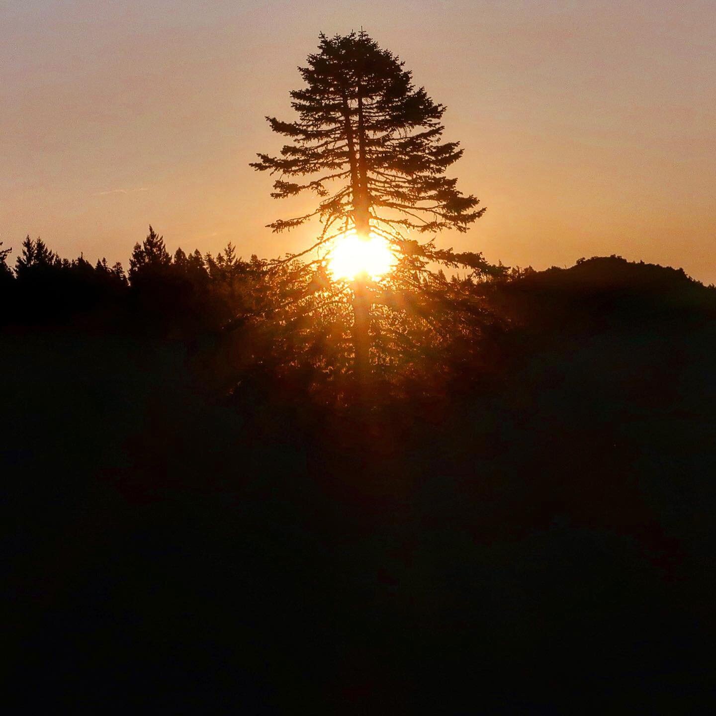
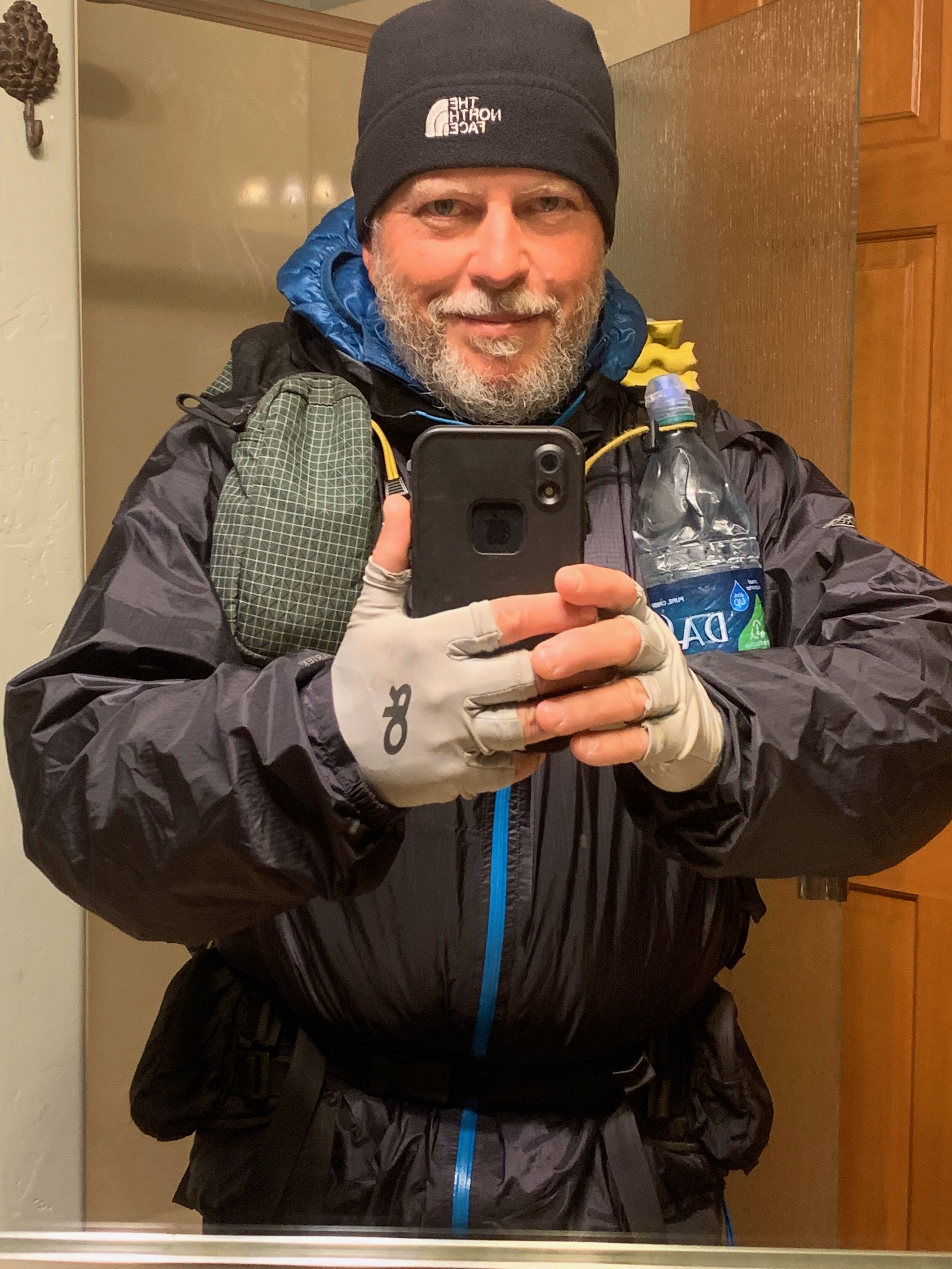
I left Callahan’s Lodge in Ashland on on a freezing cold day, wearing all my layers. In the parking lot, the sunrise was spectacular! I hiked all day in freezing rain and was shocked, when the fog rolled away that there was plenty of color to be had in the fields. This section was a test for me. It was 60 miles to Seiad Valley and my shin wasn't completely healed. I pushed the first few days though because making it to the California border was a psychological need for me. If I had to quit, at least I’d make to to the final state of my hike.
It rained most of those first two day and despite my cautiousness, I couldn't help but get soaked. when I reached the border, I pulled out my California flag and took a bunch of happy selfies. I enjoyed the moment thoroughly but it was still raining and then my damaged shin started to ache. I had run into a couple of NOBO’s, giving it up for the year when the arrived in Ashland, who shared with me that there was a rustic cabin just a few miles south of the border if I needed it. I made a beeline for the cabin.
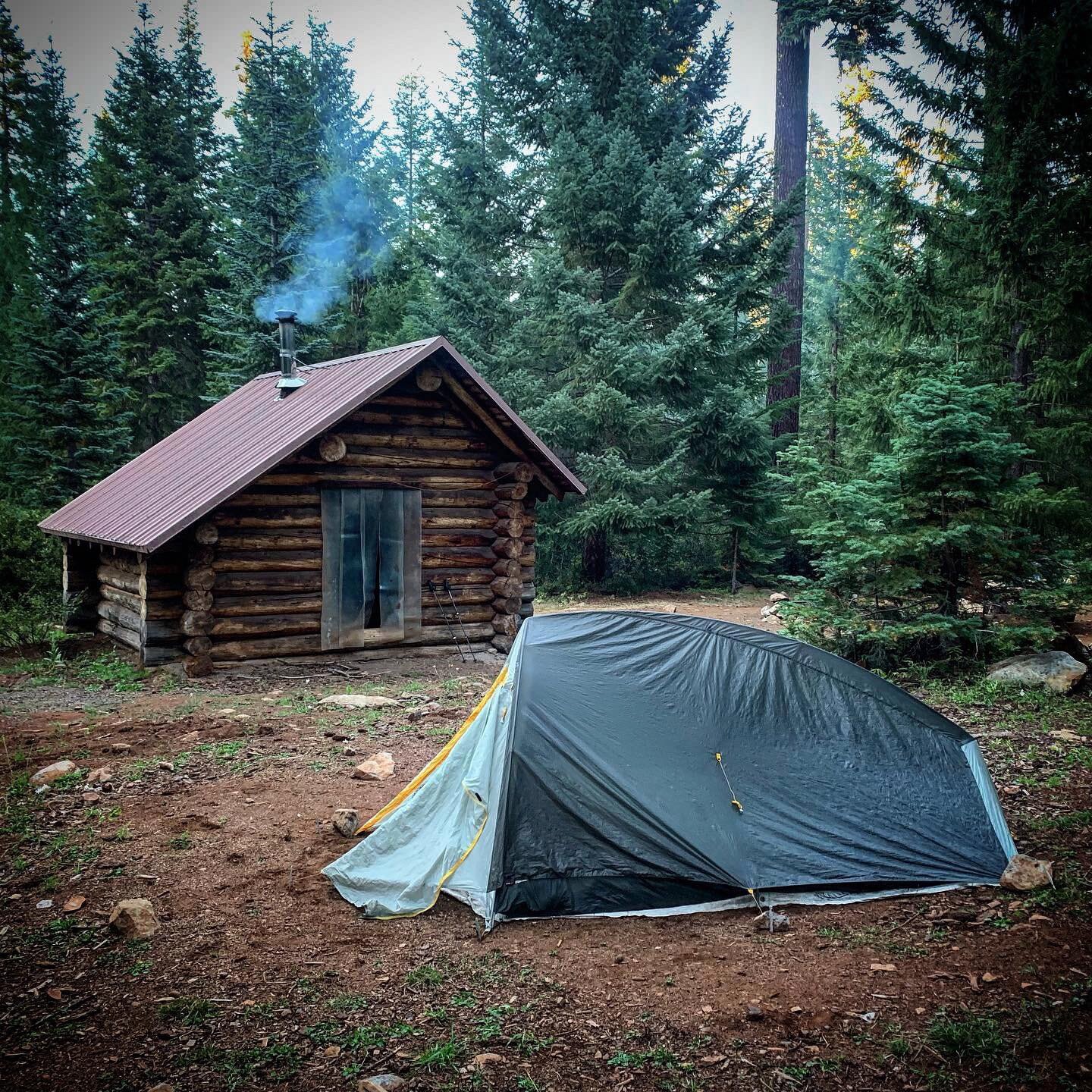
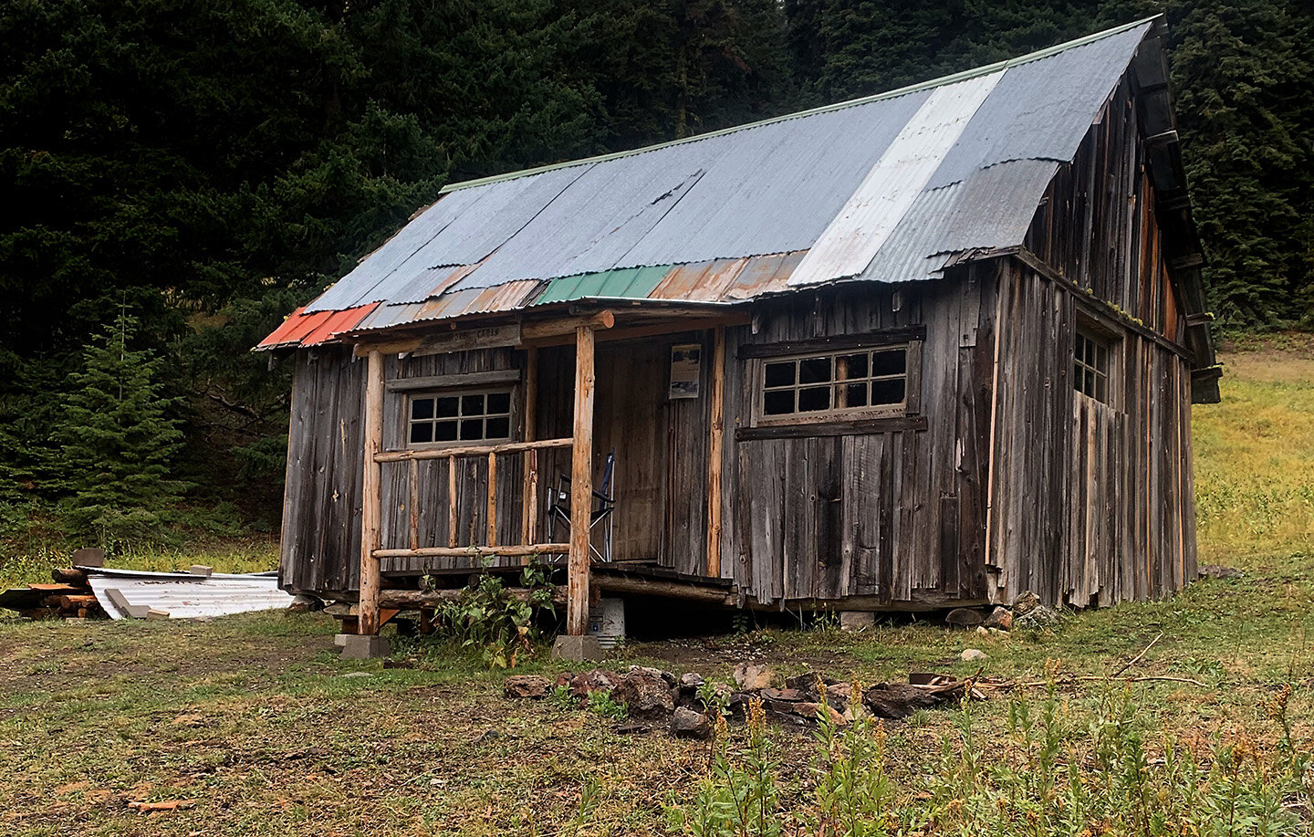
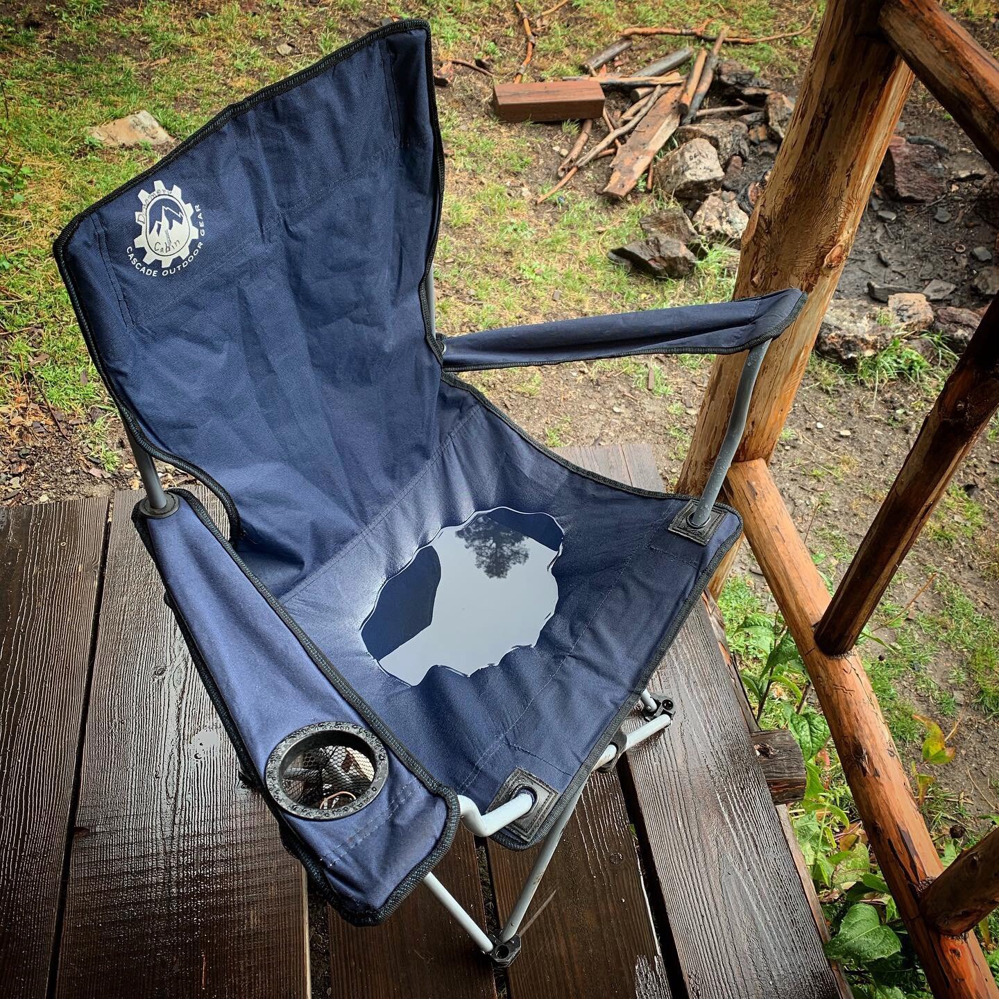
The cabin, more a shack, looked like the opening scene from the Beverly Hillbillies, but the Donomore Cabin was a life saver. I stepped inside just before the first hard rain and realized how cold I was. I considered hiking on but the rain persisted, pounding the cabin’s tin roof. The cabin built in 1935 by stockmen has been renovated by the Offenbacher family and friends to be a refuge for them and hundreds of hikers a year. I set up my quilt on the provided cot at 4pm and listened to Rachel Held Evans read her book “Looking For Sunday” as storm after storm pounded the roof.
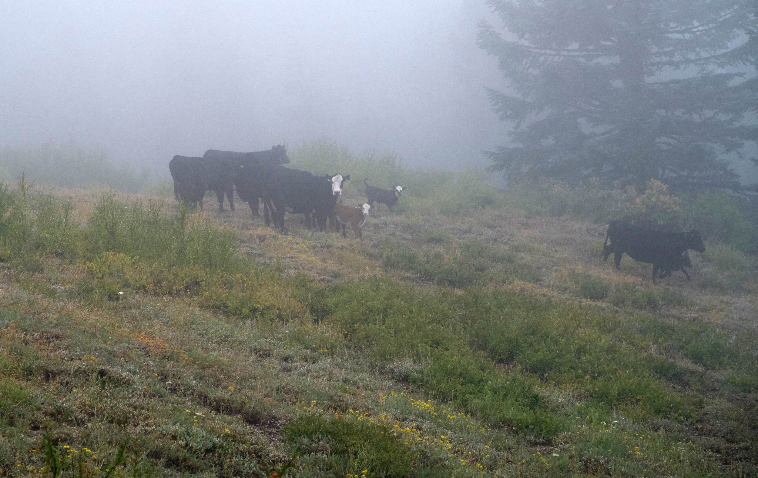
At one point, lots of racket outside caught my attention and I called out that the front door was open. I was talking to a cow. He later startled me with a great big bellow. Other creatures ran about under the floor boards. I finished my night playing Sudoku and listening to my favorite choral music (Rutter and the Cambridge Singers, Faure’s Requim, “Magnum Mysterium”). At dawn more cows bellowed and deer grazed nearby. I had a great sense of gratitude as I thought about the fragile nature of my body (tendon ached, head cold developing) and how far I’ve come with the help of so many kind people (my wife Carole the greatest support a man could have on this crazy journey). I wondered if I could really finish these last 500 miles given my physical state and weather challenges. A few of my biggest supporters had suggested at this time that I quit. I decided that was not a decision to make now. Just move on when able.
How I moved! I picked up the pace and my ankle seemed to heal. I remember receiving news that a friend, who had a life threatening blot clot, had received news that our prayers had been answered and he was going to live. I used that joy to practically run up a mountain and found myself on my knees at the top praying out my thankfulness.
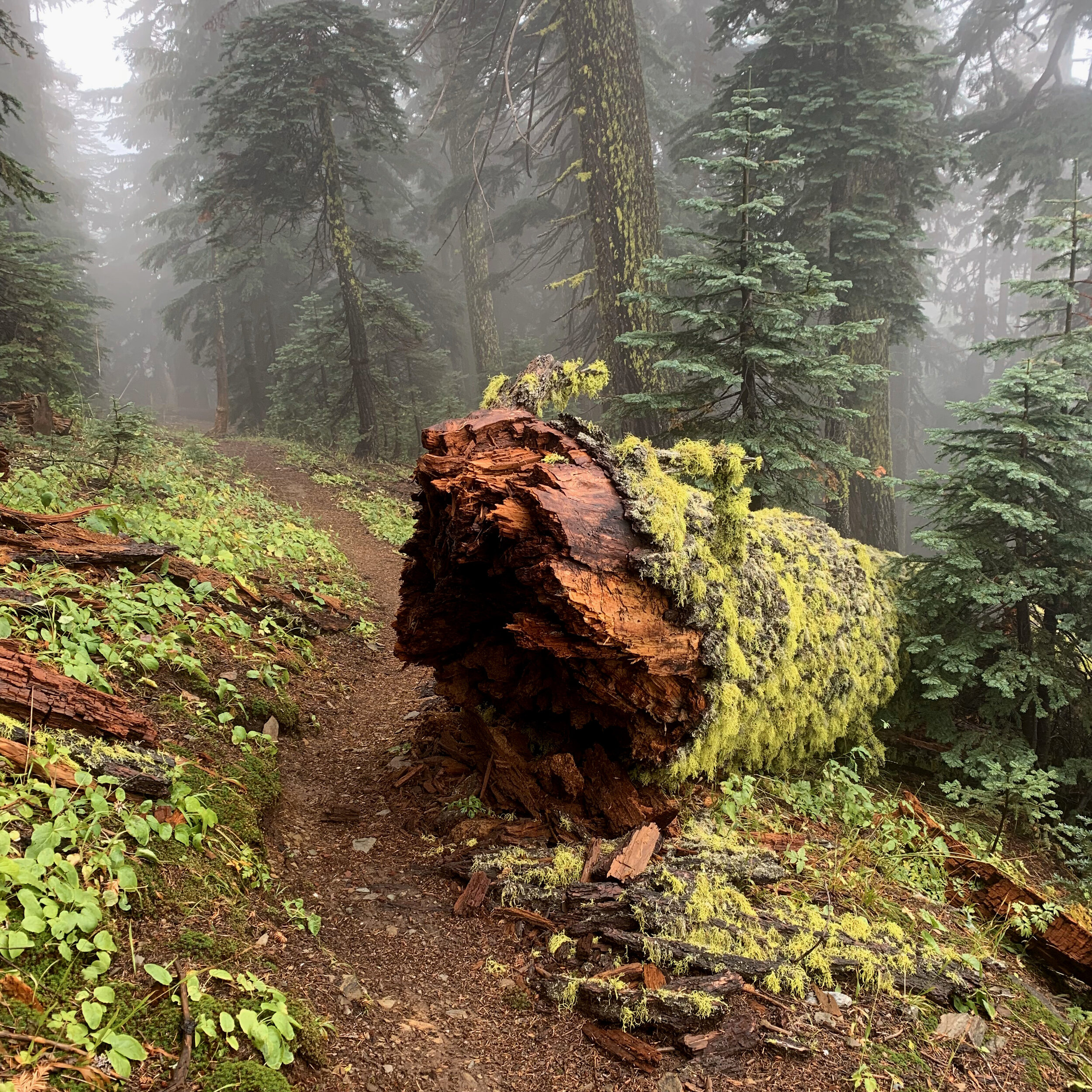
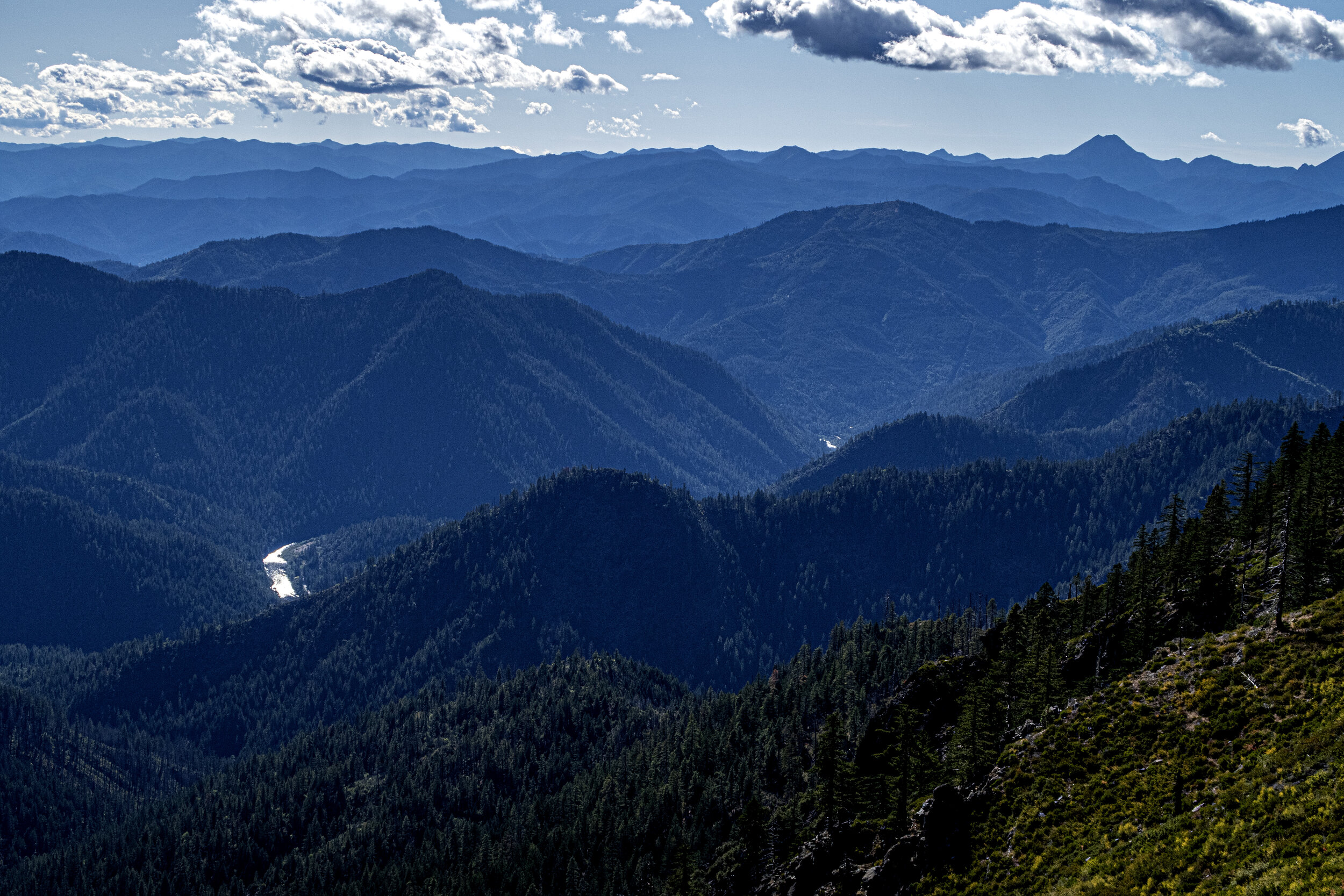
Mt. Shasta began to appear to the east and became my companion for the next two days. I met one hiker a day at this point, always heading north. Eventually I climbed the last ridge and looked down into the town of Seiad Valley and the shimmering Klamath River. The descent was one of the most brutal experiences of my trek. The trail, unmaintained for a few years, was over grown and constantly scratched my legs and arms. I remember cursing a lot and forgoing my classical music for loud Led Zeppelin. Late in the day I walked into town thoroughly exhausted but delighted my shin had not erupted in pain.
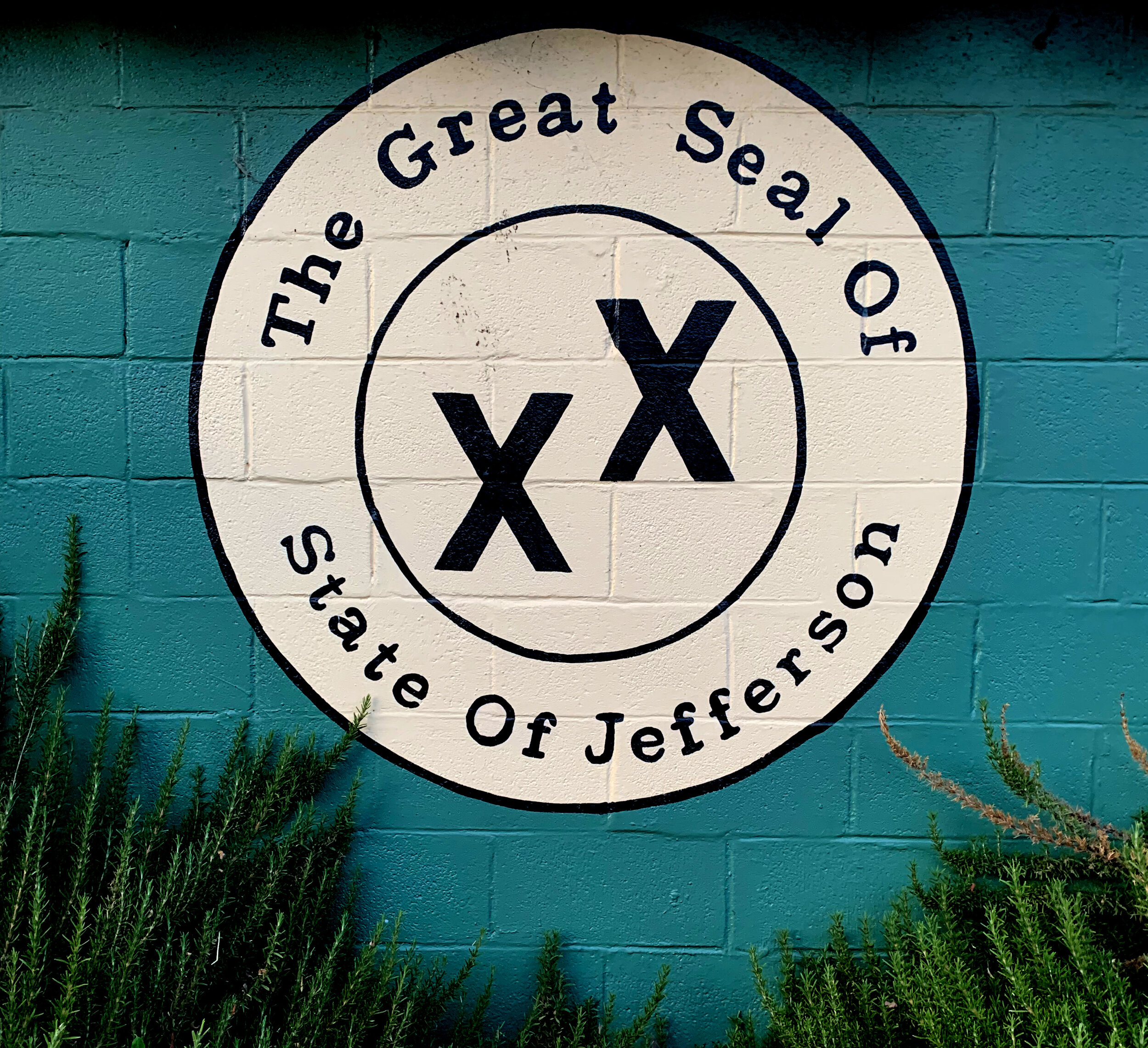
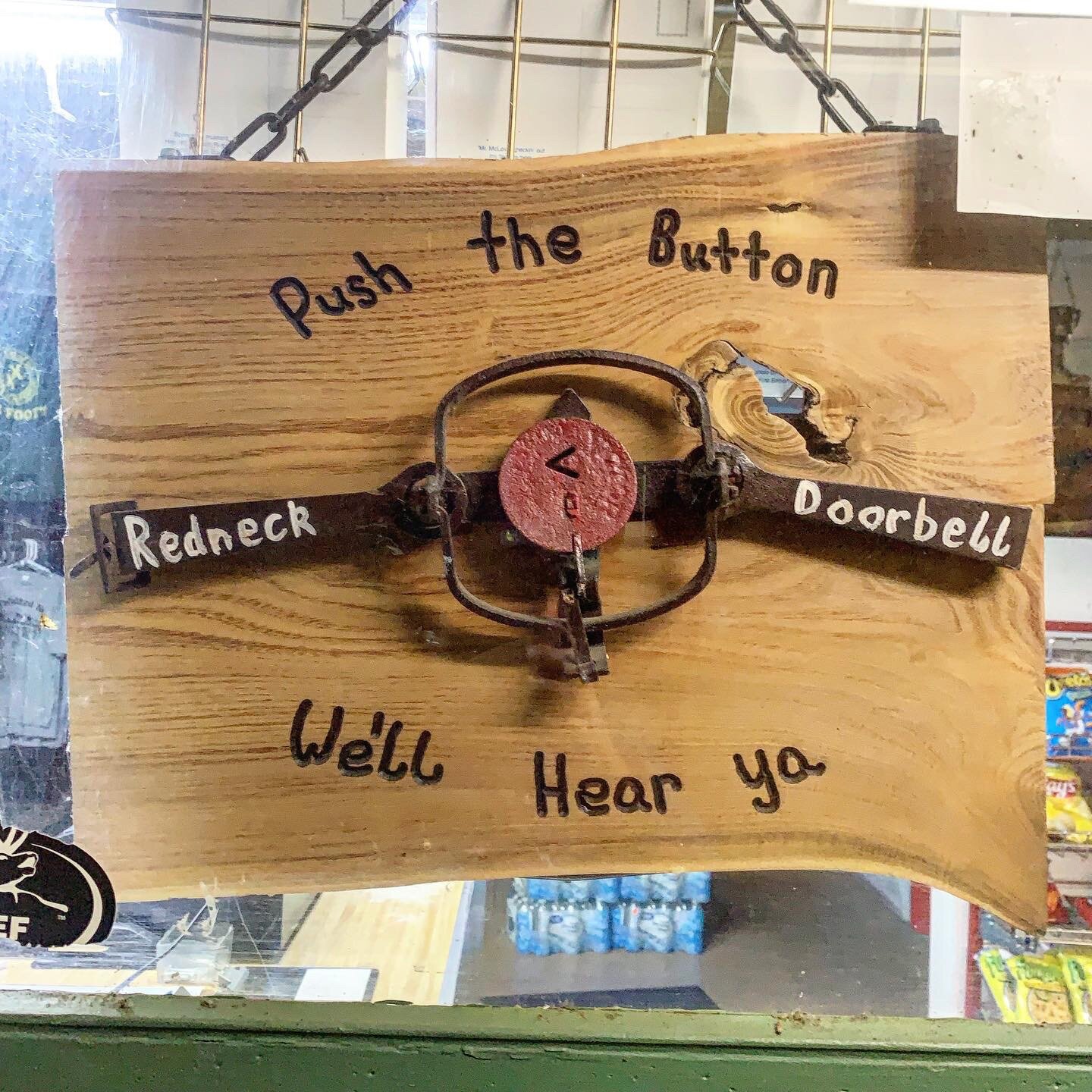
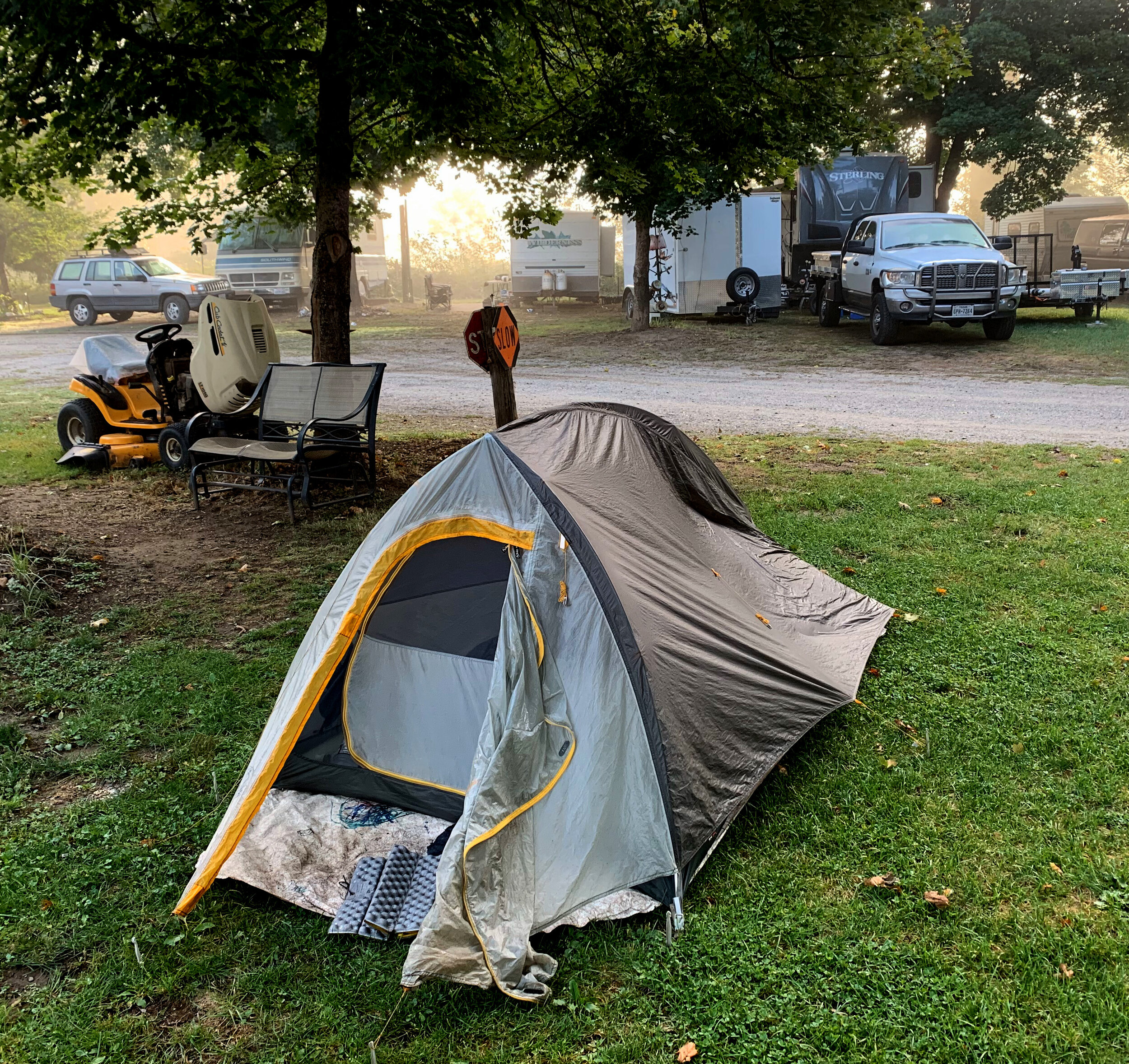
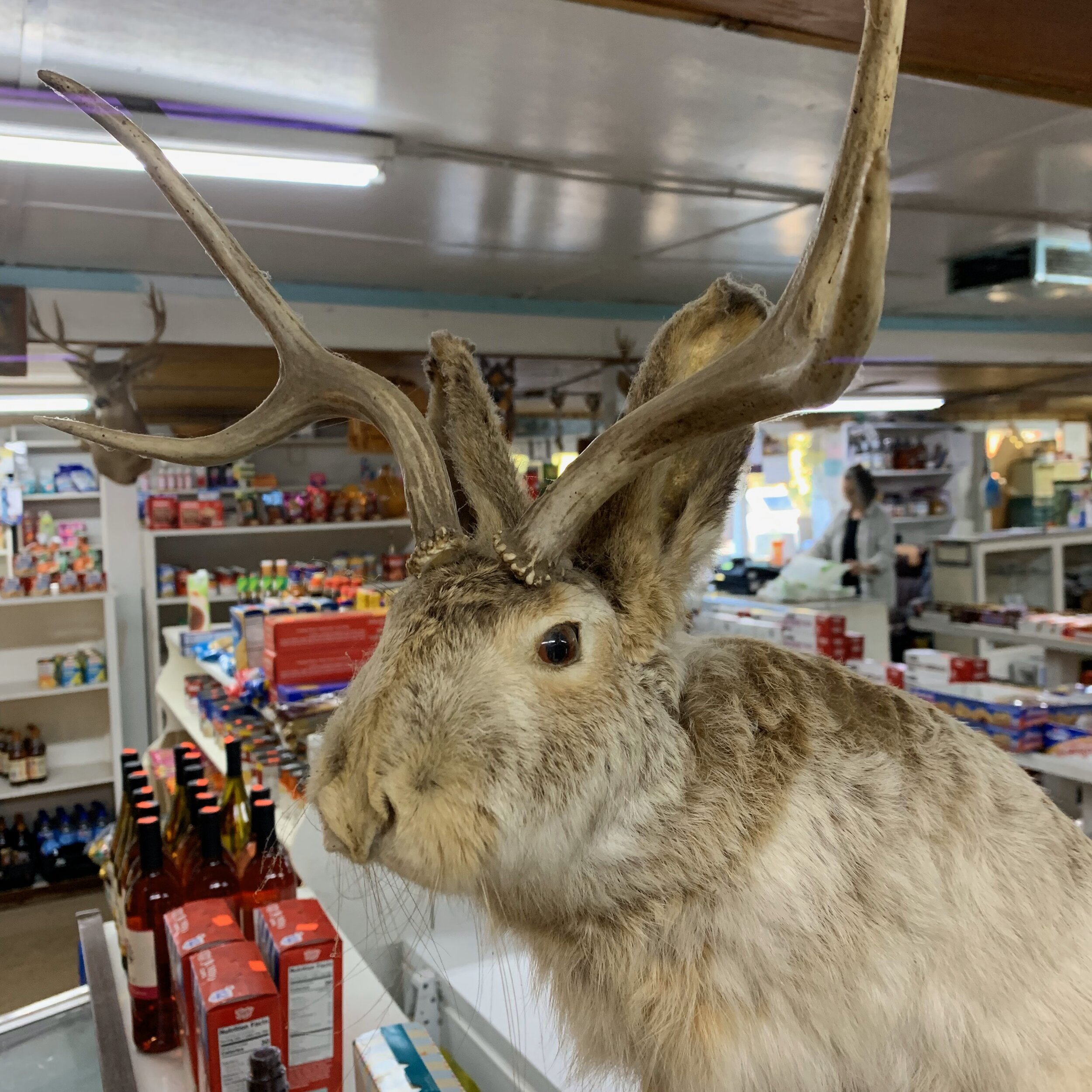
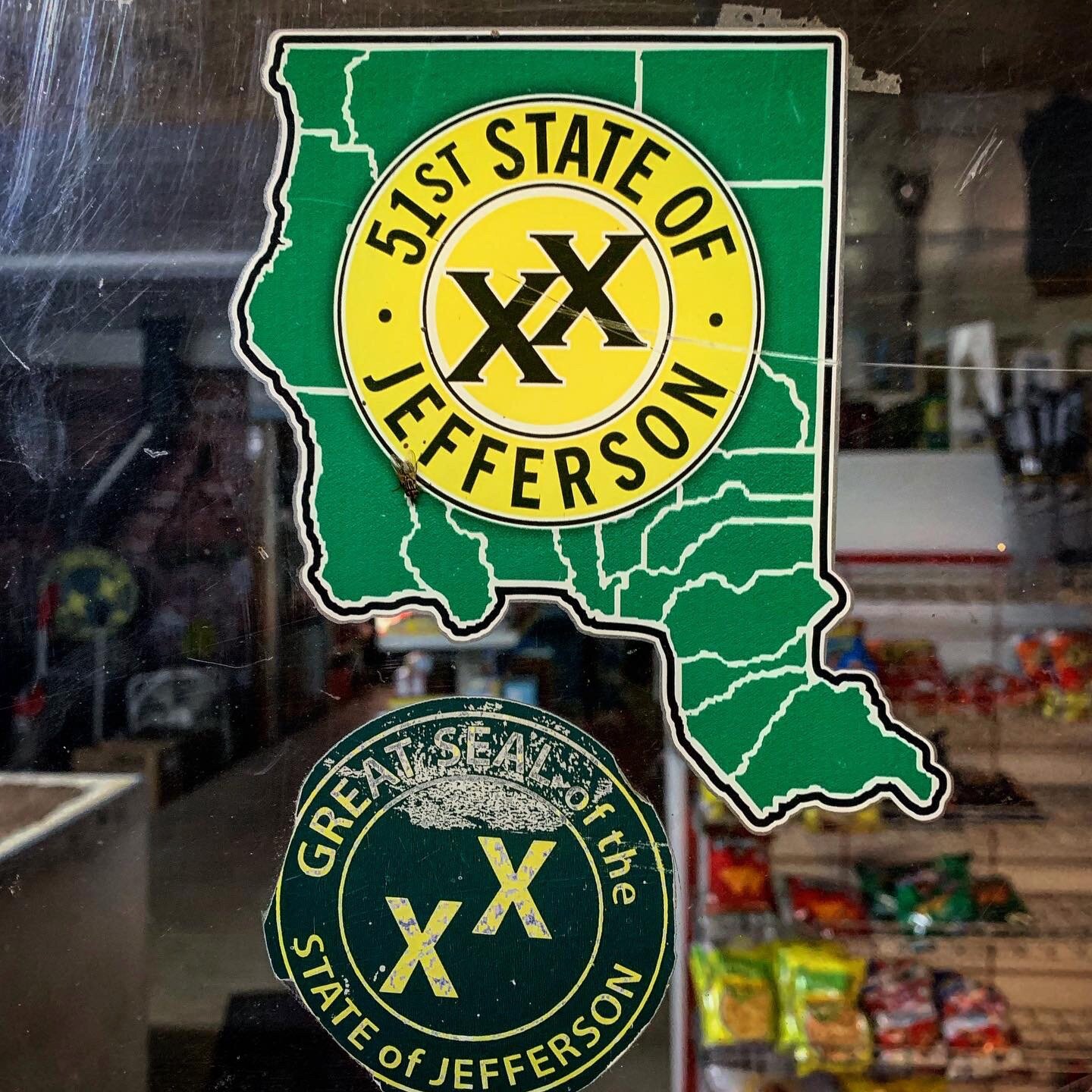
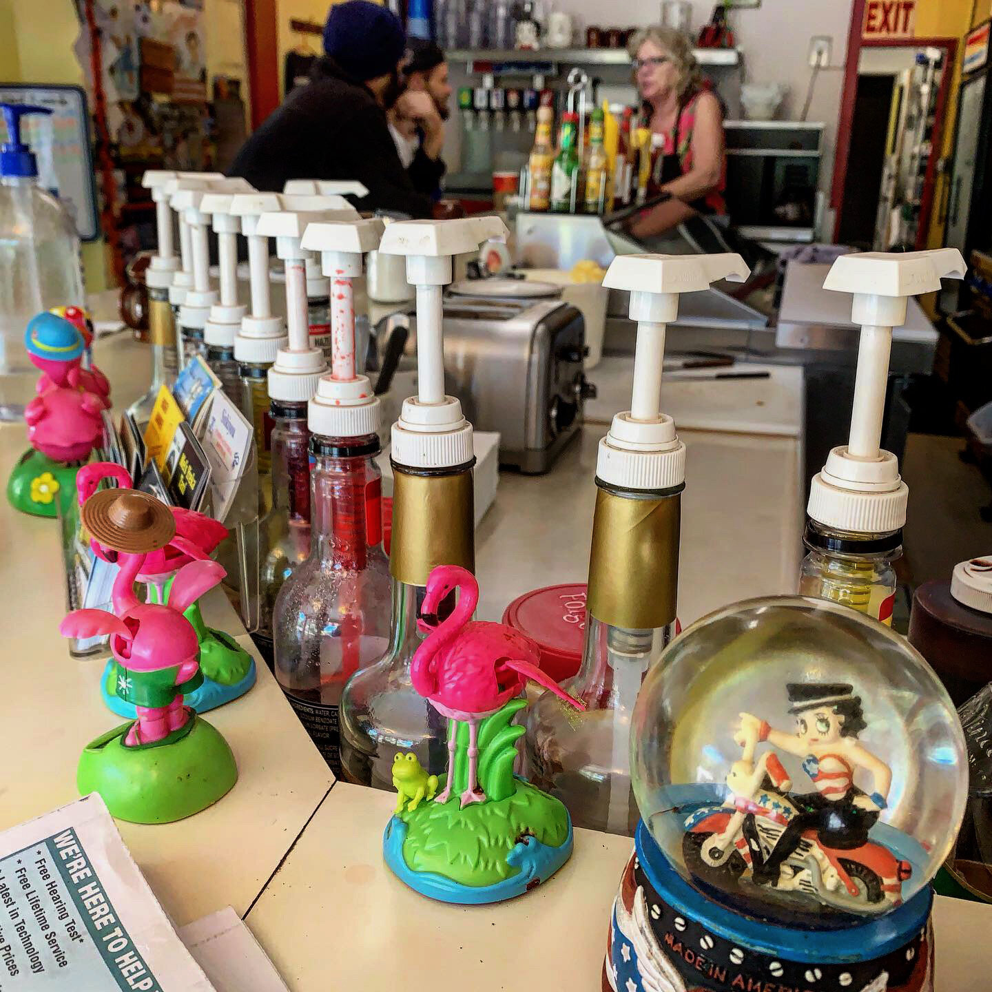
I stowed away my California flag as I entered into the State of Jefferson, where local spoke of creating their own state with complete seriousness. There was a humorous side to it all too, but it was not the place to discuss politics. Instead, I showered and did laundry before pitching my tent in the town mobile home park. The residents and manager were delightful. The next morning I gorged at the store and diner. I didn’t leave town until I’d eaten lunch and stuffed my pack with all sorts of amazing food.
I had survived my lowest emotional point and my spirits were revived. There were still over 400 miles to go and the weather continued to chill as fall set in, but I was born again and ready for just about anything, determined to push to the end.
















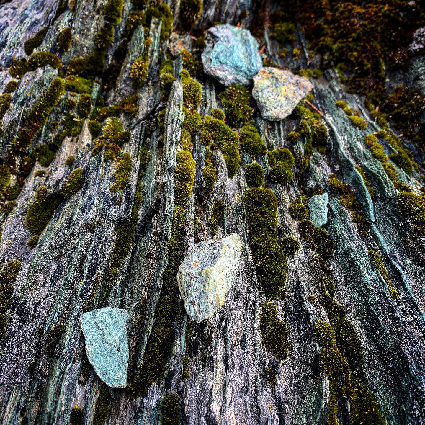


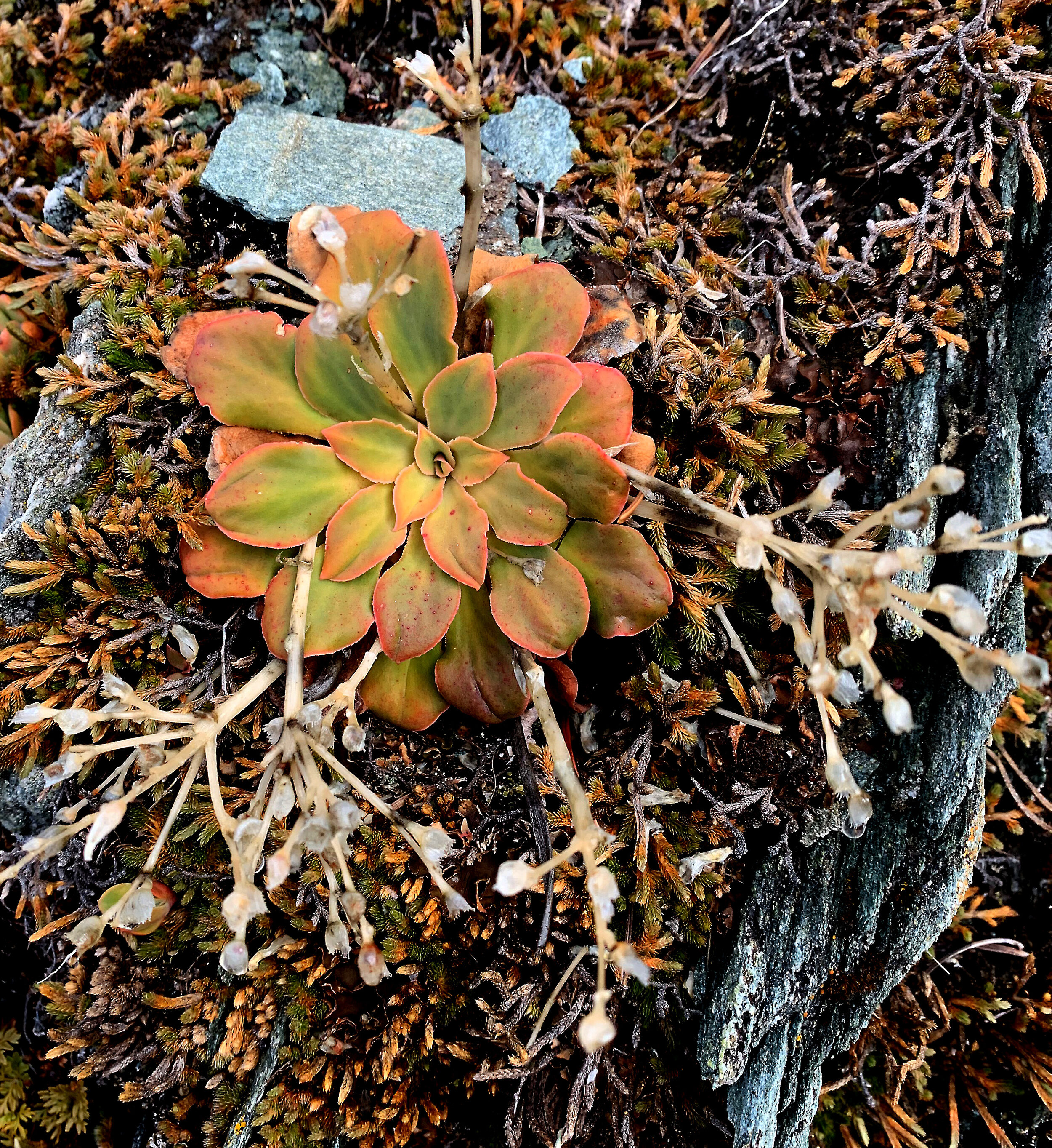

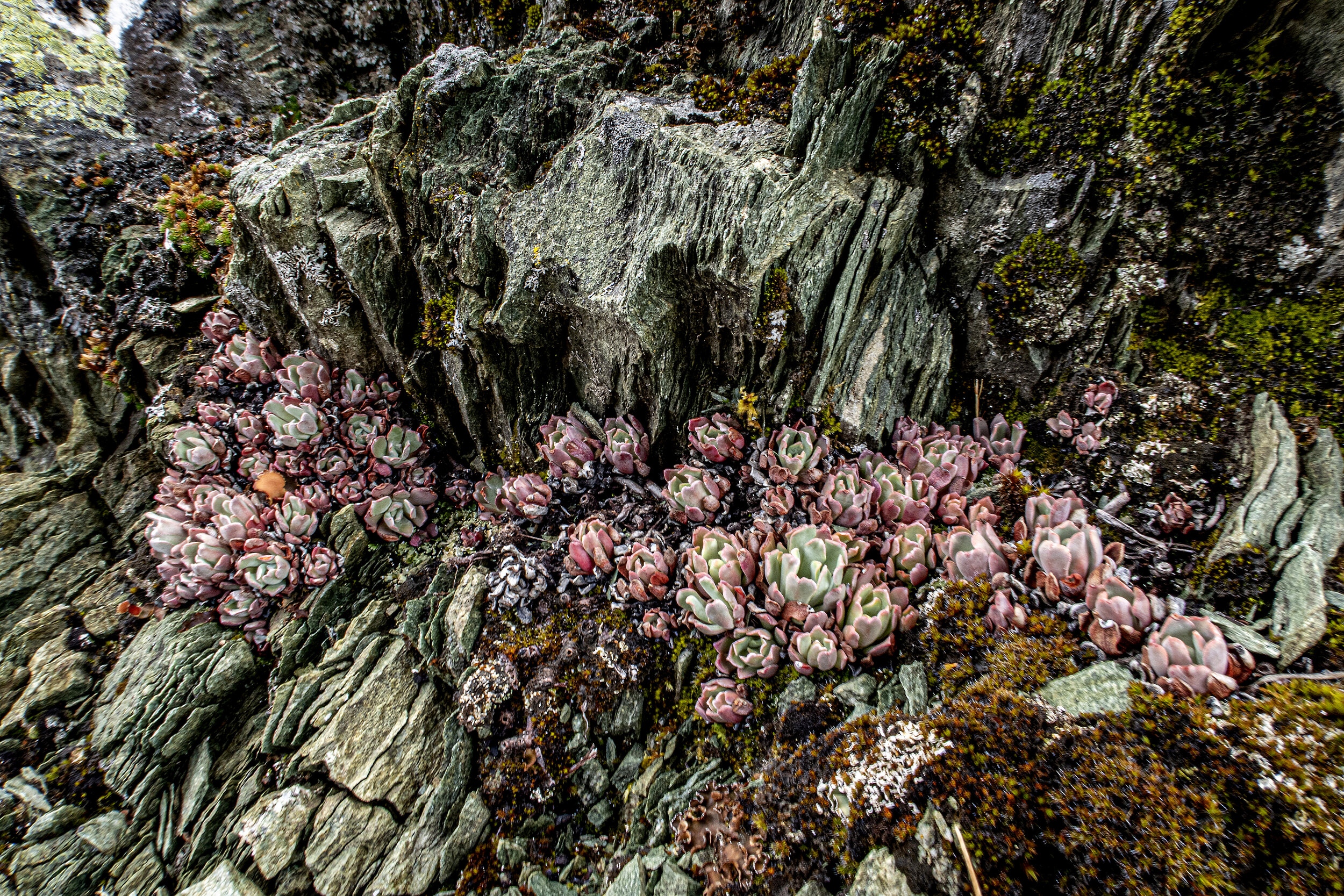


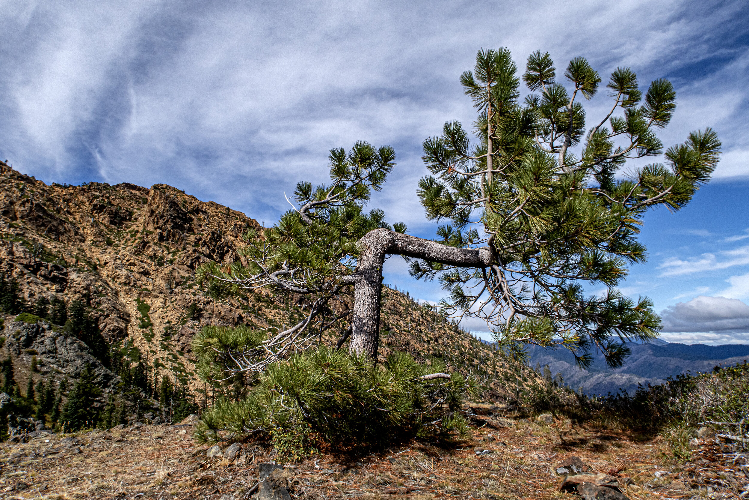





September 22-24 / 57 miles
Seiad Valley to Etna
I left town in the evening after resupplying and stuffing myself, twice, at Seiad Valley Cafe. The longest road walk of the PCT, 7 miles, took me across the Klamath River, through a neighborhood of barking dogs and plenty of anti-California, pro-State of Jefferson signs. I arrived at a campground at dusk, where I spent some time sitting around a campfire with a large family group of deer hunters. They were easily amazed at how thru-hiking works.
The next was a day I’d been mentally preparing for, for months. It turned out to be a rather straightforward and boring long day. Climbing 7,226 feet over the course of 20 miles was simply a steady uphill climb on a rainy day. It was a cloudy and foggy day so there wasn’t much to see. I remember being bitten on the butt by an ant that left a welt for a week. It was a sudden sharp pain that had me flailing and slapping my butt to kill whatever had caused the sting.
Later that day, I stopped at a spring to tank up and was hailed by an encampment of deer hunters. They offered me bacon freshly cooked on a skillet in their fire. A buck’s severed head sat on a tree nearby with its tongue lolling. I was not raised in hunting culture but tried my best to be accepting of their generations long culture, so I just kept my eyes off the dead animal they were so proud of.
I set up camp at Paradise Lake just in time to shelter from another downpour. The fading light was very pleasing but the lake didn’t live up to my idea of “paradise”. I had a fresh resupply and my Snickers bar was a bit closer to Nirvana. The next morning golden light kept me shooting reflections on the still lake and raindrops along the trail. I chatted with a few deer hunters during the day as clouds rolled up the slopes of the Marble Mountains.
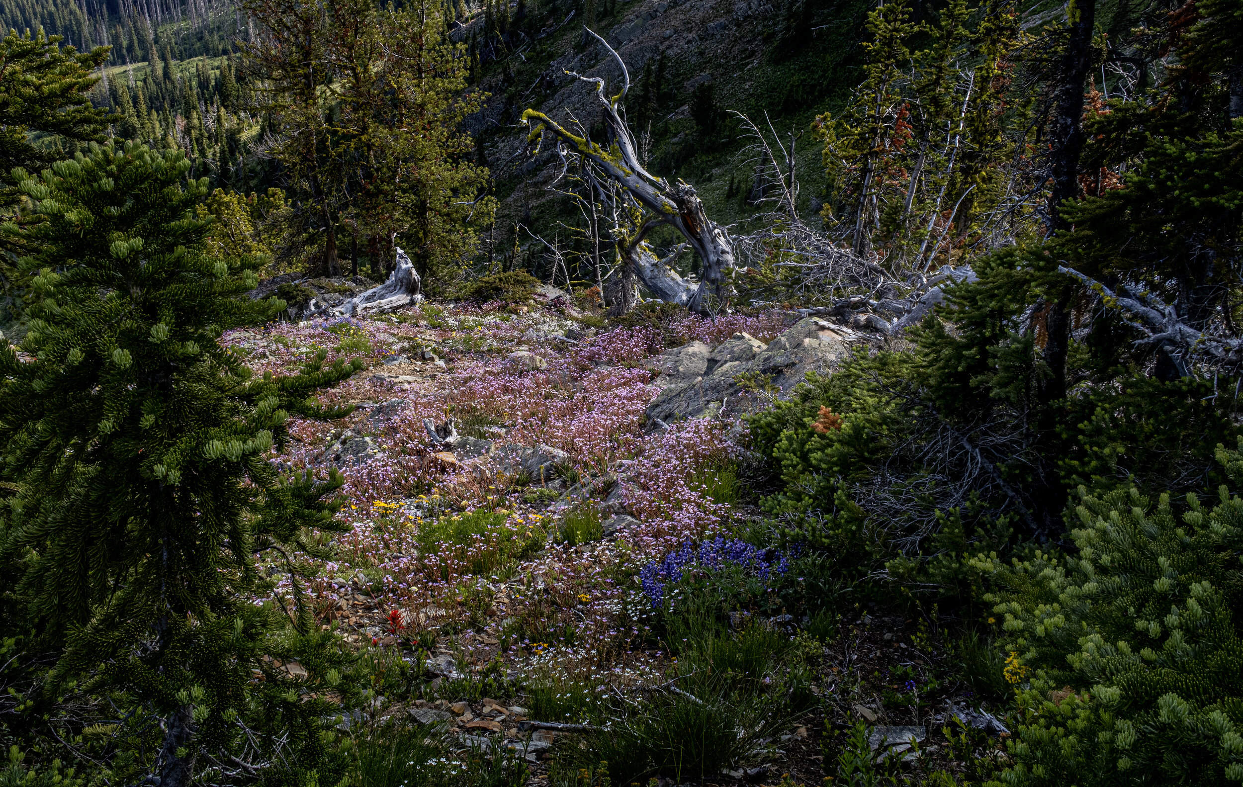
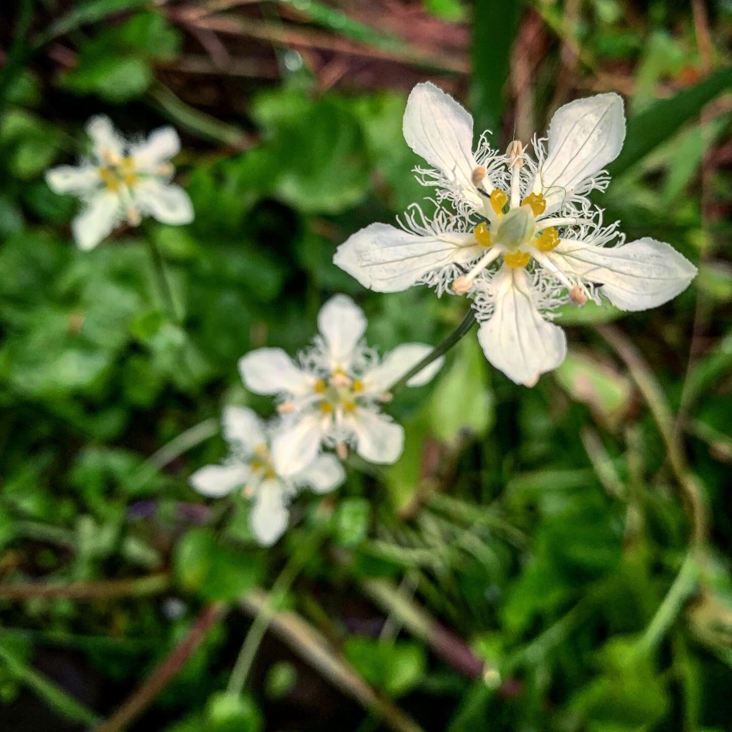
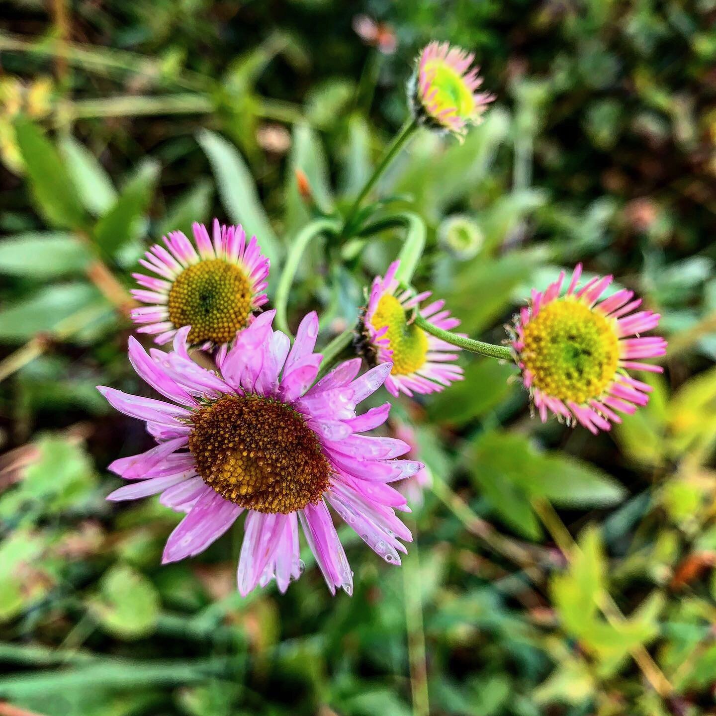
The second half the day’s hike took on a more Sierra feel as I entered alpine meadows and passed by granite surrounded lakes. I spent about a half hour in the first meadow photographing grass of parnassus’ white blossoms. It’s a rare flower. At elevation in the Sierra I’d only seen one of two at a time, but here there were hundreds in one of the lushest meadows of my trek. I camped by a small lake, Marten Lake, as the cold of late September dipped down with the sun.
An attempt to make mac and cheese, in my small pot, failed miserably as the pot of noodles tipped over into the dirt and, at one point, my bandana caught fire. Fortunately I had a second helping to cook and got it right the second time, with an extra cheese packet to add! The stars were incredible with no moon to fade them.
My last day was pretty uneventful. I had battery power left, so it was flamenco guitar Rumba music, by Jesse Cook and band, to get me moving fast on the trail. I arrived at Etna Summit around 2pm to find a road crew freshly tarring the road. It was getting hot for once and I was hitchhiking for the first time, without much luck. Four cars passed in two hours. One guy stopped to tell me he couldn’t give me a ride because all his deer hunting stuff took up all his truck cab. Whatever?
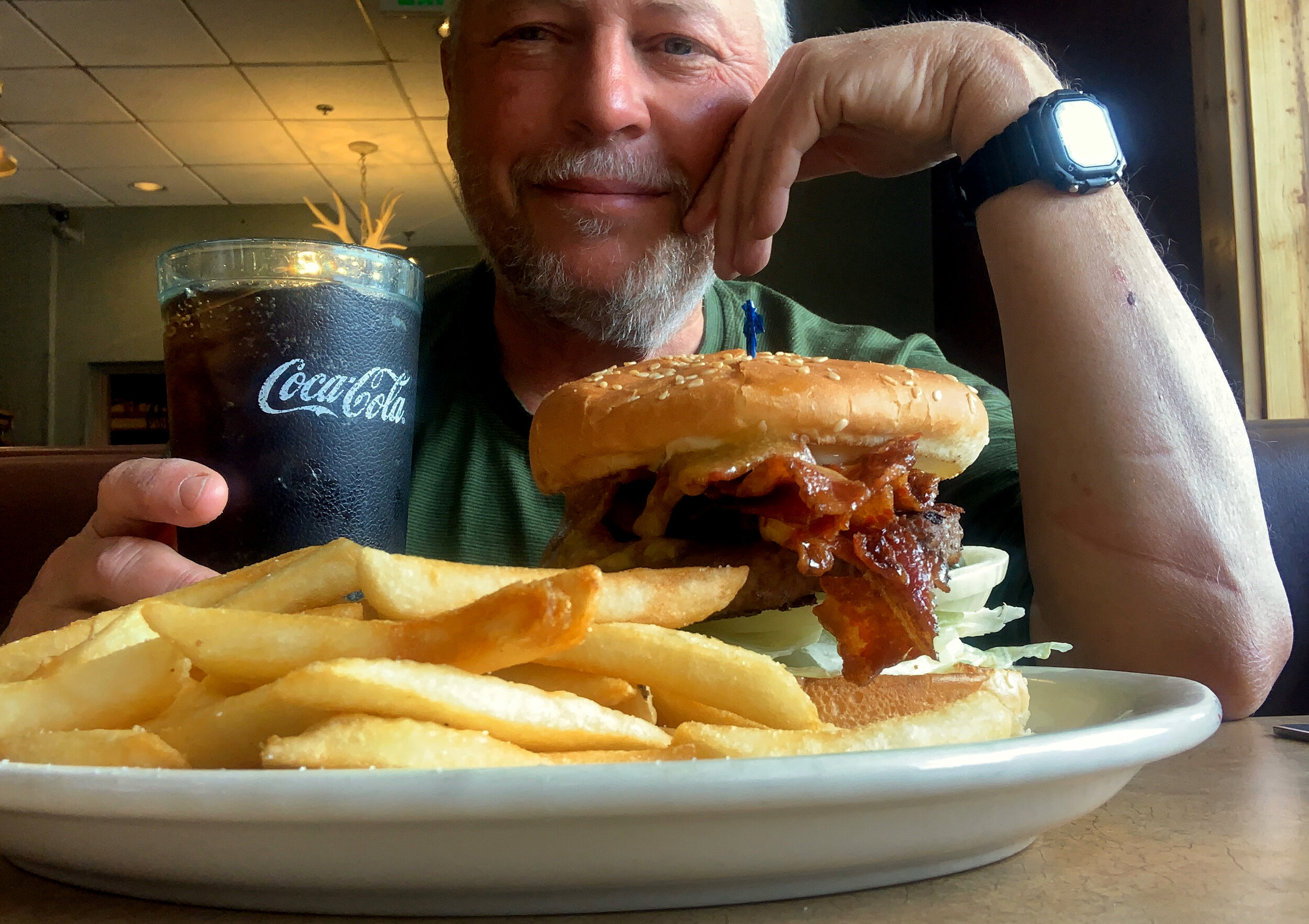
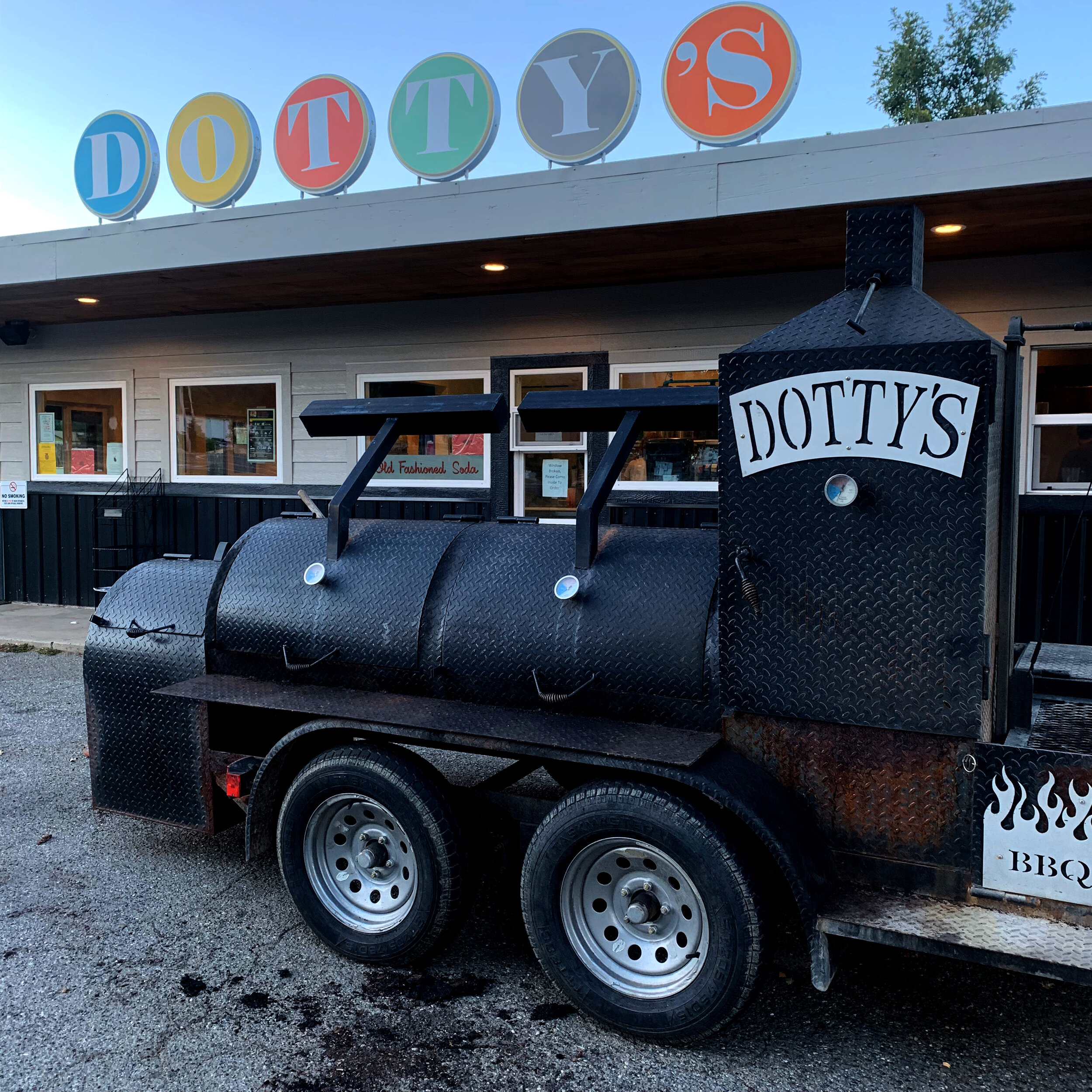
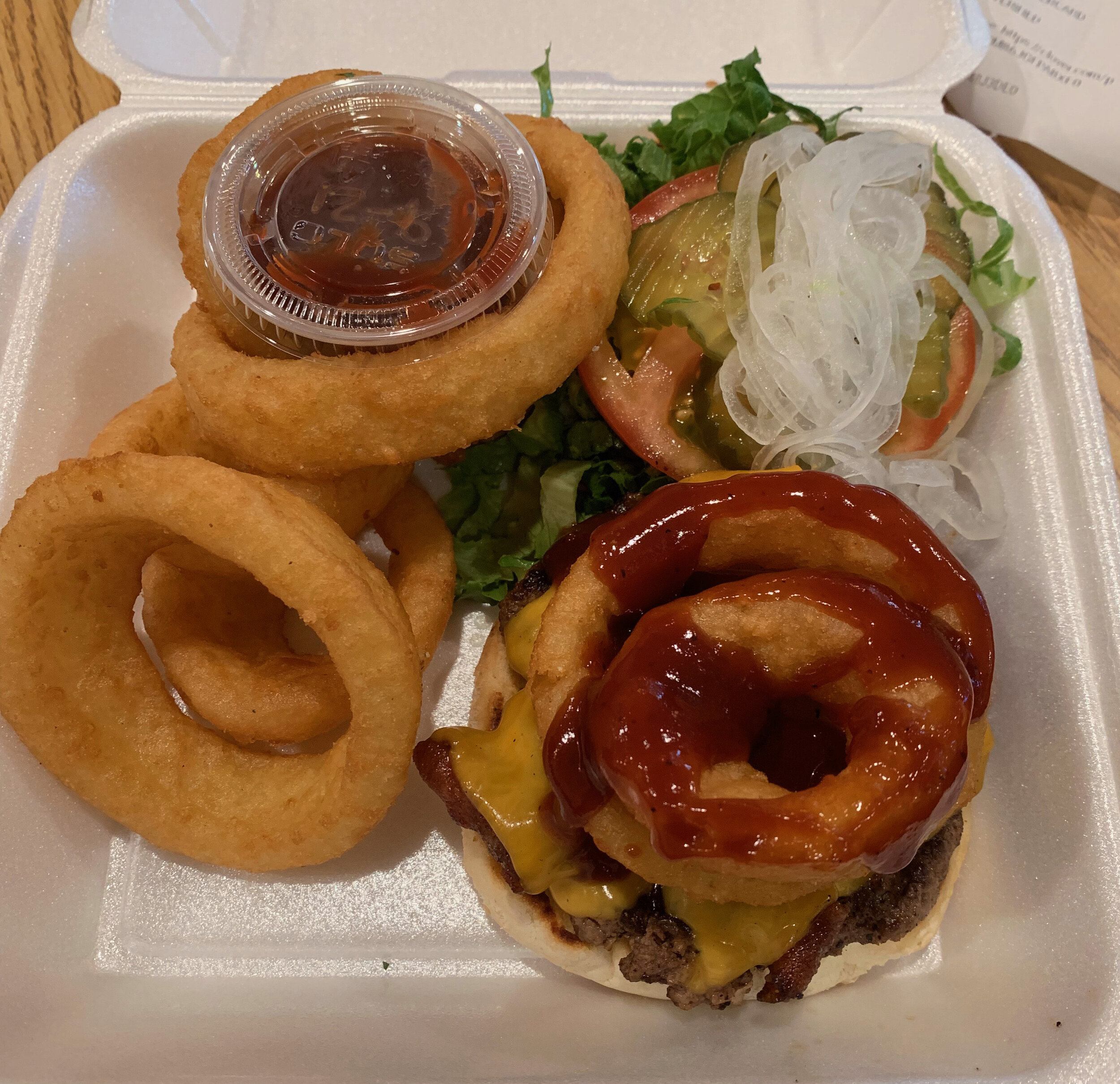
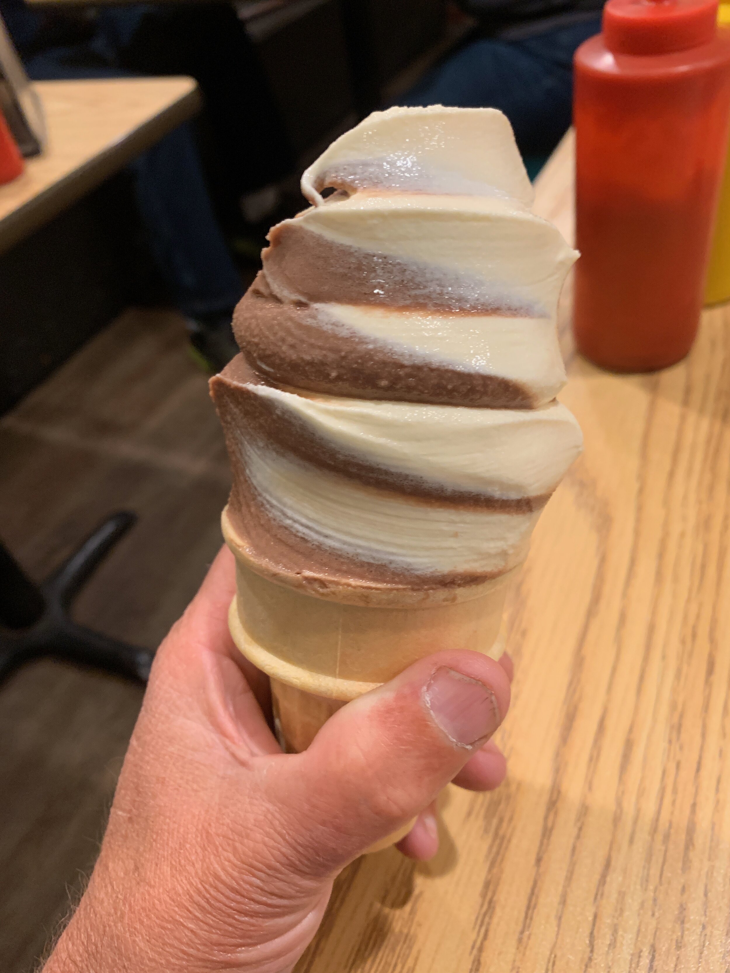
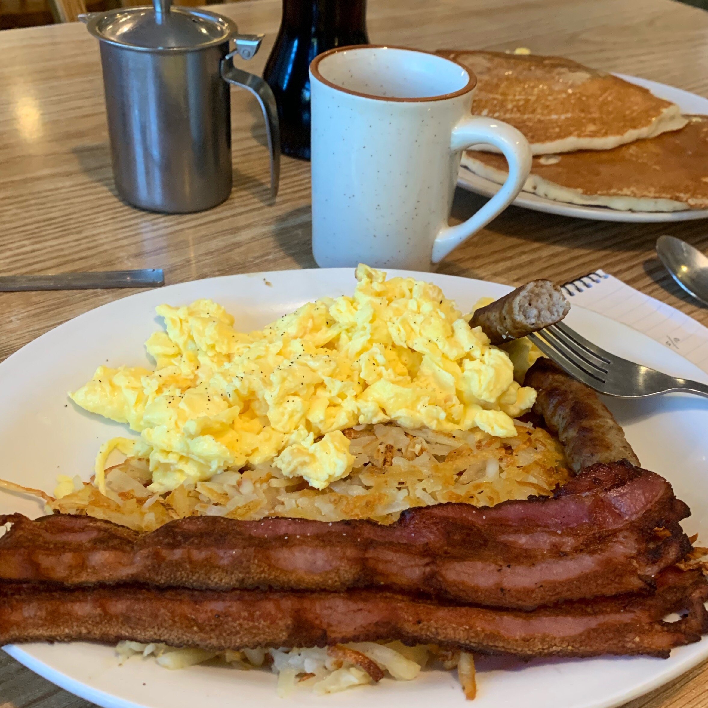
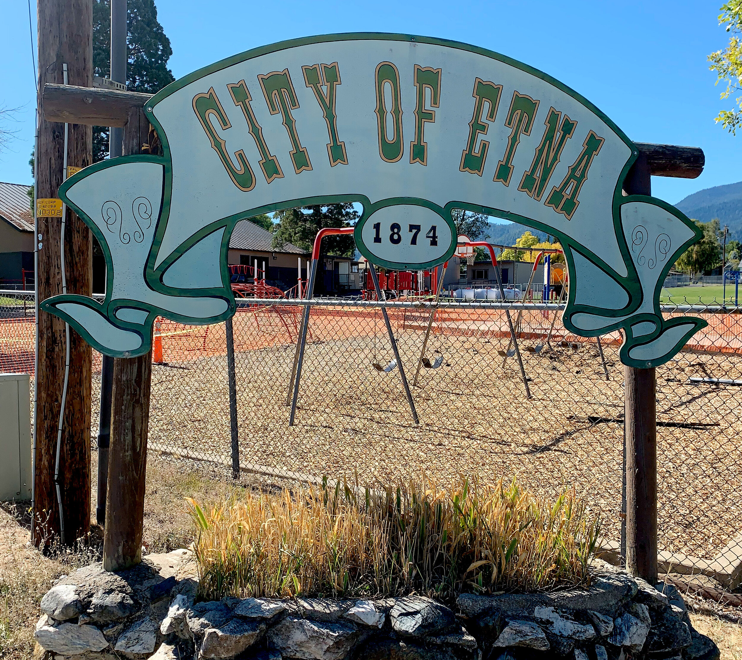
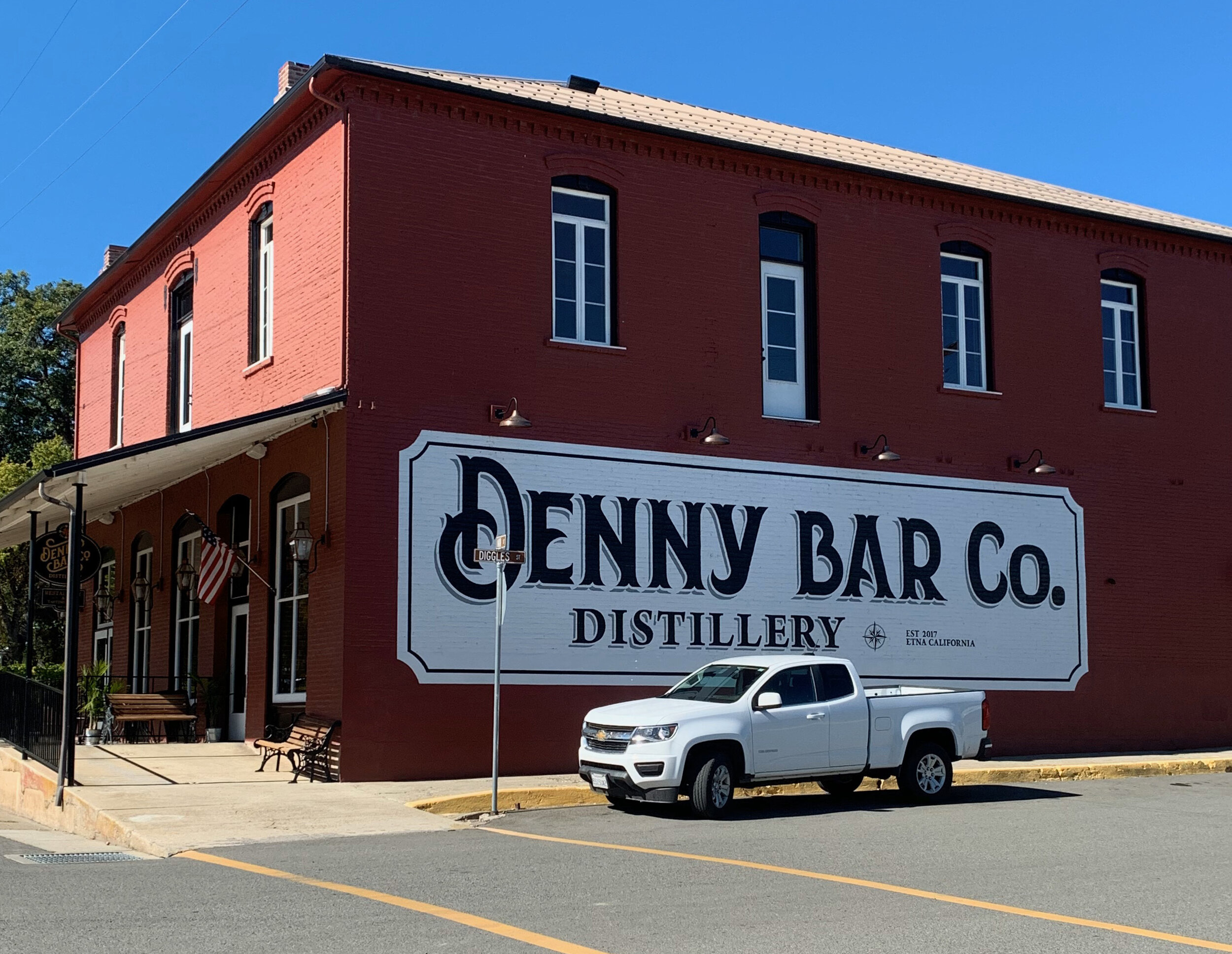
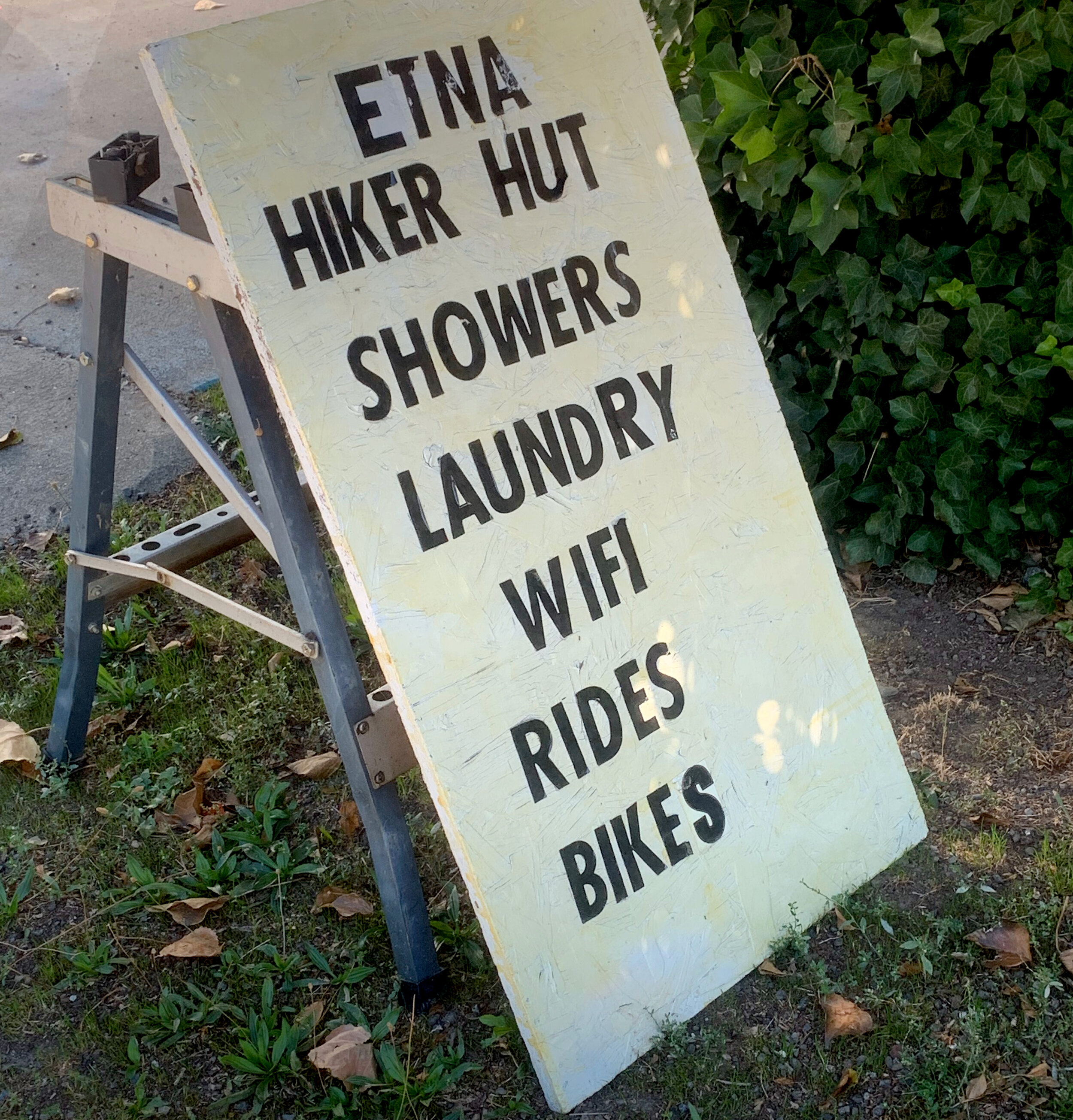
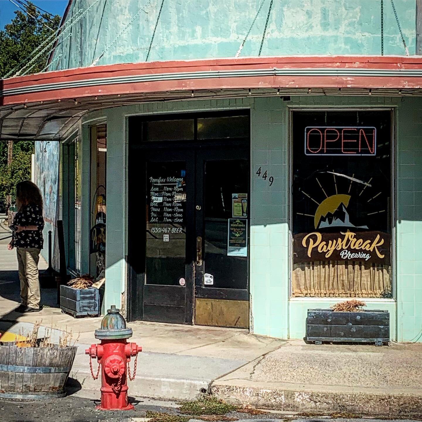
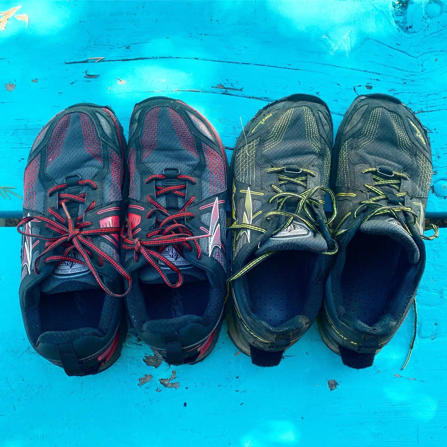
I got a ride into town from a US Forest Department forest suppression officer who was super kind. We got stuck for a half hour waiting for the road tarring crew to finish a section of the road, so I missed out on getting my new shoes and warm clothes at the Post Office until the next morning. I opted for a motel room, which was great, inexpensive and the hotel owner did my laundry cheap! I ate an awesome BBQ burger at Dotty’s, a huge breakfast at Bob’s Ranch House and resupplied at Dollar General (mostly candy bars this time around).
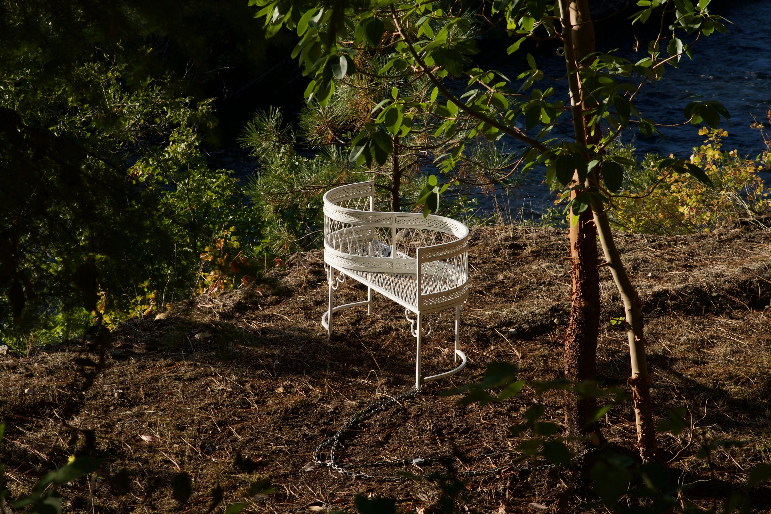
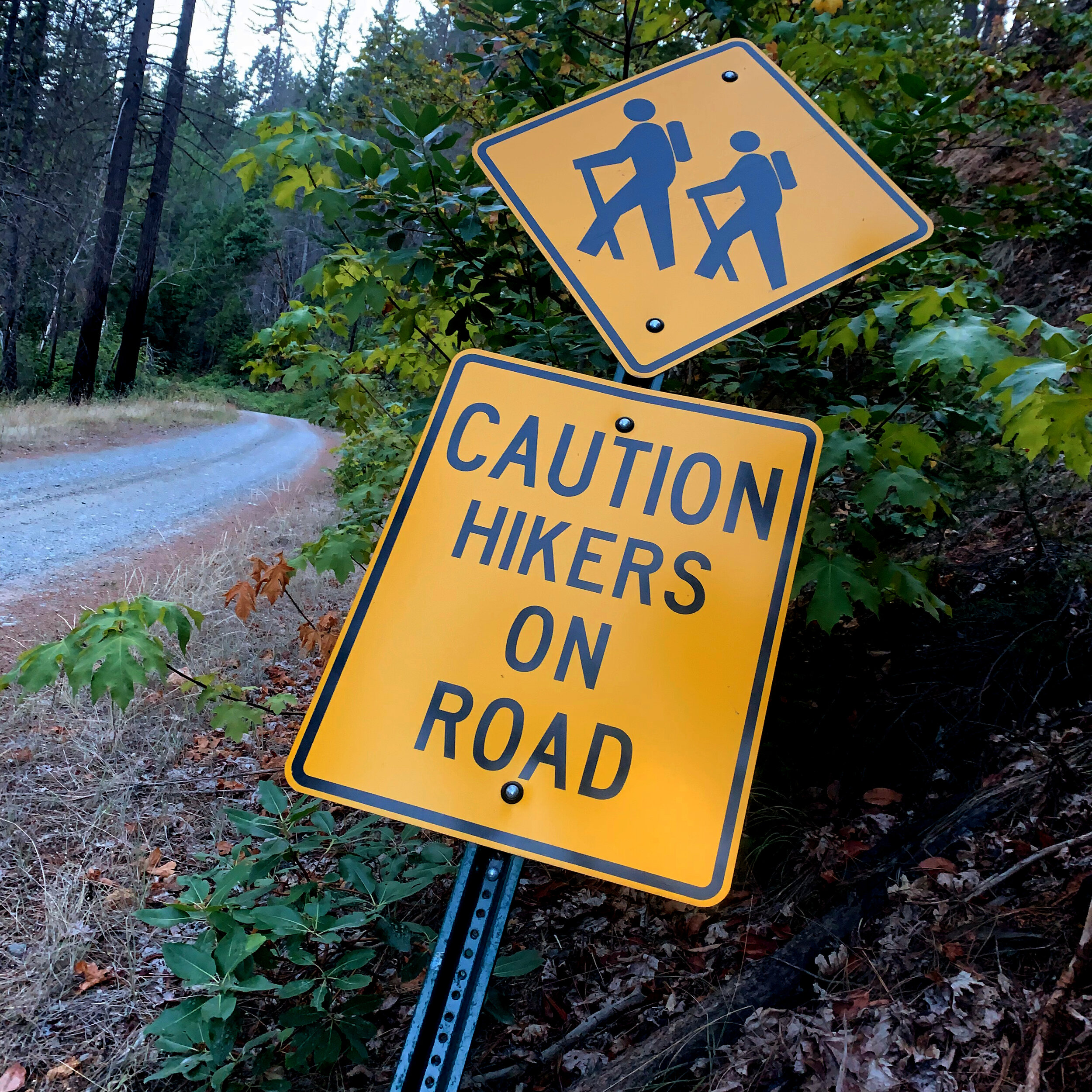
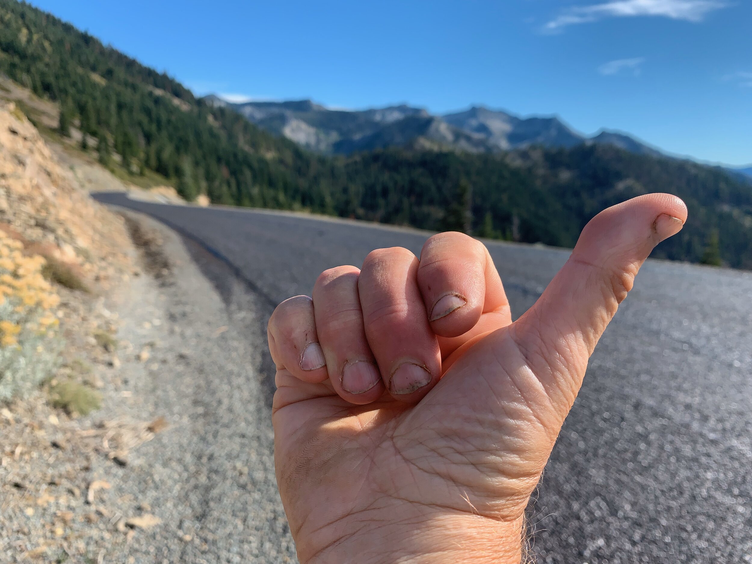
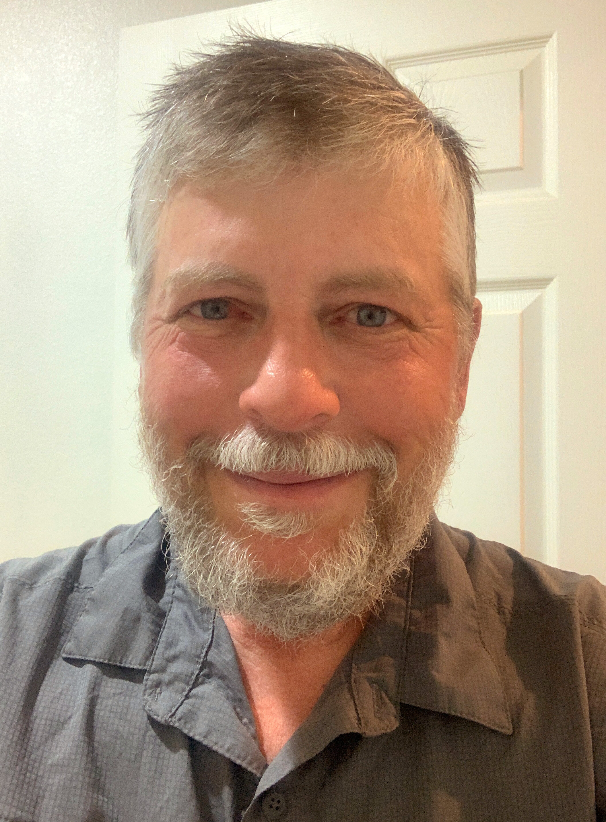
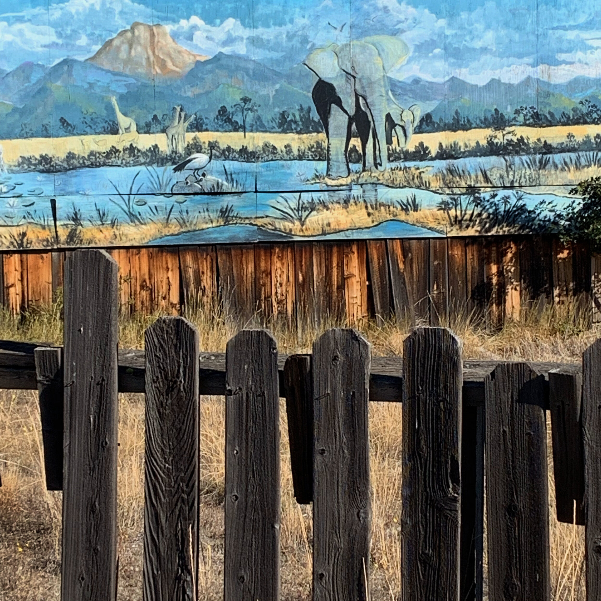
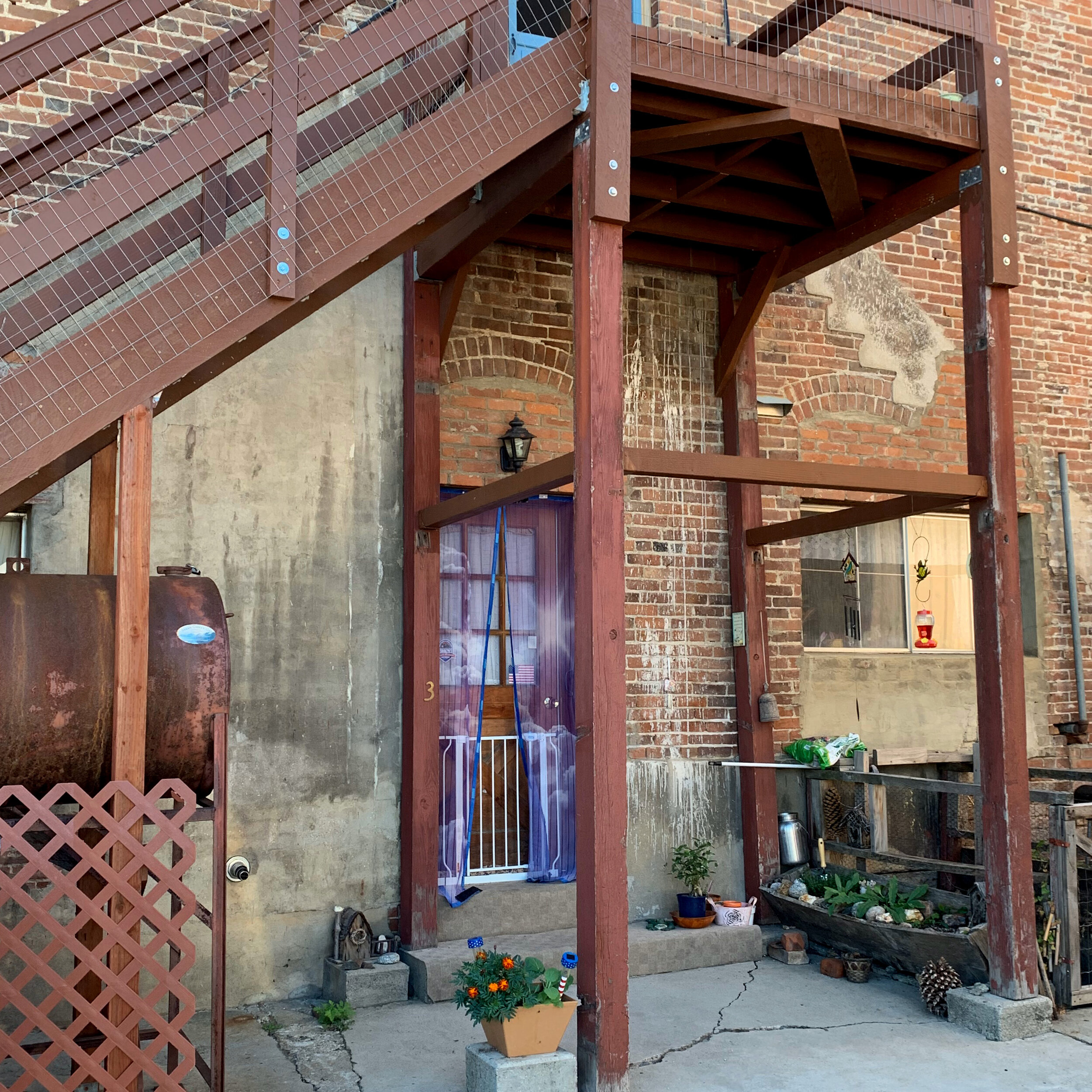
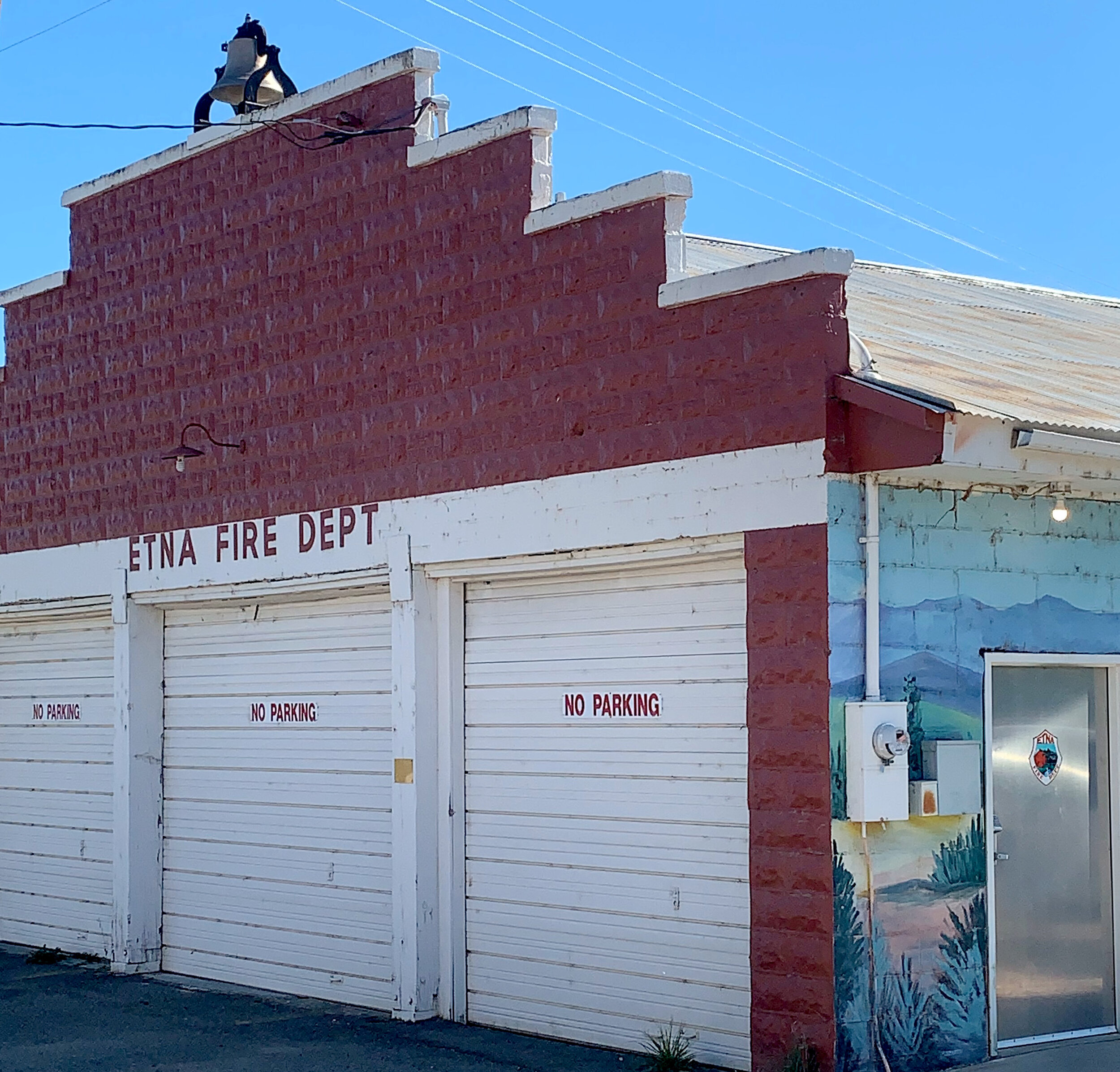
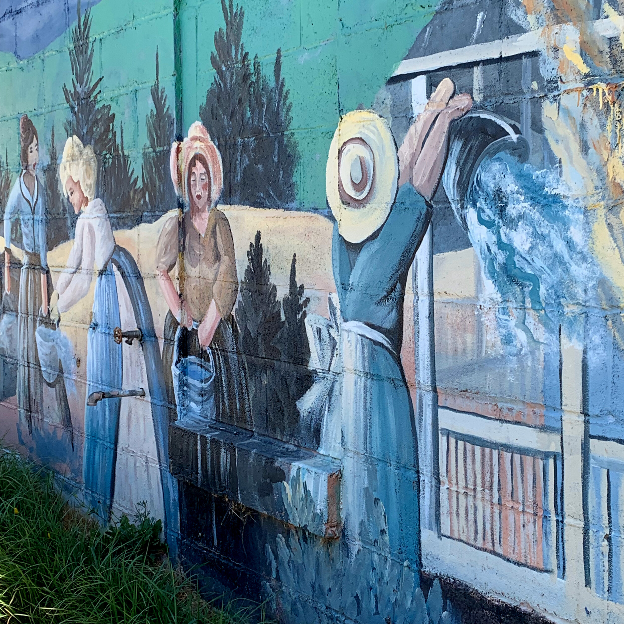
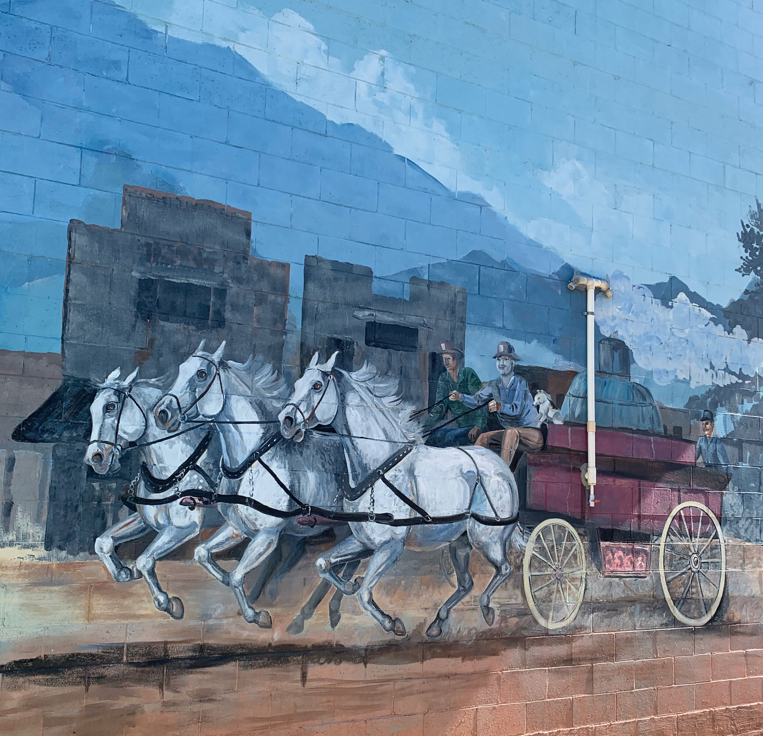
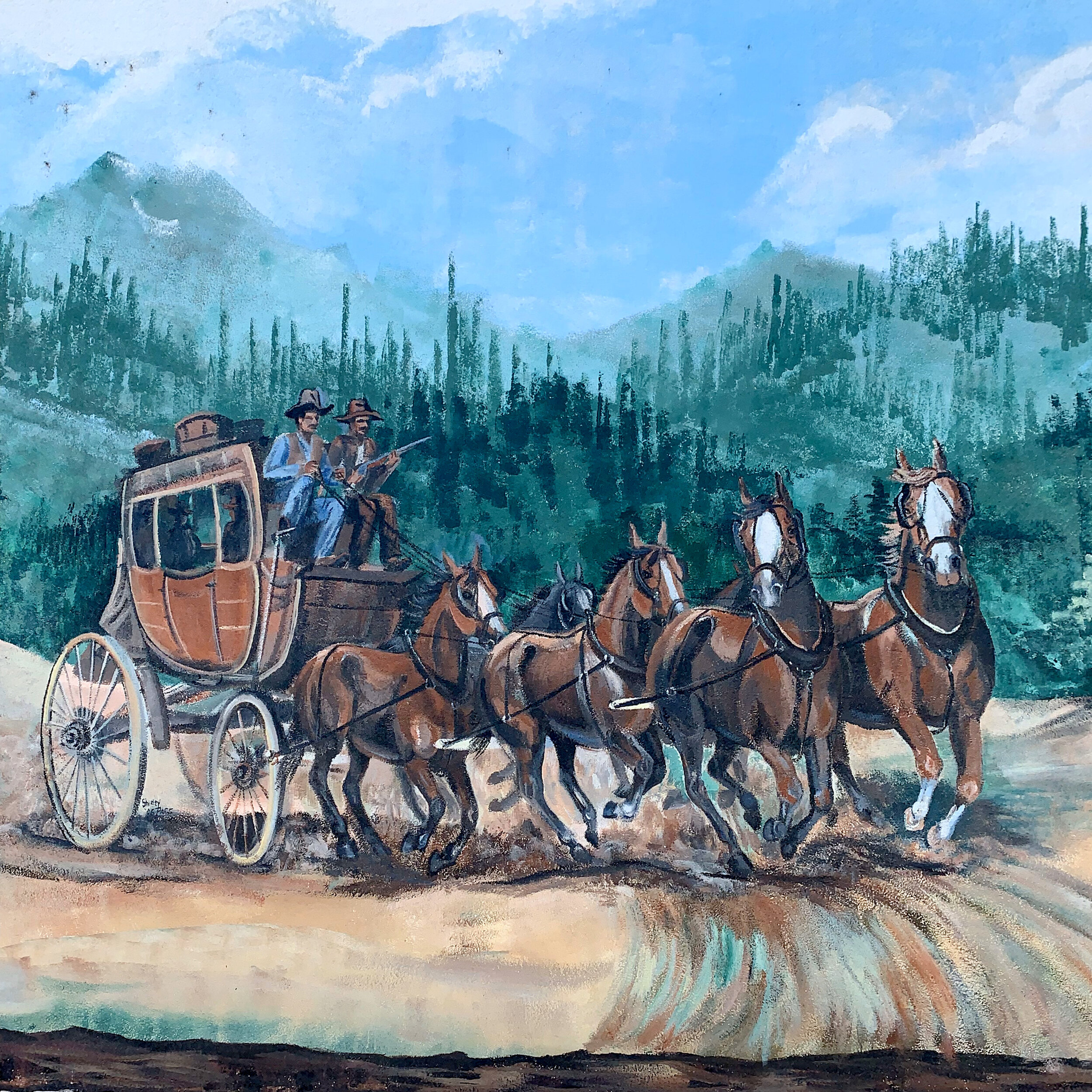
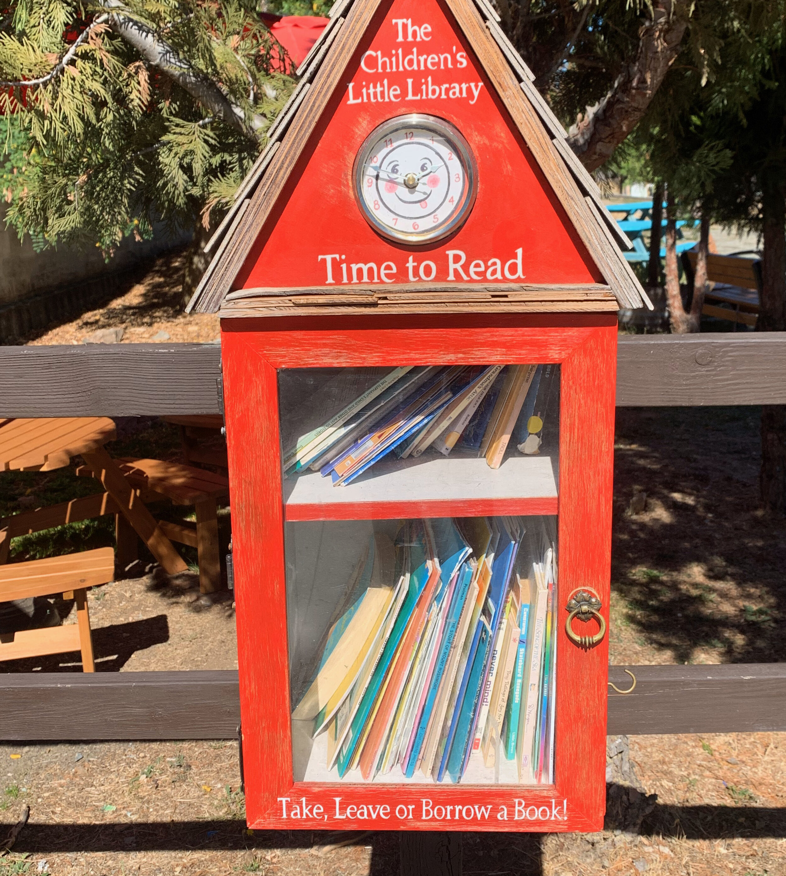
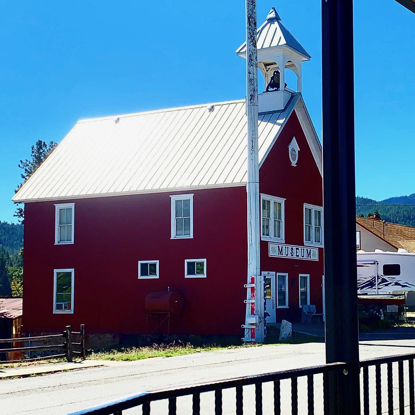
The town was charming. I met a few older “dudes” (Cowboy boots, hats and aviator glasses) from Etna who apparently spend their afternoons, sitting on main street and watching people walk by. They were fun to chat with and one gave me a length of rope to hold up the too big pants I had mailed to me at the Post Office. On the way out of town, hitchhiking, I got a ride from Christopher, who makes money in his retirement taking hikers up and down the mountain for donations. I was in and out of town in less than 24 hours but may return someday to spend a little more time.








September 25 -30/ 100 miles
Etna to Dunsmuir
This was the week of the most intense weather during my thru-hike. Leaving Etna, I was told by several that temperatures would drop and snow would be deep near Etna. I hoped to outrace the storm coming in and arrive in Castella, to get a resupply, and shelter there until it passed. I din’t quite make it.
The trail was nearly deserted at this time of year. Most of the NOBO’s were pushing hard for the Canadian Border and the SOBOs were trying to get through the Sierra before the first snowstorm. I encountered a few thru-hikers who had flipped all over the trail to avoid snow and weather, saving Northern California for their last miles. I was staring at my phone one day during a moment of cell service when a deer hunter, dressed in camouflage, walked with in two feet of me before I notice. That and his big gun made me jump. We had a long conversation as I was starved for human contact. Being a local, he gave me a fair assessment of the challenges I faced with coming snow.
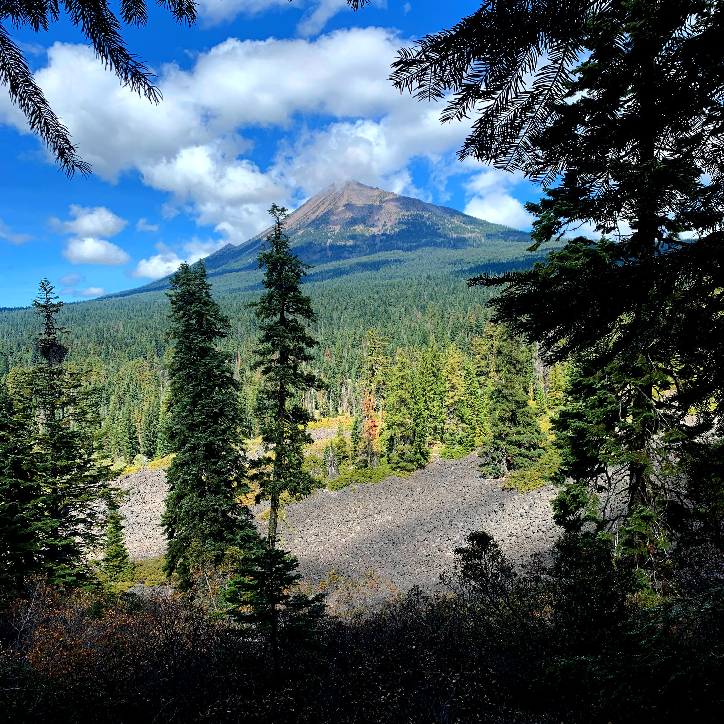
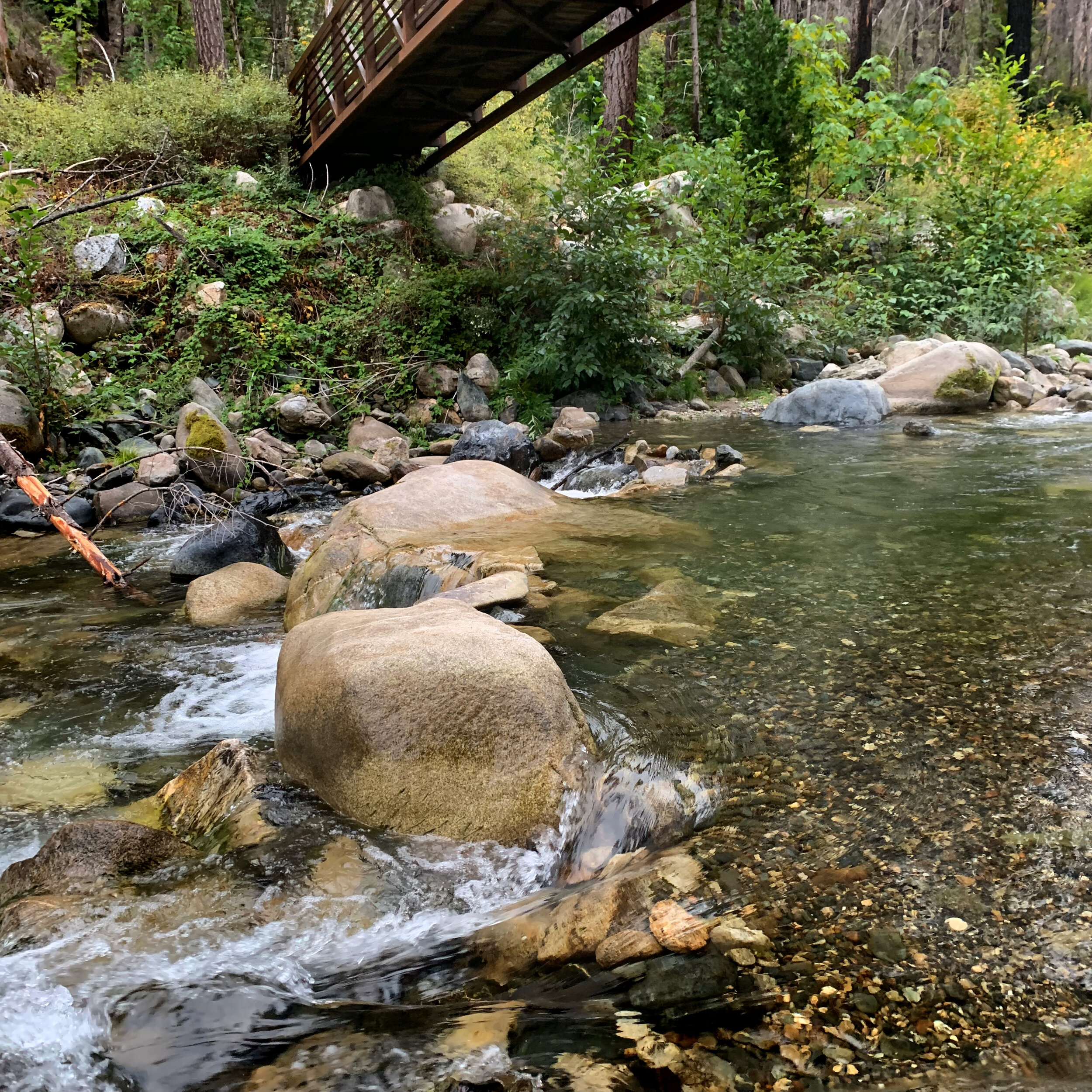
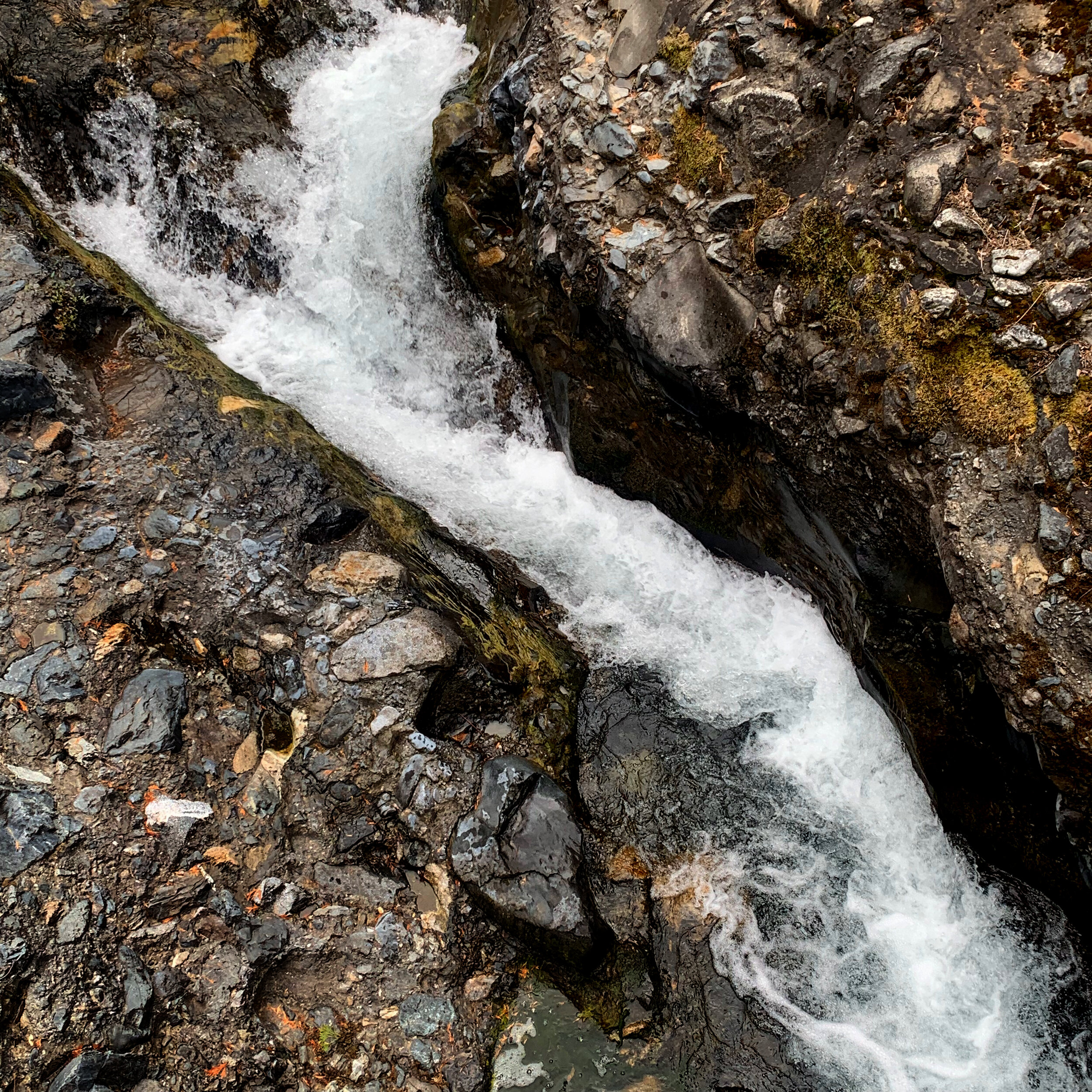
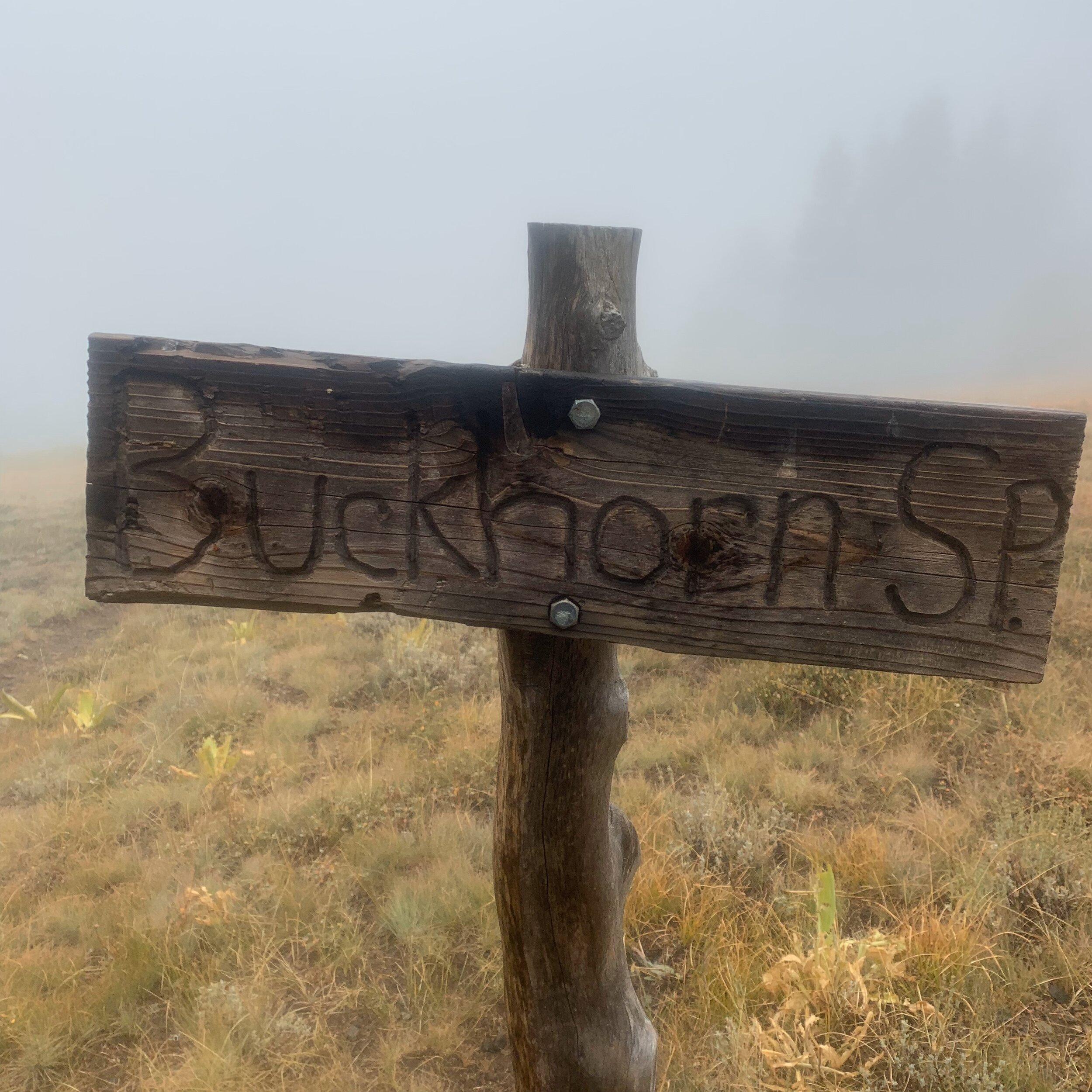
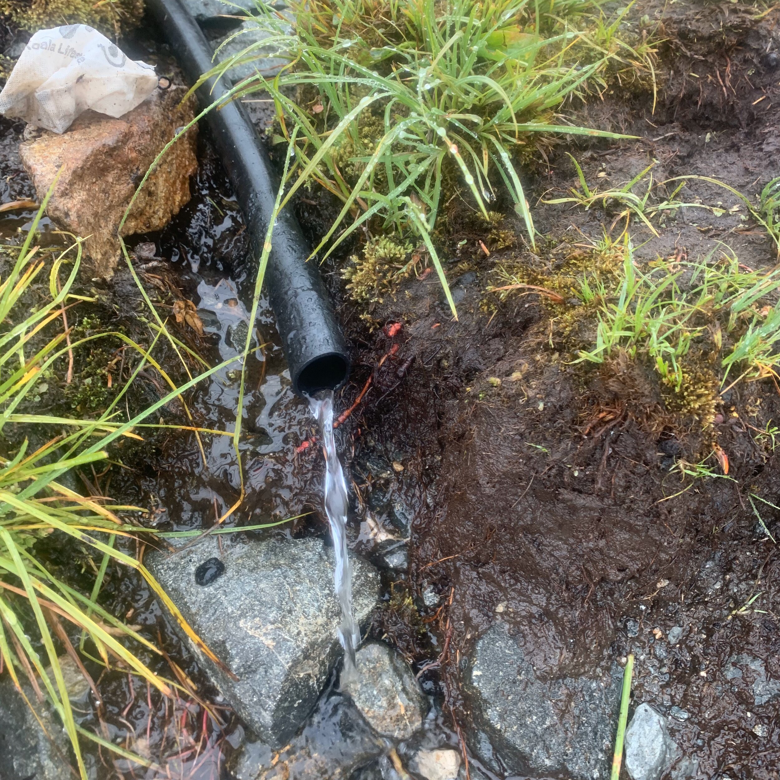
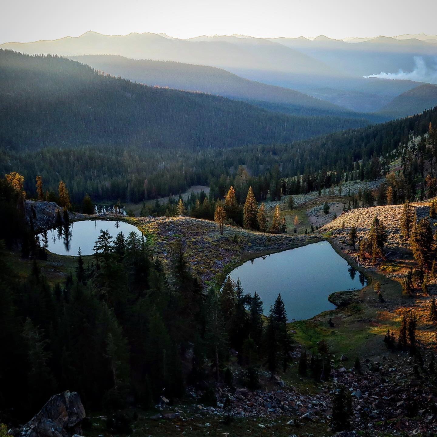
This hike pretty much was spent hike around Mt. Shasta, a glorious conical volcano, ever present on every ridge. My initial image here is a few days into the hike and then I go back to a chronological account of my experience.
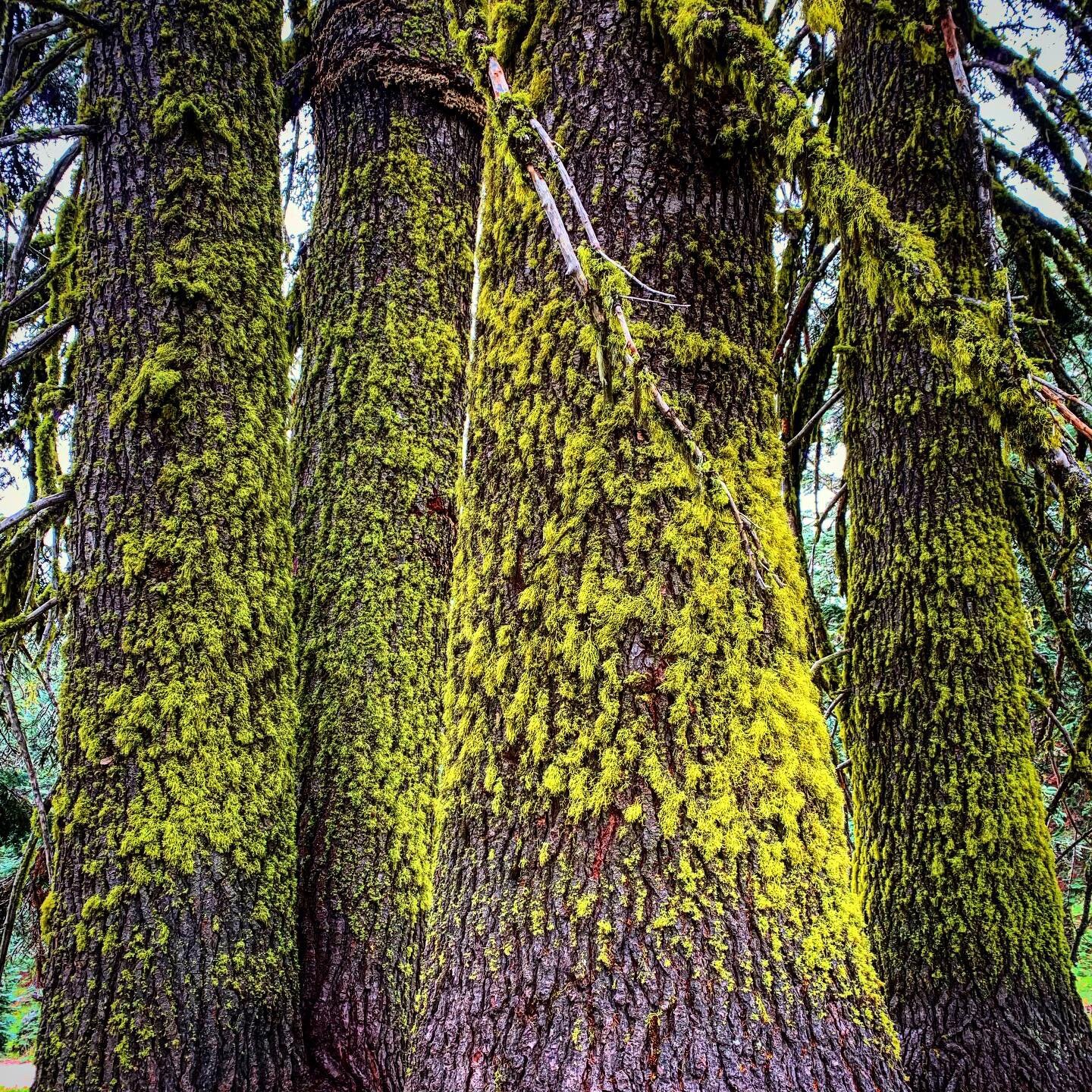
The first few days were spent knocking out long miles along ridge runs with easy passes. Water was scarce on these granite ranges but I’d become accustomed to seeking out each spring. I was pleased to start seeing redwood trees, reminding me that I was not far, as the crow flies, from the great redwood forests of the California coast.
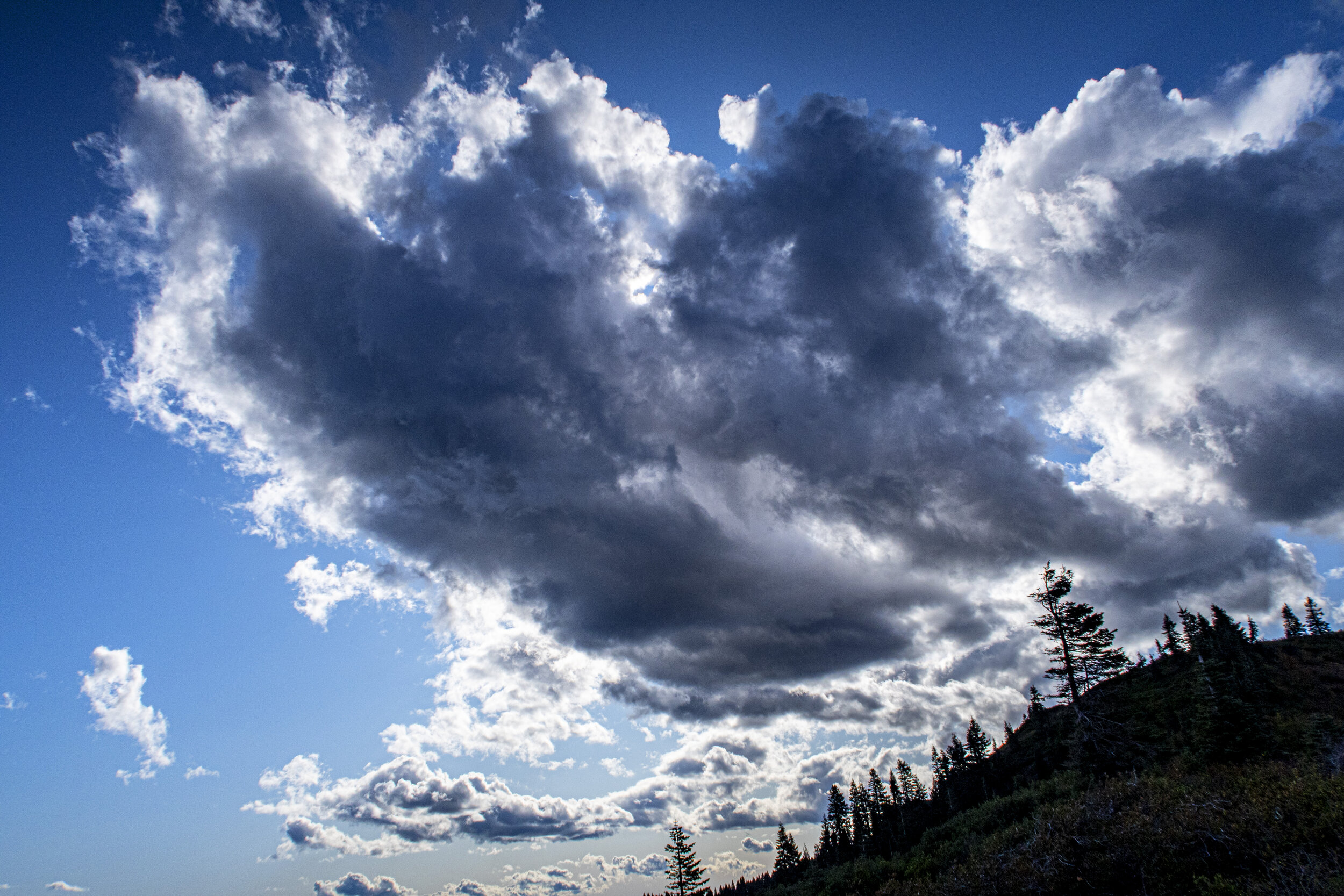
One evening as dusk fell, I stopped to camp near a cliff with views of a golden Shasta. The following day’s early morning start was cancelled by a fantastic sunrise over the Trinity Alps. Progress was also shortened by a few long conversations with local hikers. I passed by a few bogs where carnivorous California pitcher plants flourished. At day’s end storm clouds created an ominous mood and perhaps my favorite sunset image of the trek. It was so cold on my ridge top camping spot that I deferred gathering water from a nearby spring until dawn.
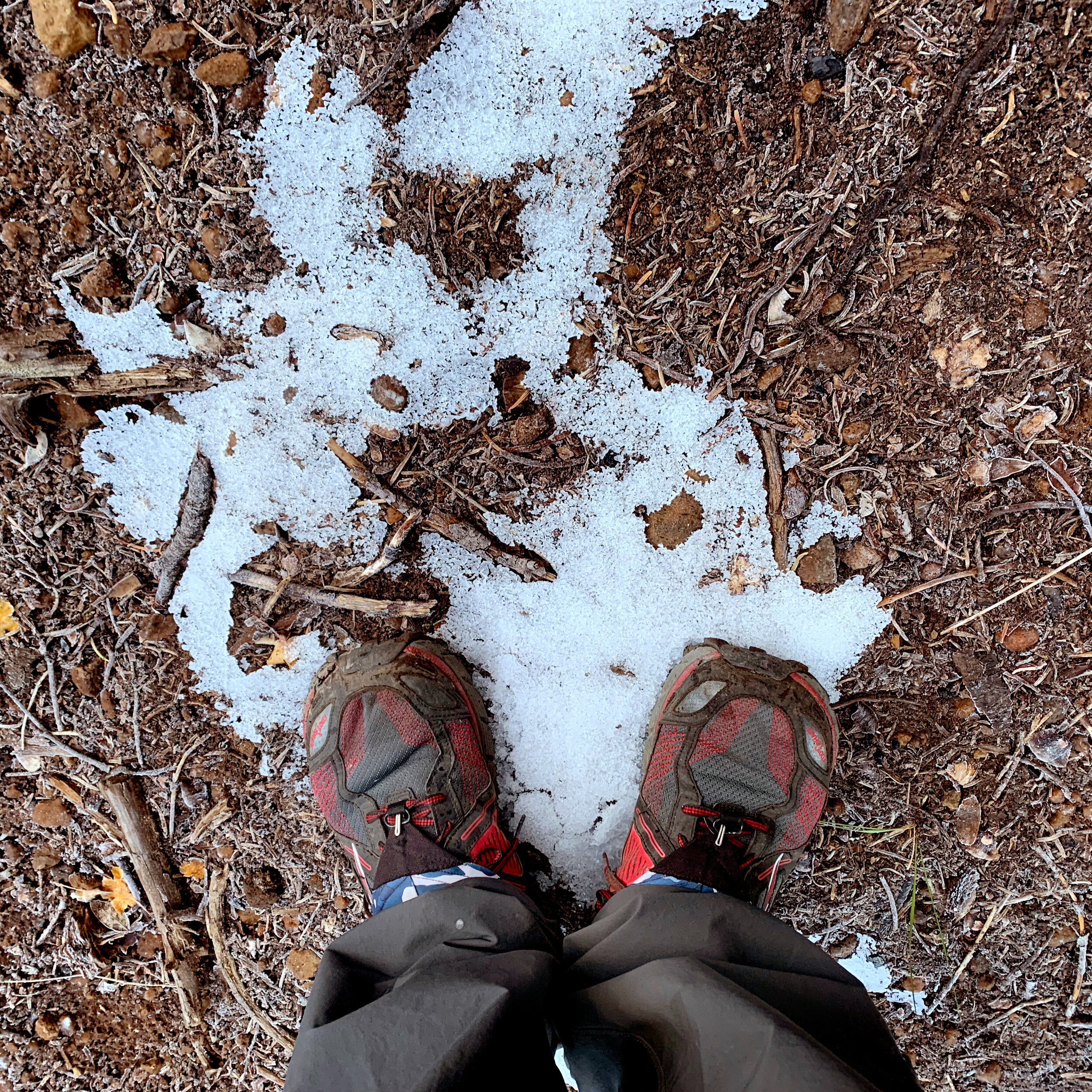
Before dawn I tanked up at the spring using my headlamp. My gloves got wet and then froze solid, necessitating I wear just my rain mittens. With a brief chance of cell service, I was chatting with my wife, describing the cold as it began to snow. That first snow shower kind of shook me and delighted me. It was so beautiful but I was far from any bailout trail if the weather turned worse. I did prefer the snow to rain because of its dry nature.
That afternoon I came to a trailhead parking lot with a very nice pit toilet and a dozen cars. Many day hikers hunkered in their cars, weighing their options in the bitter cold. I had a critical decision to make. Should I ask for a ride out of the mountains and wait out this storm or push on? The remoteness of this road, and the possibility of every getting a ride back here made up my mind to push on. Pellet like snow soon pounded my face and the trail seem to disappear, but its location was obvious by the terrain.
I hiked in sunshine through the late afternoon but wrapped up an 18-mile day at Porcupine Lake in the hardest snowfall of my trek. Views of Shasta were more epic than usual and some steep, icy, ridge-hugging trail had my heart racing as a slip here would be very dangerous. I slept under a falling snow and woke up to a beautiful silence . Finding my way back to the PCT, from my off trail campsite, strained my memory of last night’s landmarks.
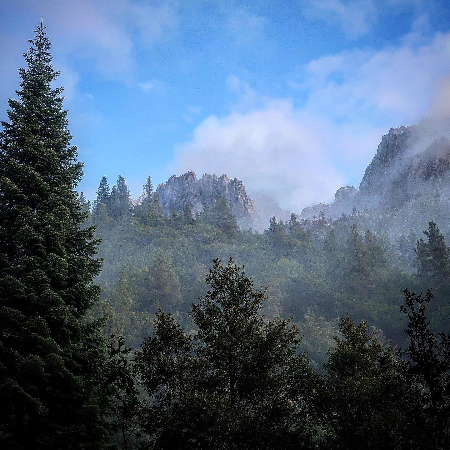
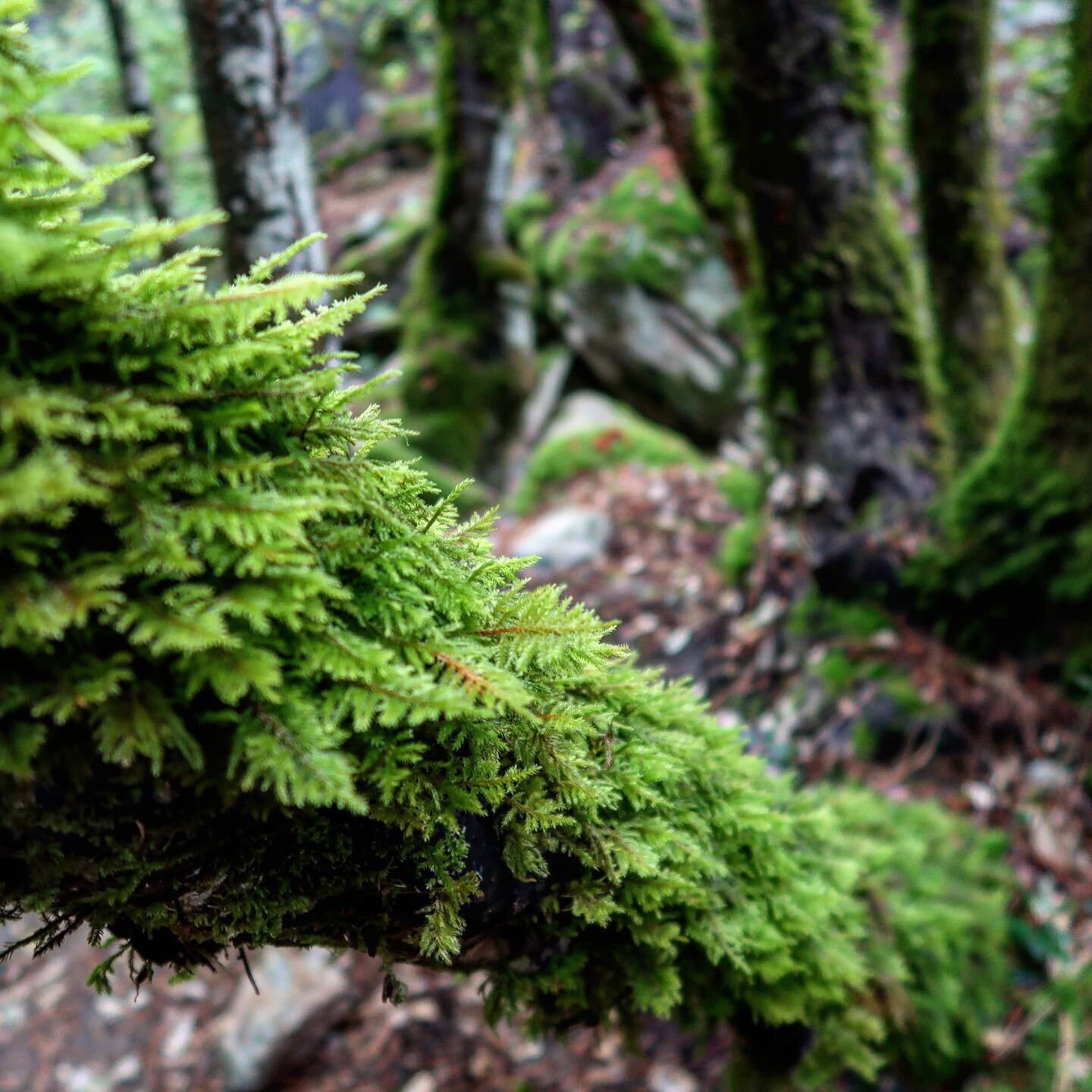
Hiking long ridges toward Castle Crag State Park, was fast and refreshing as the views went on forever. I met no one for most of the day. As the crags of the park came into view, black clouds quickly moved in and the snow returned. This was the heaviest snow of my trip. As I descended in elevation, the snow became wetter and wetter. I ran into one crazy NOBO hiker who asked anxious questions no one could answers, pushing on into the unknown for several days. By nightfall I was in mossy rain-soaked forest and almost everything I owned was wet. I slept in my wet clothes to allow my body heat to dry them.
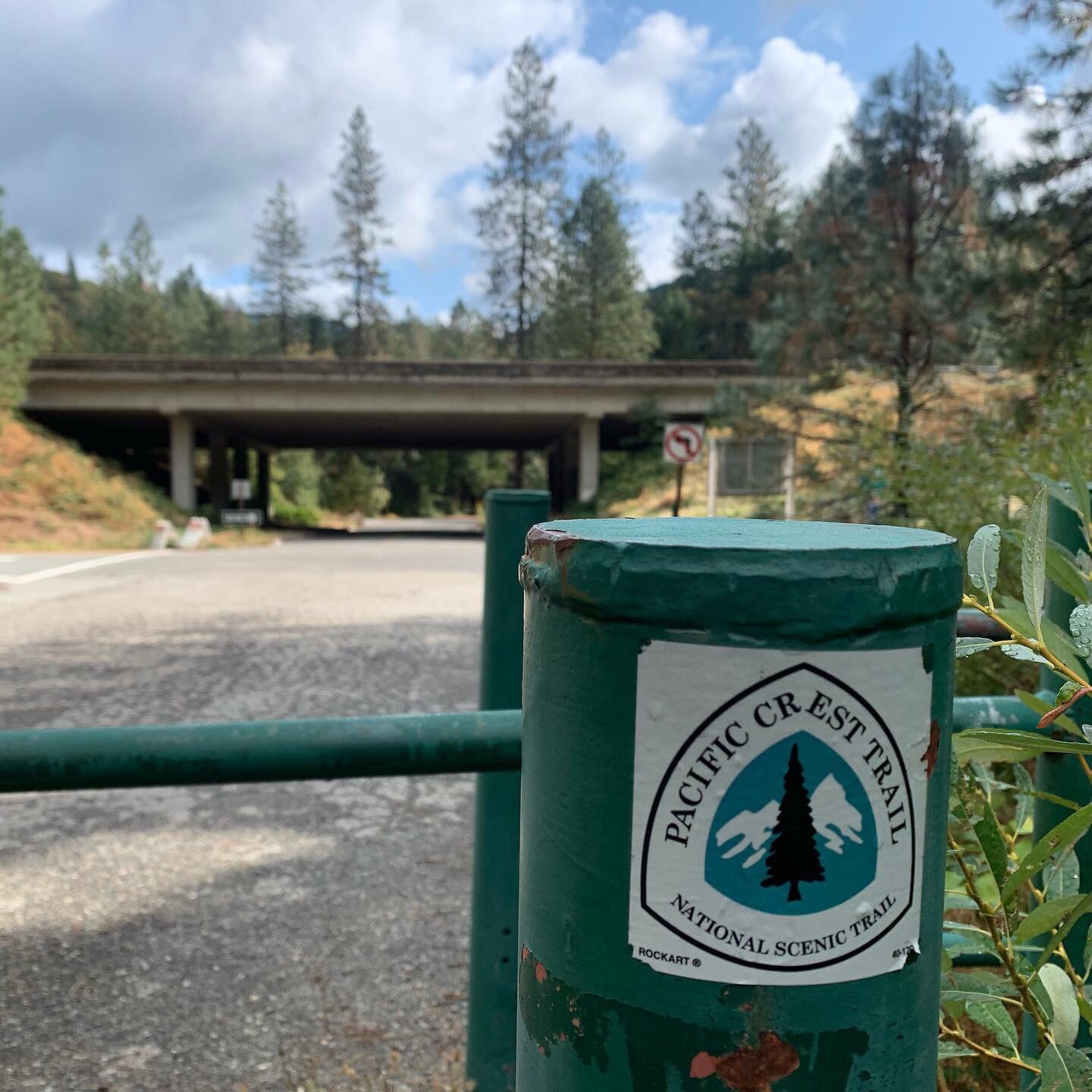
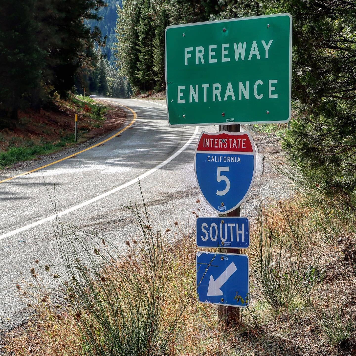
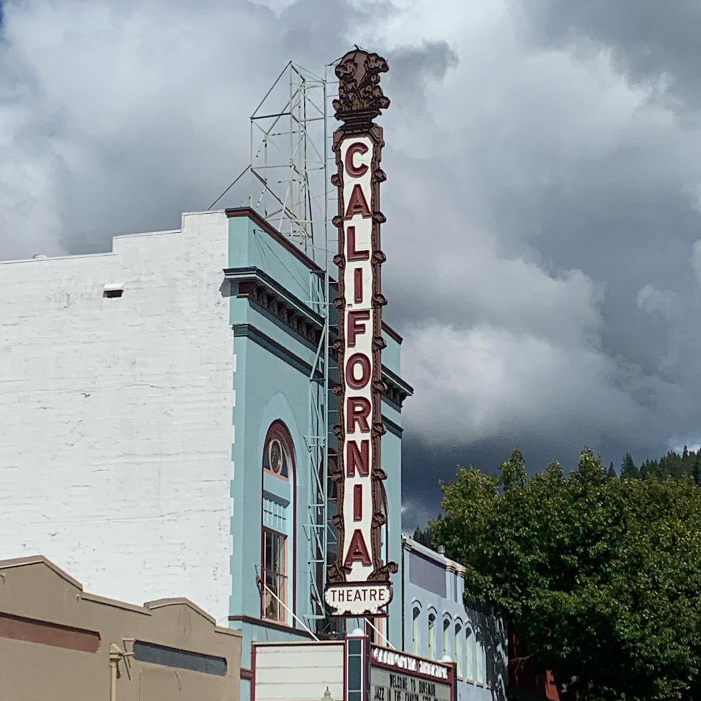
As I approached Castella, I was praying for direction and encountered my first NOBO hiker. He gave me a glowing account of a trail angel in nearby Dunsmuir, a very concrete answer to prayer. Jeanne of AHA Travel, picked me up at the 5 freeway, drove me all over town for resupply, shared a pizza and moving conversation with me, before introducing me to the guest quarters at her home. Other than staying with family and friends, this was on of my favorite times off trail. I paid Jeanne far more than she requested for her hospitality. The following morning, snow and rain gone, Jeanne delivered me to the trail and I became an evangelist for her generous services.











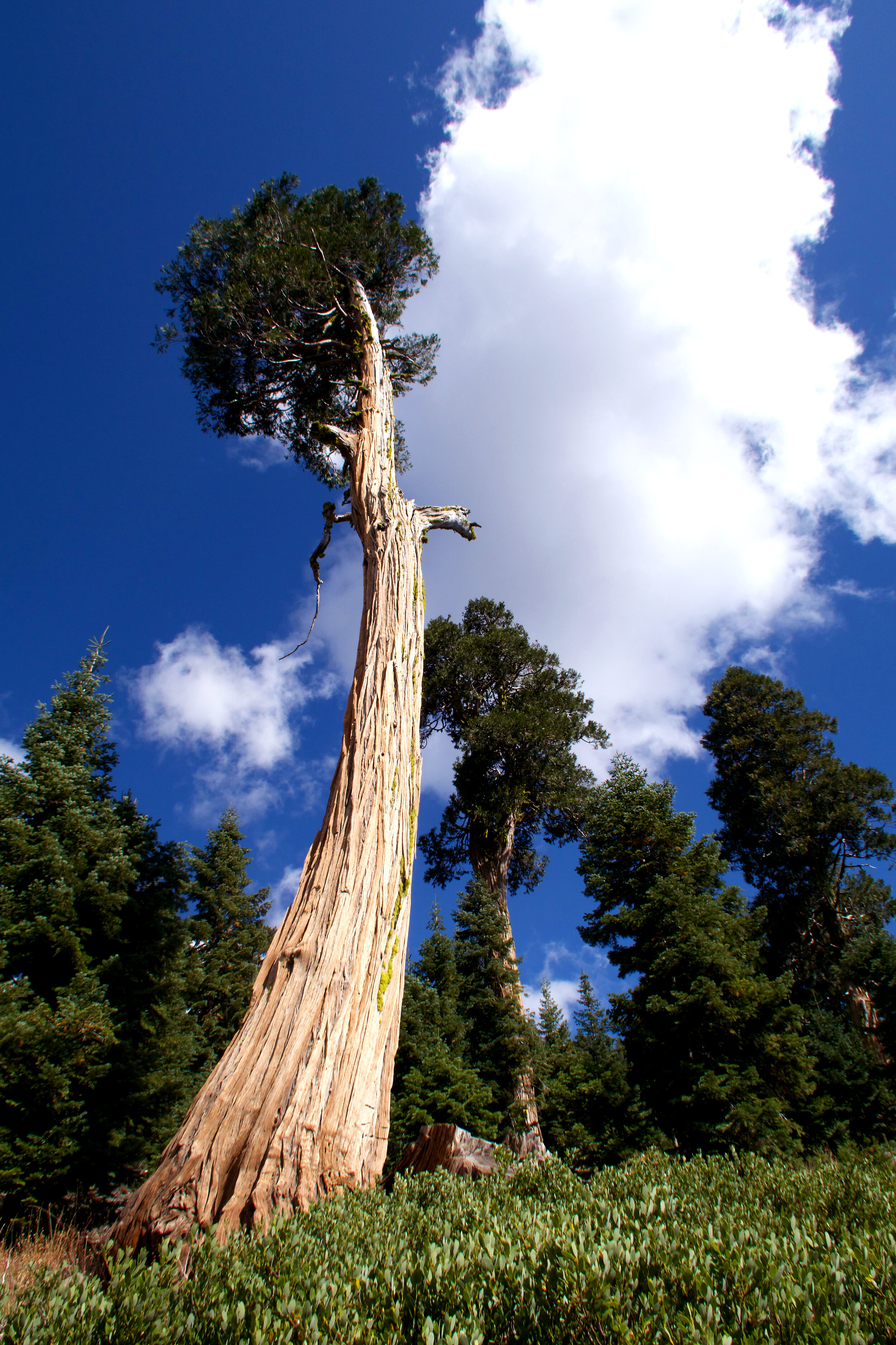

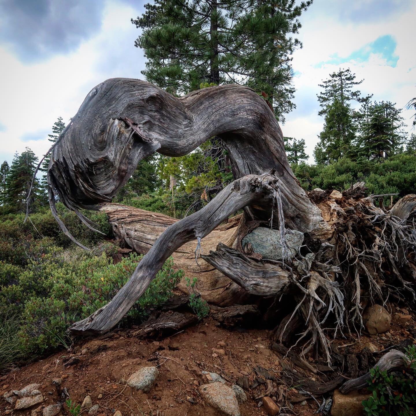
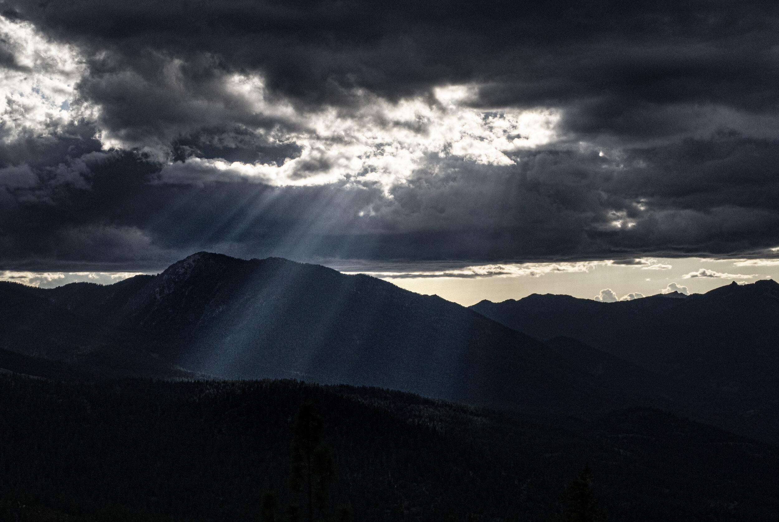

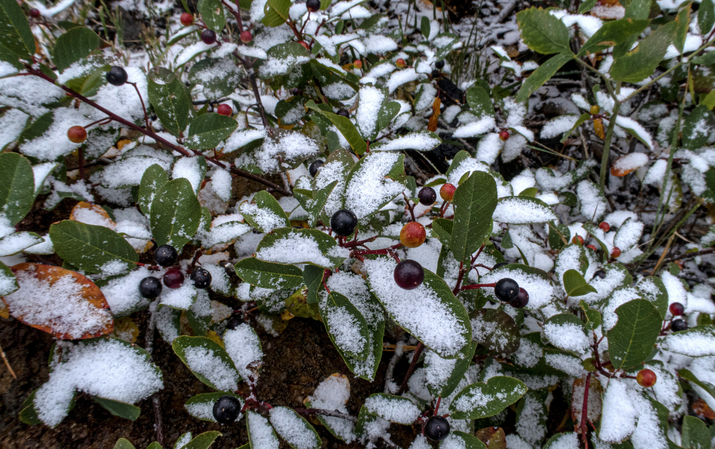
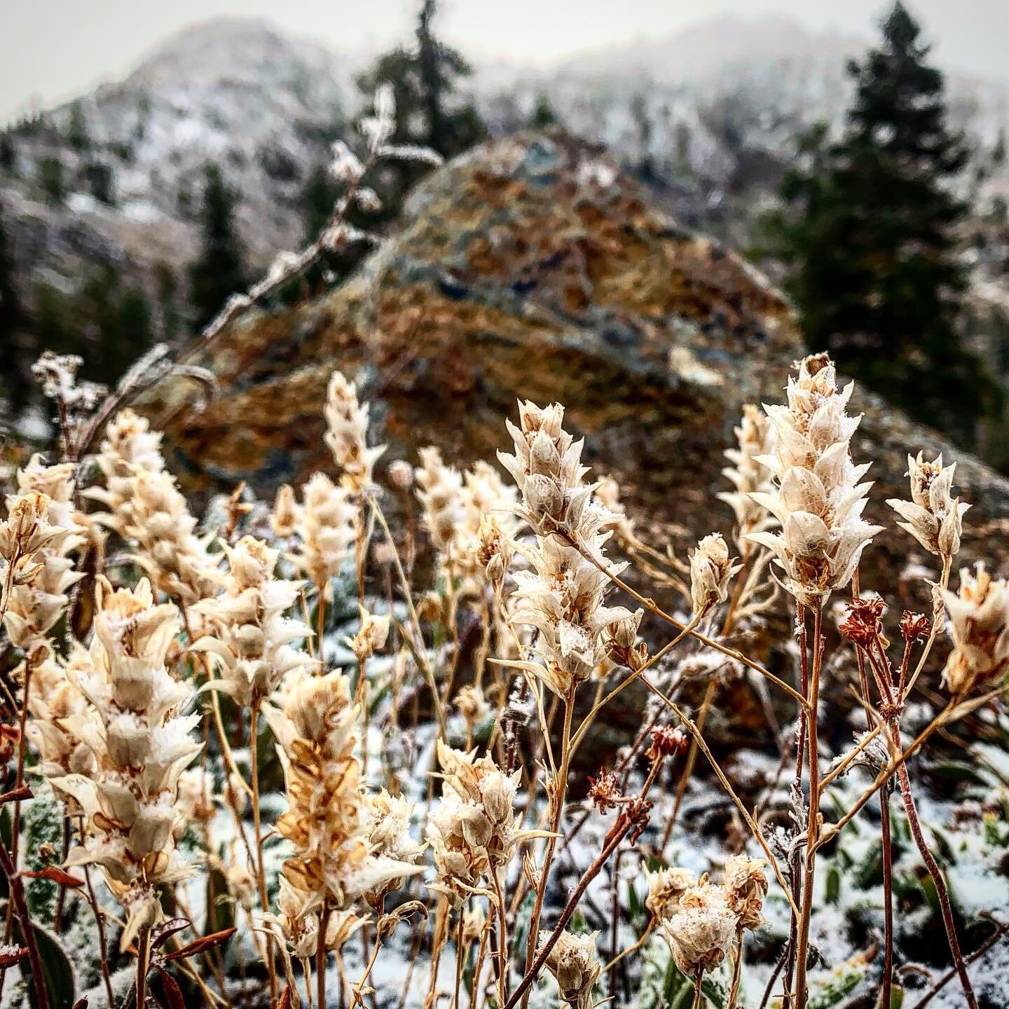


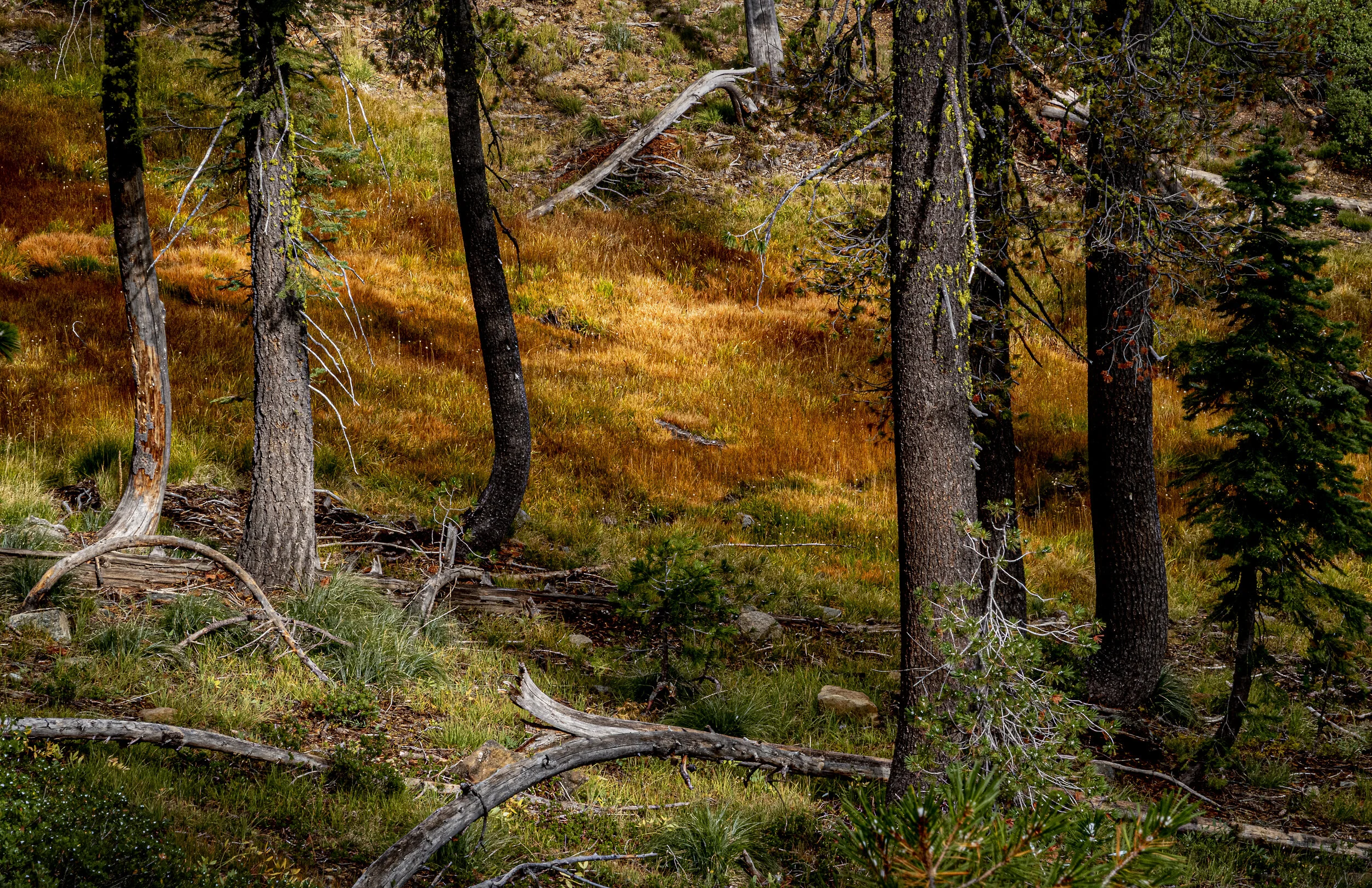
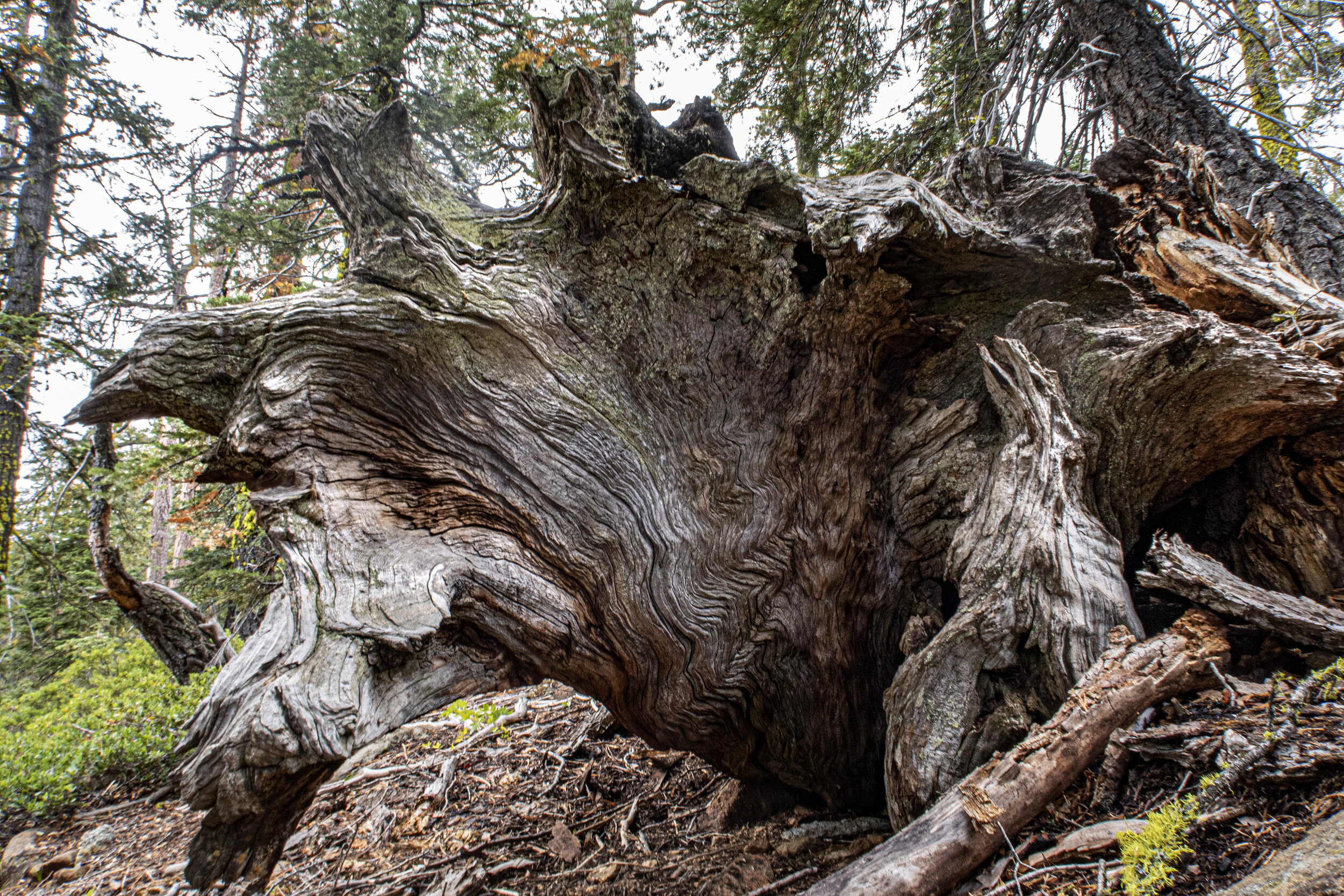

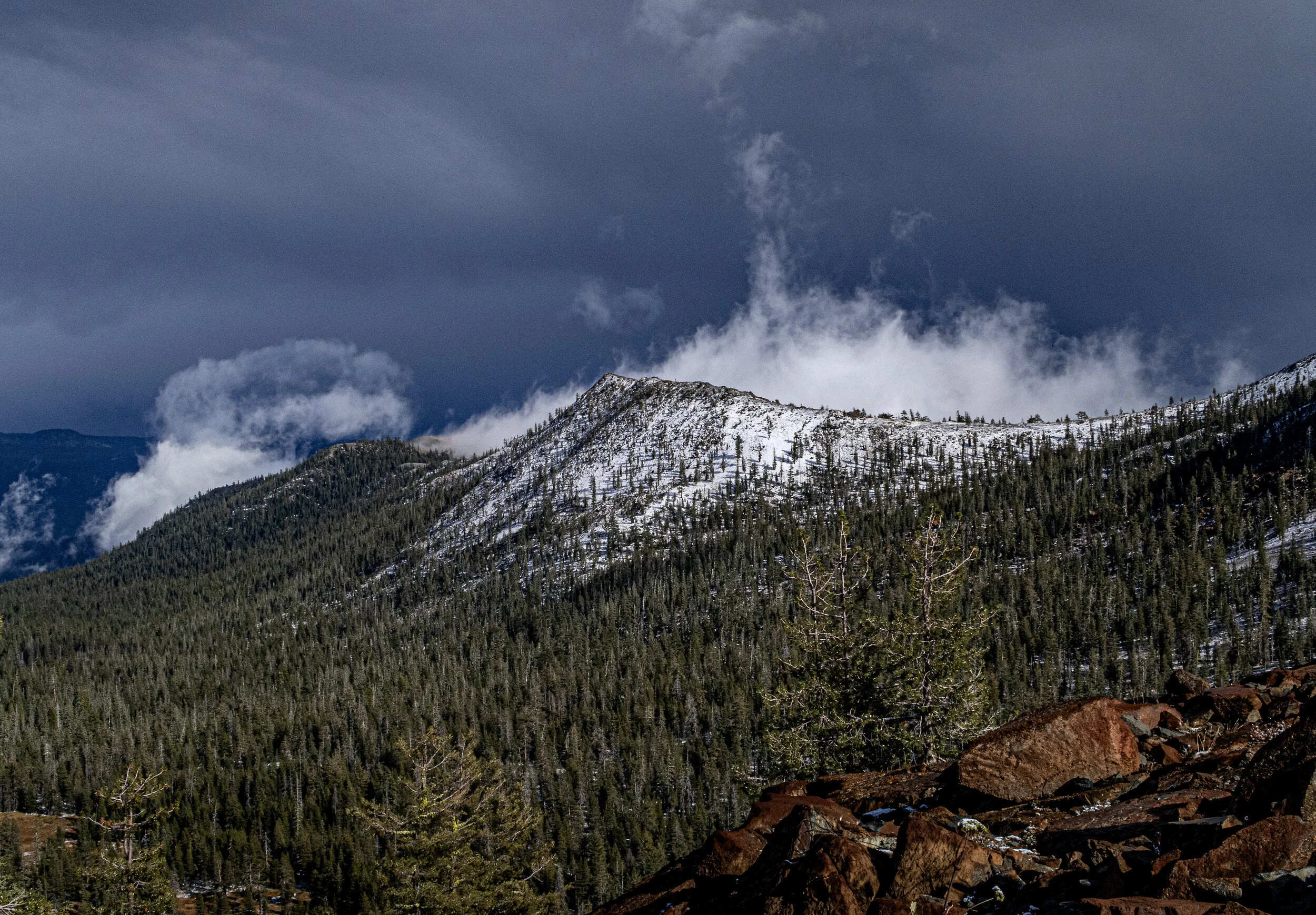


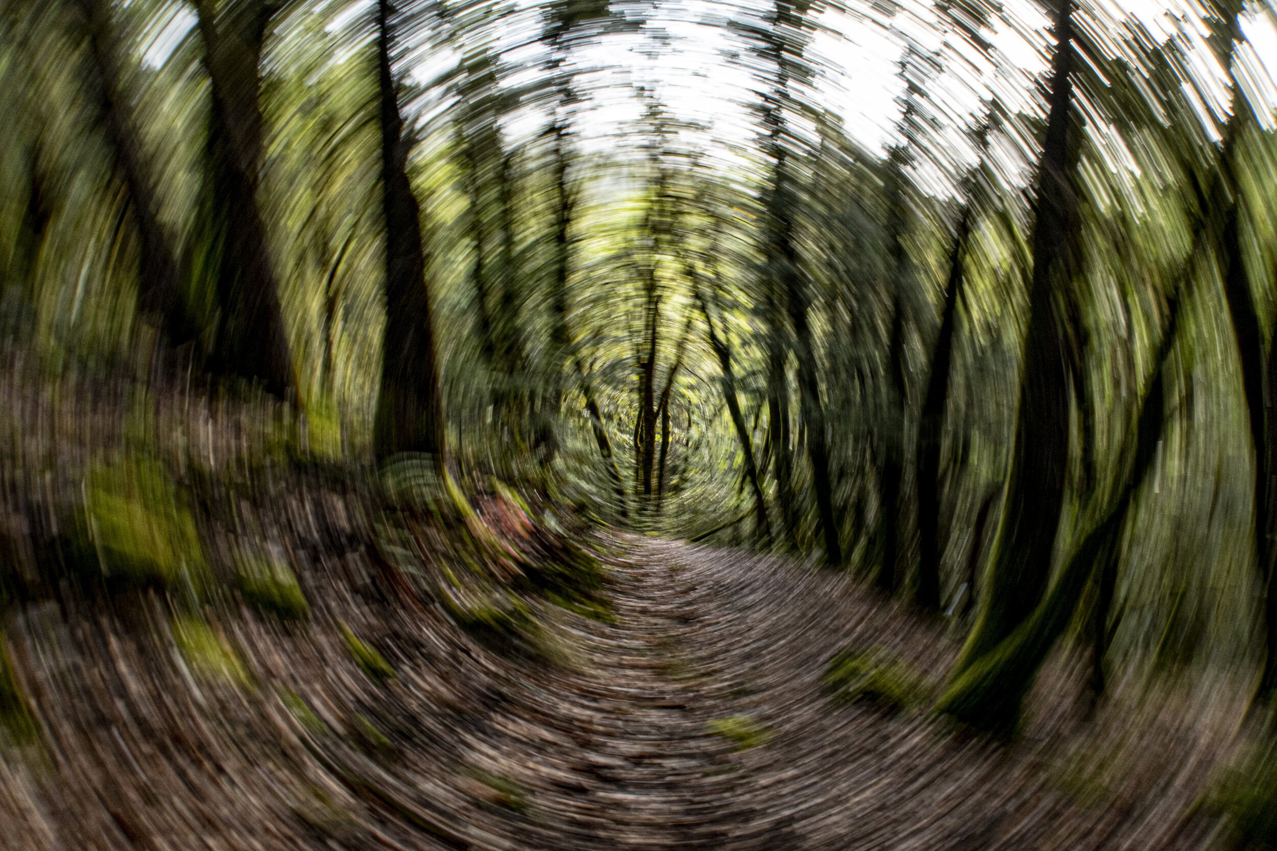



October 1-6 / 88 miles
Dunsmuir to Burney Falls State Park
I left Etna on October 1, rejuvenated and focused on my final few weeks. My original finish date was October 13. Considering my times off trail with illness and injury, I was pleased to be only a few days behind schedule.
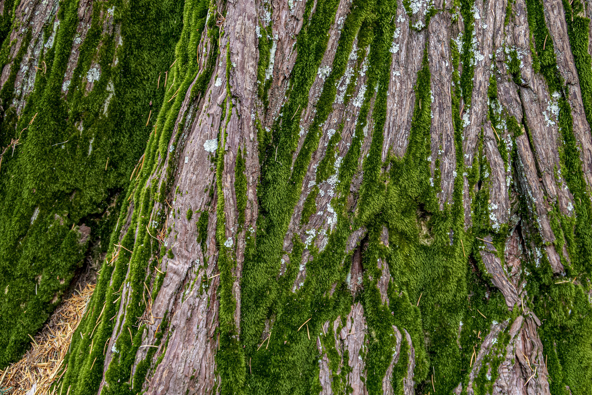
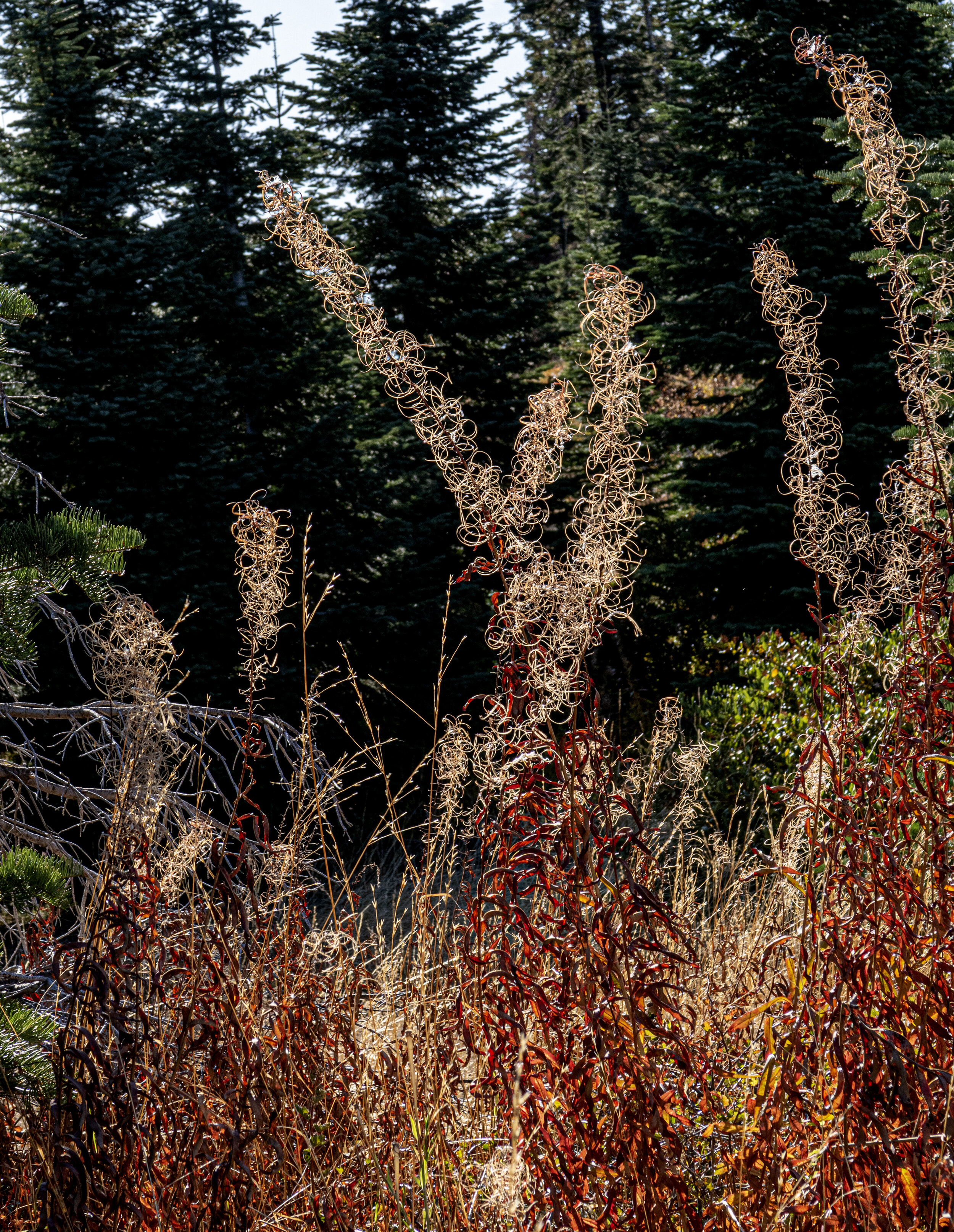
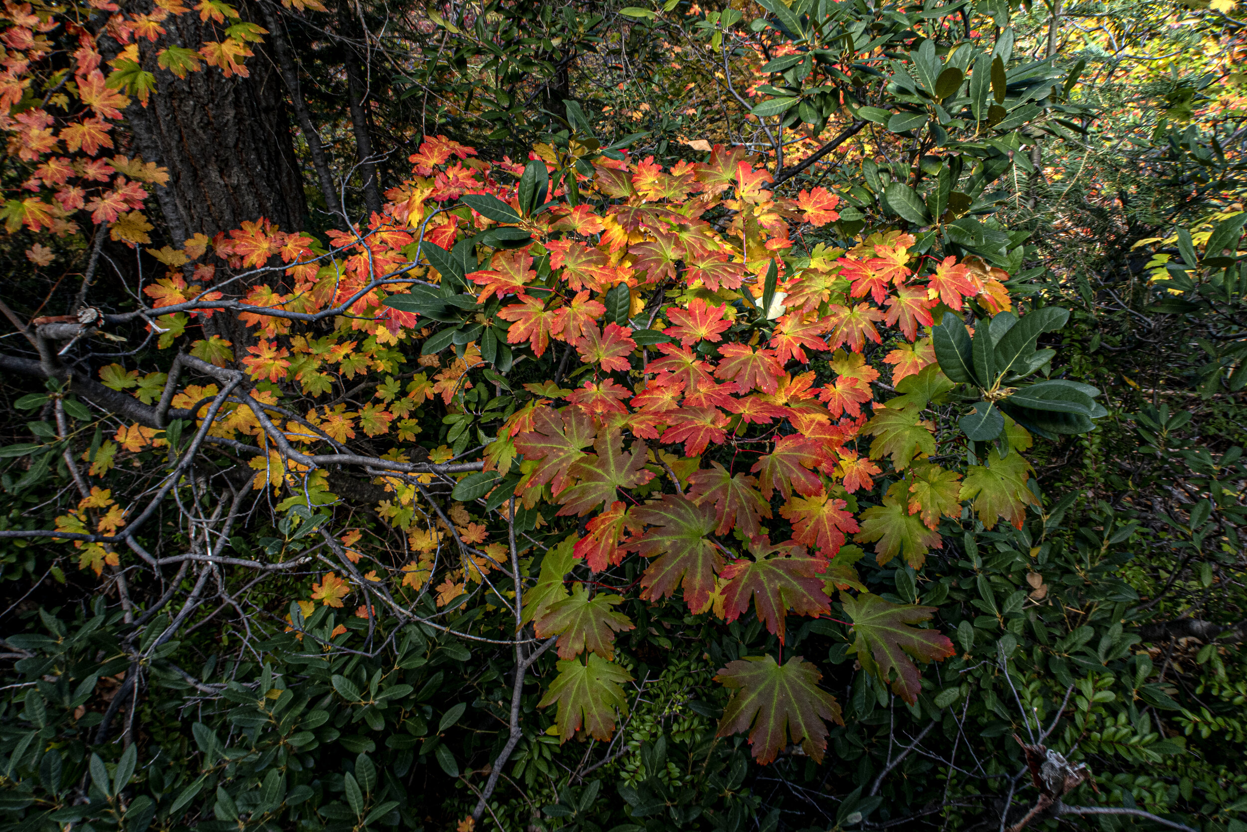
I purposely avoided over researching the trail so that much of it would be novel and surprising, but somehow I’d pictured this section differently. I was hiking from the coastal mountain range toward the Sierra in a south eastern direction and had expected the trail to in farmland. Not even close. I continued to have to climb mountains every day, including 4,000 feet of elevation in the first 10 miles, and the cold temperatures went lower and stayed longer. Keeping on the move was the only way to stay warm. The most compelling visuals were the emerging fall colors at every turn.
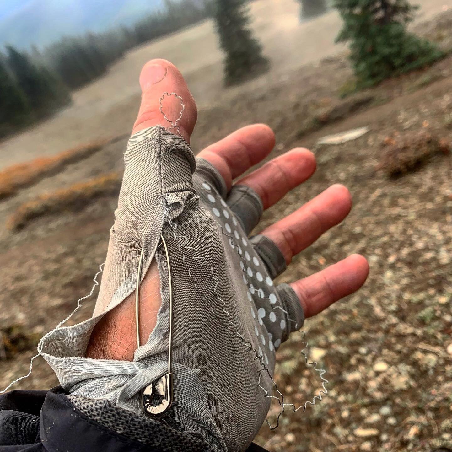
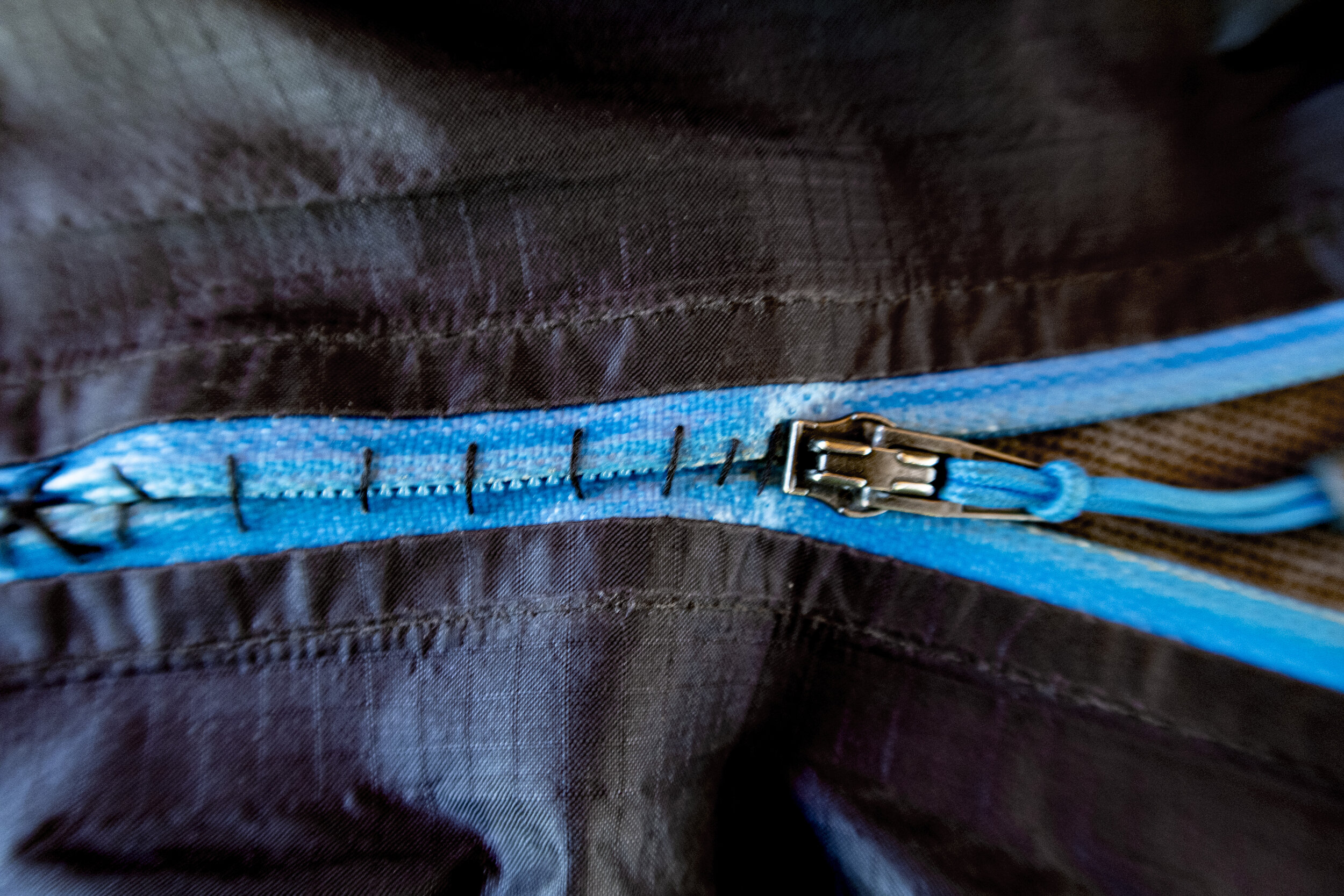
It was in this section that I had my first day without seeing another human. I only saw a few others, all NOBO, the other days. One morning, in freezing temperatures, my rain coat zipper broke and I was praying for a solution, since I wasn’t going to be in a resupply town for over a week. I ran into a couple trying to finish their hike in Oregon and the man was wearing the same jacket. His zipper had failed but his resourceful wife had sewn up the broken section so that his jacket was now a pullover. Problem solved when I got to the store at Burney Falls State Park and bought a small sewing kit.
It was fun to hike out of the snow and down into oak forests for a while. The sun stayed out for the last days of the section, but there was plenty of snow left to make slushies and augment the scarcity of water sources. At Cross Rock Creek, I pitched my tent right next to the trail, on a cliff above the roaring river. Fortunately I don’t move much in my sleep.
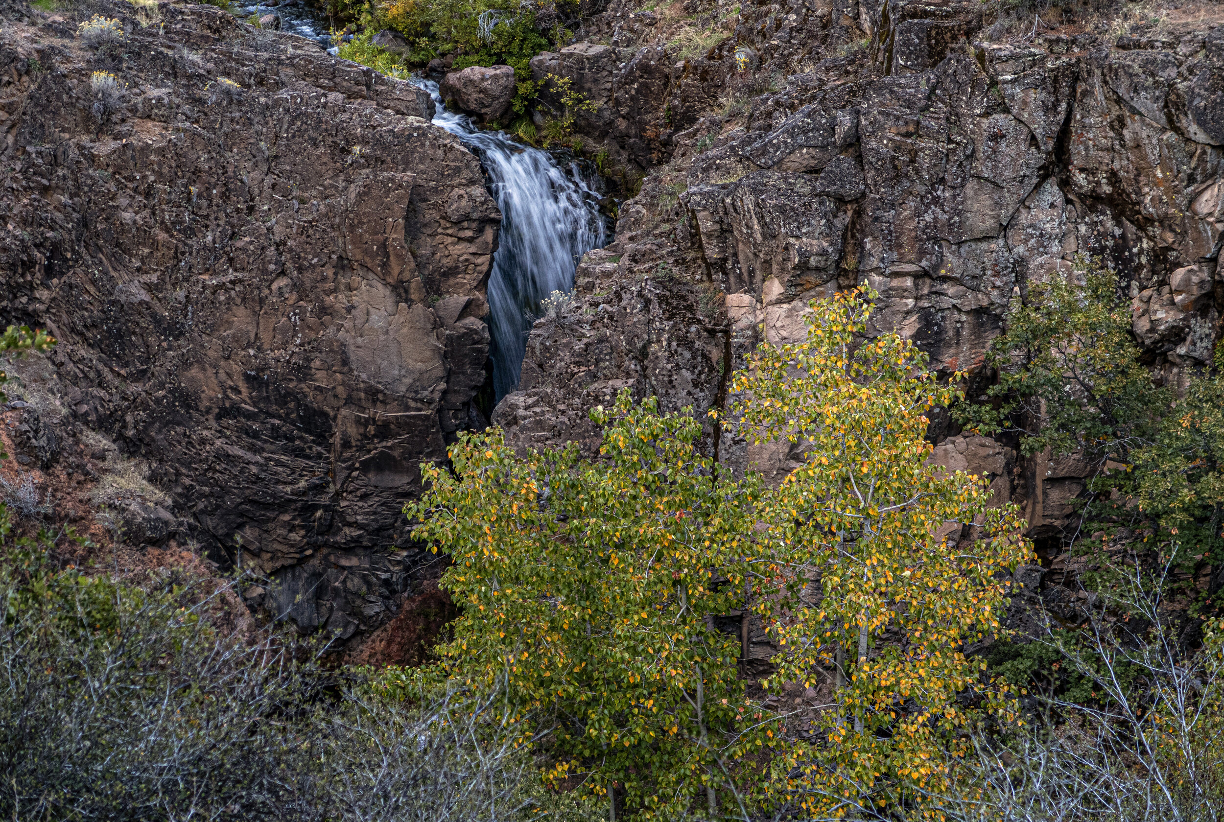
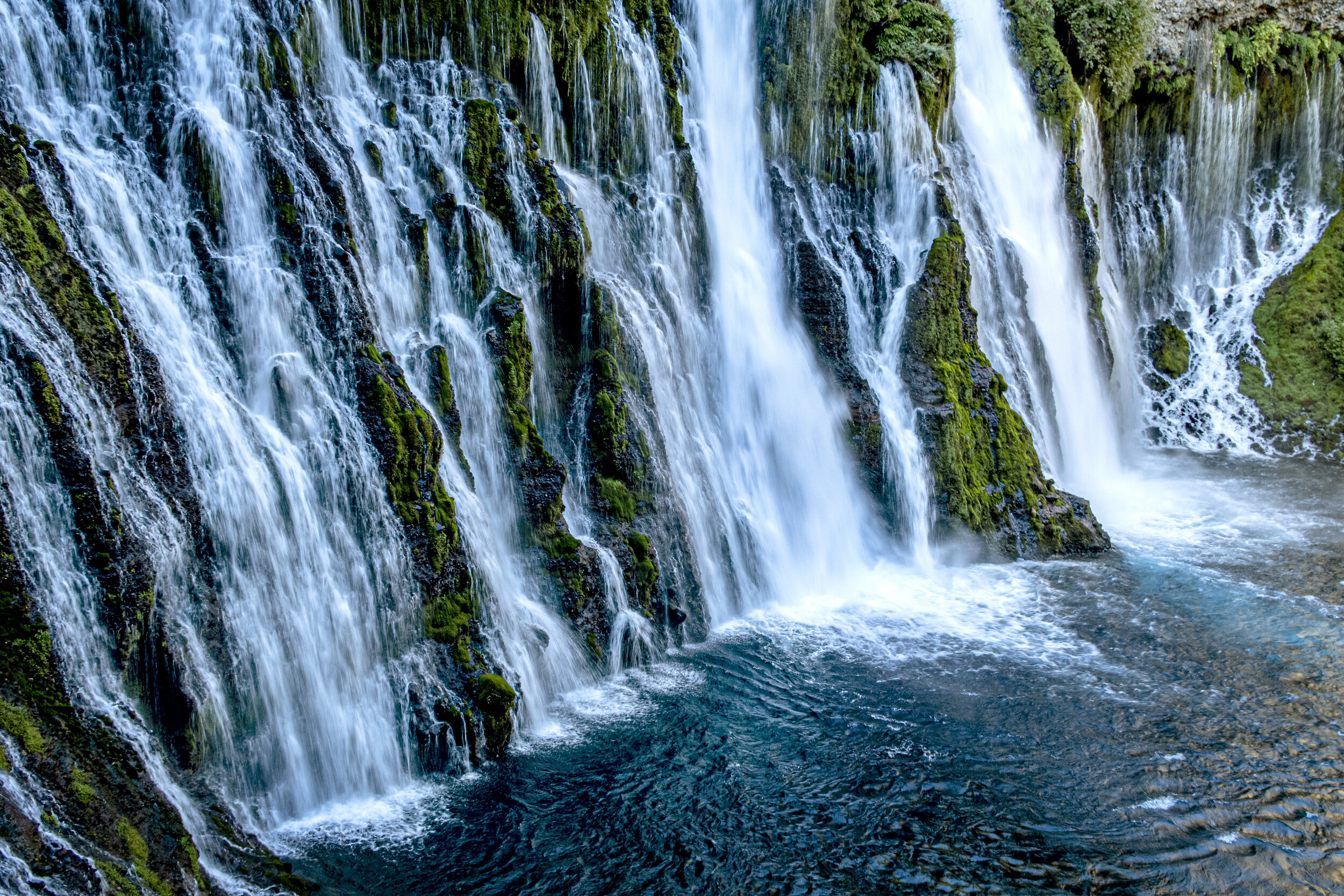
I arrived at Burney Falls on a Saturday morning and had the splendor to myself for quite a while. On Guthooks, one of the apps I used for navigation and advice on trail, the state park store had gotten some truly awful reviews about store proprietors being rude and dismissive to PCT hikers. I had the opposite experience and was treated like a minor celebrity. I took up three picnic tables in the day use area and dried out all my gear as I repackaged my resupply.
After answering some standard questions about thru-hiking, a family, visiting the falls from Stockton, invited me to share their picnic lunch. I never really had the trail family experience on the PCT, so it was fun to be included in their laughter.
I spent the afternoon sewing up my jacket, charging my batteries, gorging on ice cream and using the clean, individual, bathrooms for a sponge bath. I headed out that evening and camped about 6-7 miles away.














October 7-12 / 120 miles
Burney Falls State Park to Belden
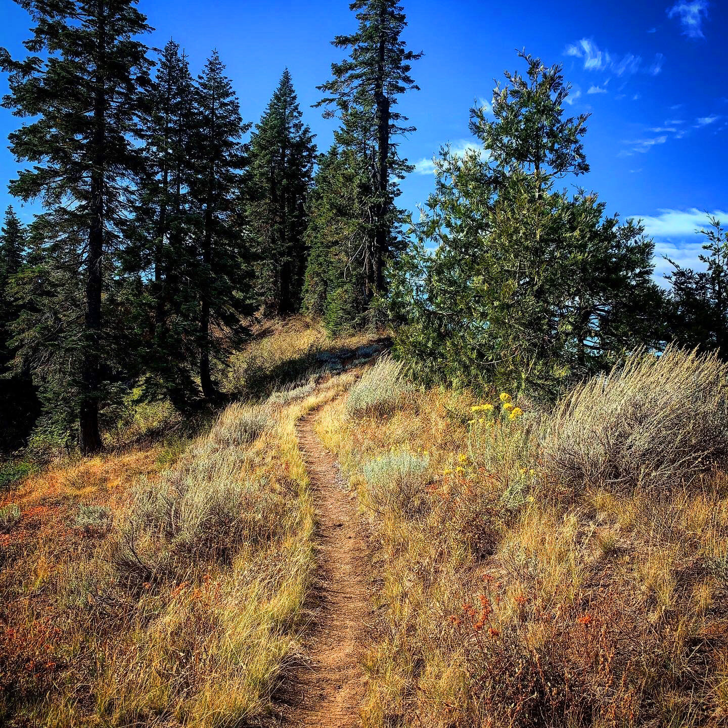
Having camped by a spring, a half-mile off trail, south of Burney Falls State Park, I was awaken by pre-dawn gunshots. Hiking in the early morning I heard deer whistles close by on either side of the trail. I proclaimed, out loud, that I was a PCT hiker walking south and please don’t shoot me.
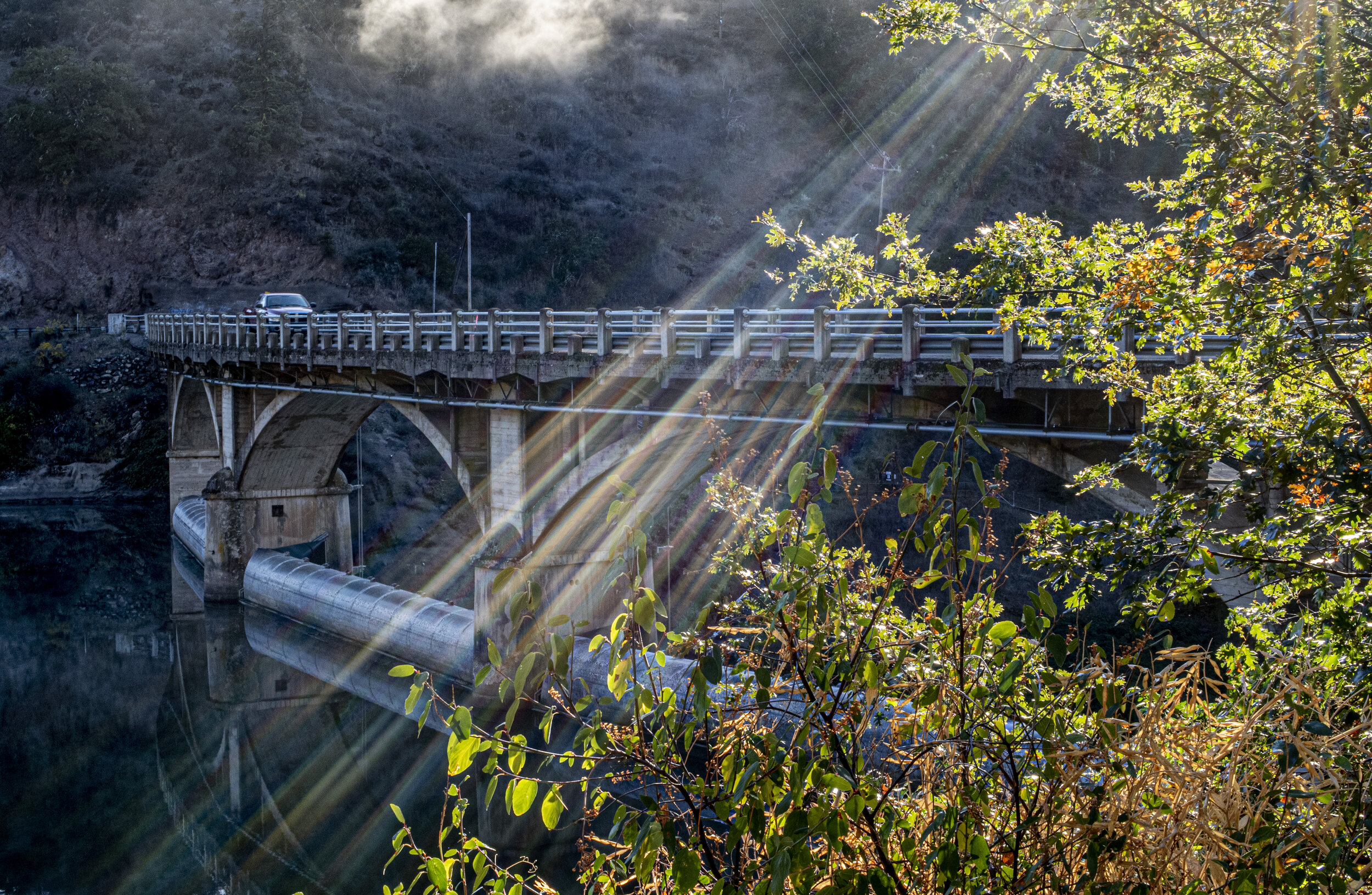
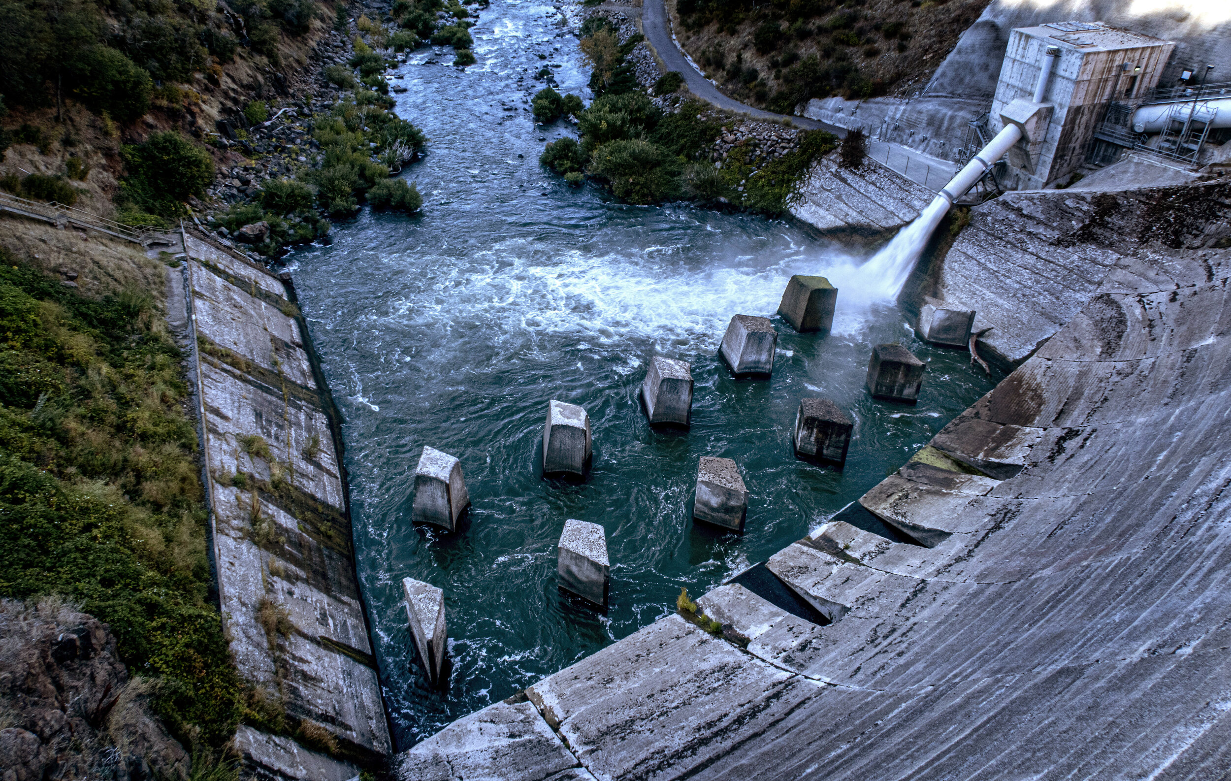
Approaching Baum Lake, on a relative warm day, I considered going skinny-dipping until I arrived to a large reservoir filled with kayakers, fishermen, and family picnics. It was a Sunday and crowded. After filtering some water, I hiked past the Hat Creek power plant and started a gentle climb into dry grasslands; so dry I was apprehensive that I might have to out race a wildfire. However, the openness of the terrain was refreshing and miles dropped quickly until I encountered the volcanic area of Hat Creek.
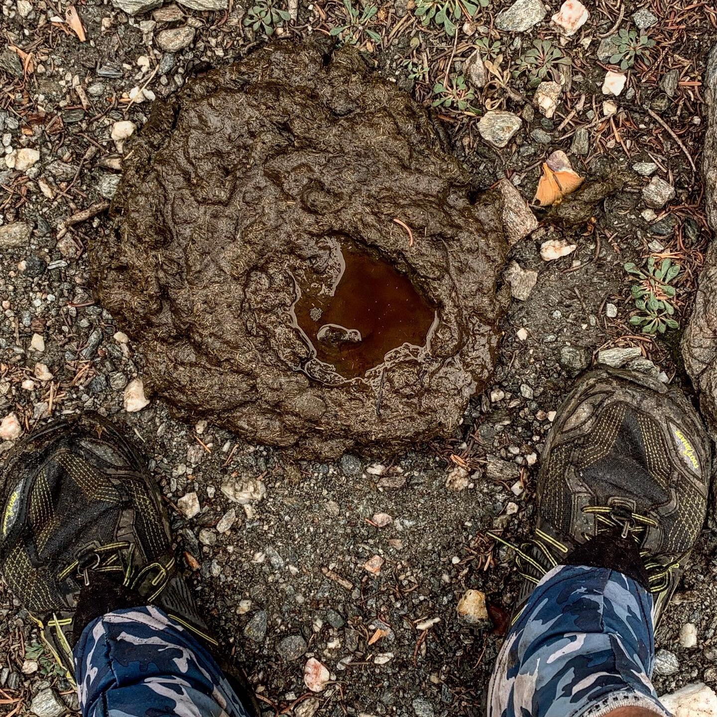
On one of the warmest days in weeks, I plodded along on broken volcanic rock, not at all enjoying myself, pushing hard for a man-made water source. Cache 22, is a large water tank provided by a local ranch/trail angel that breaks up a 30 miles stretch of waterless landscape. Late in the day I reached the plateau of Hat Creek and my path for the next day was visually apparent. Mt Lassen was a growing landmark with each mile as I had my final view of Shasta at sunset. I arrived at the cache in the dark and gingerly negotiated the cow pies littering the ground near the water tank. It was another moonless night and the stars were incredible.
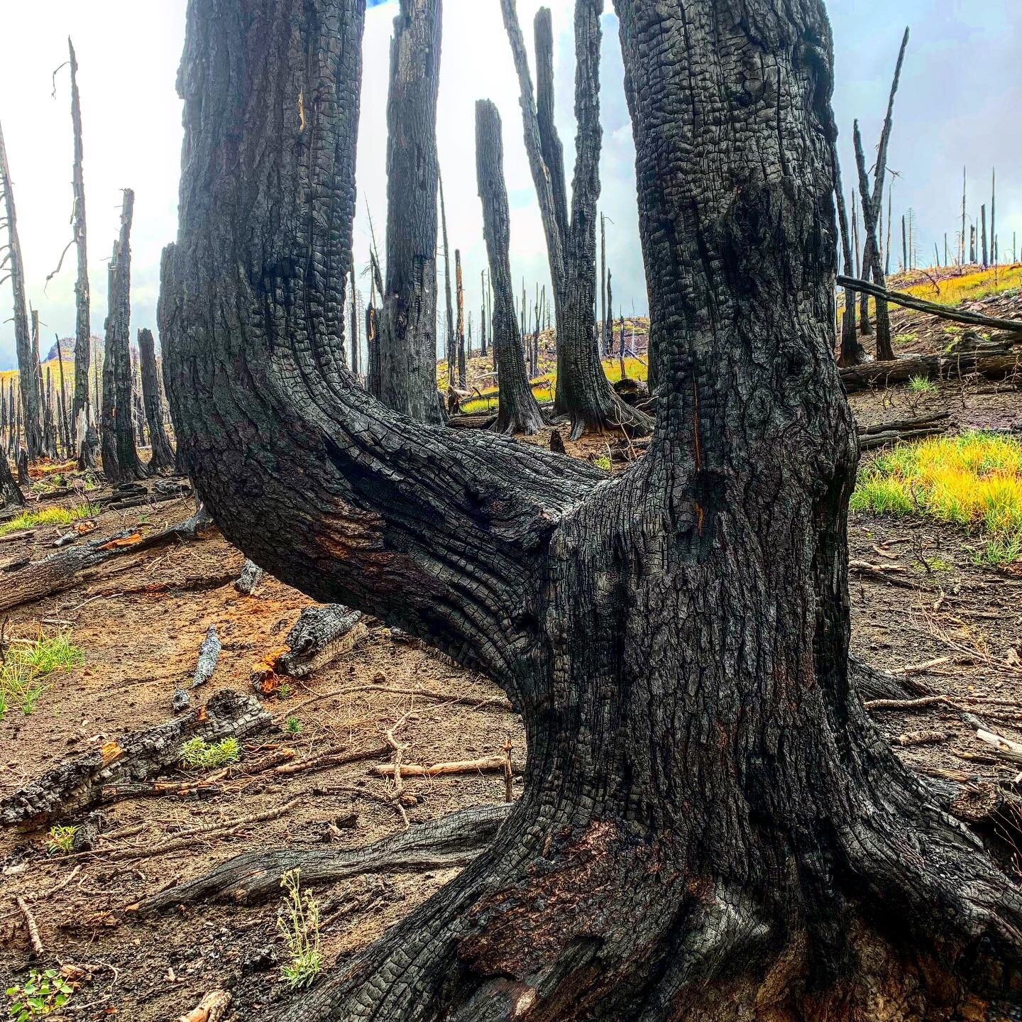
The following day was mind-numbing, boring and painful. The volcanic rock seemed to never end and there was not water at all. I was carrying three liters to make it through the day. To add insult to my misery, I had to pass through miles of burn area that had been chopped down to stumps. I pushed hard that day to make Old Station, where there was a store and restaurant.
At the Old Station Fill Up, gas station and store, I bought ice cream, Snickers, Cheetos, Coke, Mt.Dew, and a pastrami sandwich for dinner. The proprietor kindly charged my batteries in his office overnight, allowed me the use of his bathroom until 7pm, and told me the best place to camp out behind the store. I never appreciated a picnic table as much as I did that evening. I fell asleep in my tent, stomach stretched pleasantly, to a chorus of coyotes riling up the local dogs.
In the morning I was chatting with the owner of JJ’s Diner about the last section of trail I had passed through. She told me that most PCT hikers consider it the worst section of the trail, but that I was lucky to cross it without the 100-plus temperatures of the summer. With her permission, after my pancake breakfast, I did my laundry in her bathroom sink.
That day I hiked up to the border of Lassen National Park. The park had a weird rule that you couldn’t camp in the park unless you were carrying a bear can. I set up my tent within 100 yards of the park boundary and planned to hike across the entire park the next day.
I’d been looking forward to seeing Lassen NP for weeks , but was disappointed to spend all morning speeding through burned forest on a bitterly cold day. The cold was staying longer in the days, until afternoon. I was also pushing hard to get a resupply package at Drakesbad Guest Ranch, hoping that I might stay the night in a warm place. When I arrived the place was in a bit of chaos, the resort’s season was closing, power outages were limiting their services and there was no room for me in there cabins or their beautiful dining room.
To make matters worse, my resupply package was woefully short on food and food I didn’t want at all. With no hiker box to share my surplus with, I just tossed a number of couscous packages away. It was decision I would regret.
I hiked out of the park that night and the forest became incredibly beautiful before I arrived at the North Fork of the Feather River. I smelled smoke as I approached the river and soon found a female hiker stoking a huge fire with everything she could forage. The dryness of the area was unsettling near her sparking fire but the temperature was well below freezing. “Minnie Mouse”, a solo NOBO, Korean native, explained she was trying to get to Ashland before winter. She did me the favor of filling my water bag while I set up my tent and we ate dinner together around her fire. That was definitely the coldest night of my trip.
In the morning I rose early to go and bid her farewell. Then I asked my friends on Instagram to pray for her, fearing the challenges she faced on her quest. These days, I’d see a few hikers a day, all pushing to Ashland before calling it a season.
I was tempted to take the road into Chester for a resupply and maybe a night’s sleep, but I was now nearing the end and trying to time the end of my hike for reunion with my wife. I pushed passed Butt Mountain and found it ironic that it was close to a section of private forest owned by Kimberly-Clark, the manufacturers of Charmin.
I pushed hard to make the midpoint of the PCT. A small concrete post that marks the 1325th mile of the trail from either terminus was a morale booster! I was closing in on my final 100 miles.
The day before I was to arrive in Belden I had good cell service in my tent. Since it was going to be a Saturday, I wanted to make sure I was able to rest, shower, resupply, eat, etc., before heading into my final section. My wife made a hotel reservation for me and I fell asleep happy for the coming luxuries. An hour later she texted me to tell me that Belden was going to be disconnected from electric power for the weekend and the hotel manager had called her to alert her that the reservation was unusable.
On trail I’d had a few offers of friends to meet me on trail and bring me supplies. A fellow photojournalist, Kevin Lara, who’d worked at the Orange County Register during my years there, had offered to visit Belden from his home in Chico. I text Kevin, explaining my plight and he responded quickly that he could pick me up in Belden and take me to Chico for the night. Woohoo! Problem solved.
The final descent into Belden, took me from the Cascades into the Sierra (there’s a sign) and through gorgeous Chips Creek , where fall was in full color. I ran into a couple I’d met in Washington months before, who were just a day away from completing their thru-hike. They were incredibly generous when I mentioned I’d eaten all my food. I walked into Belden with cookies, chips and Snickers. Thanks!
First stop in Chico was In and Out Burger, where I realized I was definitely the dirtiest and unkempt person there. As we walked into a grocery store to buy my resupply, I mentioned to Kevin that it felt like “take a homeless guy to the store day”. Kevin laughed through out the store as I loaded my basket with tons of Halloween candy and high calorie food. The shower at his apartment was bliss!






October 13-17 / 86 miles
Belden to Sierra City -
The Final Days
After breakfast in Chico, Kevin Lara drove me back to Belden where a climb of 4,000 feet in the first 7 miles was my final big climb out of a trail town. Kevin, who was training for a marathon and is an outstanding photographer, chose to join me to the top of the mountain. He was rewarded by amazing fall color and the awesome views. I’d been hiking solo for three months and it was fun to have a trail partner for the day.
Our first obstacle was a freight train that was stopped on the trail. It was too long to hike around so we waited 15 minutes for it to move. While waiting another train passed but ours just sat. We made the slightly dicey decision to climb between cars and found the trail on the other side.
At the top of the mountain, with views for miles, the terrain turned a bit unique with giant errant boulders poking out of shrub covered ridge lines. I bid Kevin farewell after filtering some water at hidden spring.
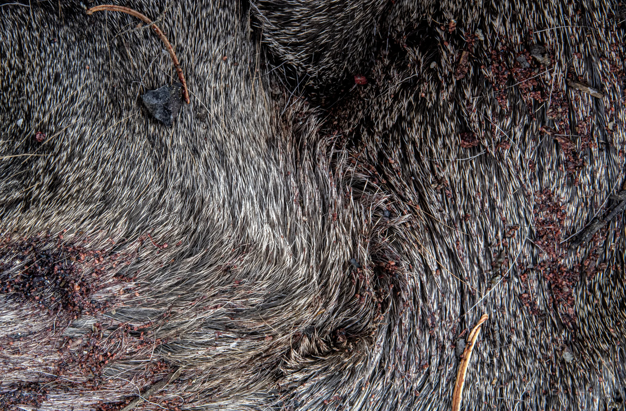
The beauty of the hike was marred for a while when I encountered a dead black bear. A hunter had shot the bear on the trail and then skinned it on the spot, leaving the carcass. I am not opposed to hunting but was sad to see only my second bear of my trek in this way. The fact that hunter left his bullet casings on the trail made me mad though. I ended my first day atop a ridge where I could see the lights from the town of Chester to the South.
My second day was spent rolling along an endless ridge covered with red, yellow, and purple foliage. I camped next to a creek, where there was zero cell service. I was starting to get pretty lonely by now since my human interaction was reduced to a few minutes each day with a solo hiker walking north.
On my third day I stopped at 5:30 pm to go get water at a spring off the trail, downhill. After returning I was putting my tent up for the night. I was thinking my tent had taken a beating and wouldn’t last much longer. Indeed, not ten minutes later, a tent pole broke and had to be jerry rigged with Leukotape. The tent didn’t quite set upright, but hopefully it would hold for another night or two. As I was falling asleep, shooting a long star streak image from the door of my tent, I heard voices speaking German approaching from the South. After some pleasantries and sharing of water information, they set up their tent near mine.
In the early morning I broke camp and started down the trail. I got about 20 feet when I realized I didn’t have my trekking poles. I went back to look for them but found nothing. My neighbors, Lady Magic Sunshine and King Olli, got out to help me look and think this through. Did I leave them at the spring? That made no sense but I hiked the half mile to check. No poles. I’d been listening to Sherlock Holmes books on trail that week and I used the same deduction. If it wasn’t here or at the spring, I must have left them at my last rest stop, about a mile back. I took off running and sure enough, I found them leaning against a tree where I’d taken a brief rest. I must have been exhausted that day, since I hiked uphill without noticing my poles were missing.
Returning to my campsite, I found Lady Magic Sunshine & King Olli eating breakfast. They offered me some cheese, which was delicious, and a shot of whiskey. At first I declined the whiskey, since I don’t drink alcohol, but reconsidered after they told me the story of how the bottle had been gifted to them by a mule-train operator who was celebrating finding his missing stock. They would take a shot to celebrate milestones on the trail. Lady Magic Sunshine was recording a vlog of other hikers and was rolling video when I took my first ever shot of whiskey. The scene was straight out of a Western, complete with wide eyes and sputtering. “That’s some strong stuff! Puts hair on your chest!” To cap off their generosity, King Olli bestowed a Snickers bar on me. It felt like he was granting me one of his feudal lands.
For days I had been debating when to finish my hike. I needed to arrange my pickup in Sierra City but there was no rush. I had considered spending the final night on the ridge above Sierra City so I could walk to the end in the morning. A combination of factors forced me to put a rush on it. Rain drove me into my tent at dusk before my last day. With the tent in disrepair, it leaked badly. It snowed overnight. I was going through my morning routine, in my small tent, when I realized that some of the water pooling in my tent was from my knocked over pee bottle. If not for my Leave No Trace beliefs, I would have put a condemned sign on my tent and walked away from it.
Nineteen miles to go, my decision was made to finish that day since I didn’t want to unpack that tent again. I hiked in the fog and rain for a few hours before the clouds rolled away revealing beautiful lakes and majestic Sierra Buttes. The climb to the final ridge, whether it was mental or physical, was extremely difficult.
As I reached the pass, I could see the trail zigzagging down a lush green slope where I knew the end was near. However, the lush foliage was masking a sketchy loose rock trail, with a few terrifying drop offs. I was so ready to be done but spent another three hours navigating the rocks.
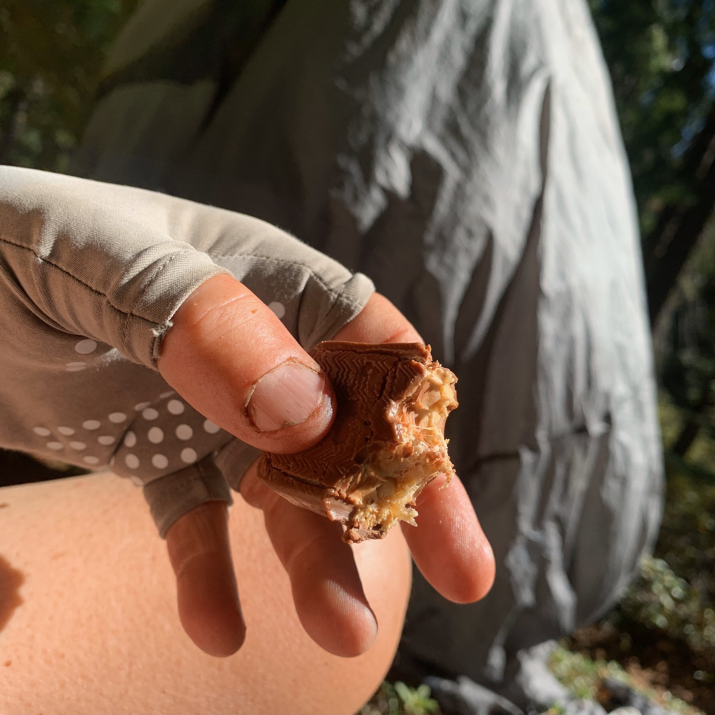
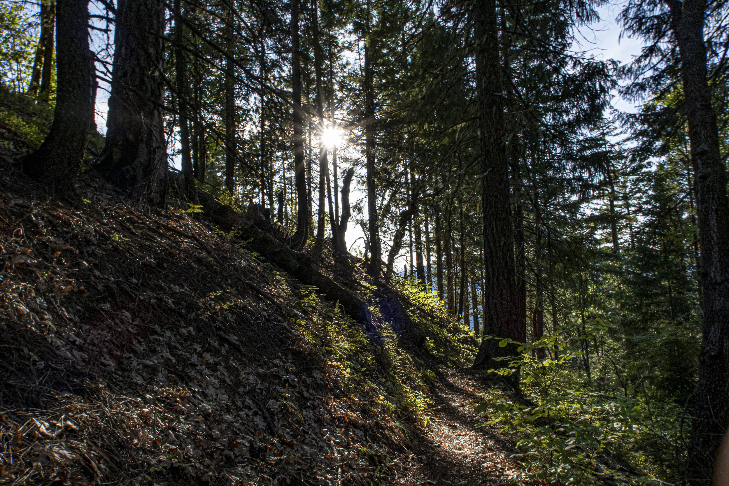
The final miles passed through a tunnel of trees on perfect duff trail. I might be imaging it, but I’m fairly certain I’ve never moved so fast. I had saved King Olli’s gift and had purposely chosen to savor the Snickers bar on the final mile. I recorded a few videos in those final miles and thought about how I should end my hike. I had thought about this moment far too many times.
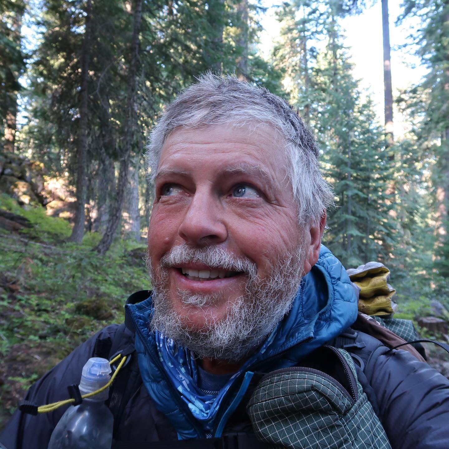
In the end, I waved to my friend Tom Weersing, who sat in his car reading a book on Highway 49. I walked across the road and placed my hand on the PCT sign. Then I got down on my knees, face to the ground, and thanked Jesus for this moment and all that went before. Tom came across and offered to take the final shot of me smiling. I look at that image know and see how incredibly skinny, dirty, and exhausted I looked. Tom asked what now? “Pizza!”




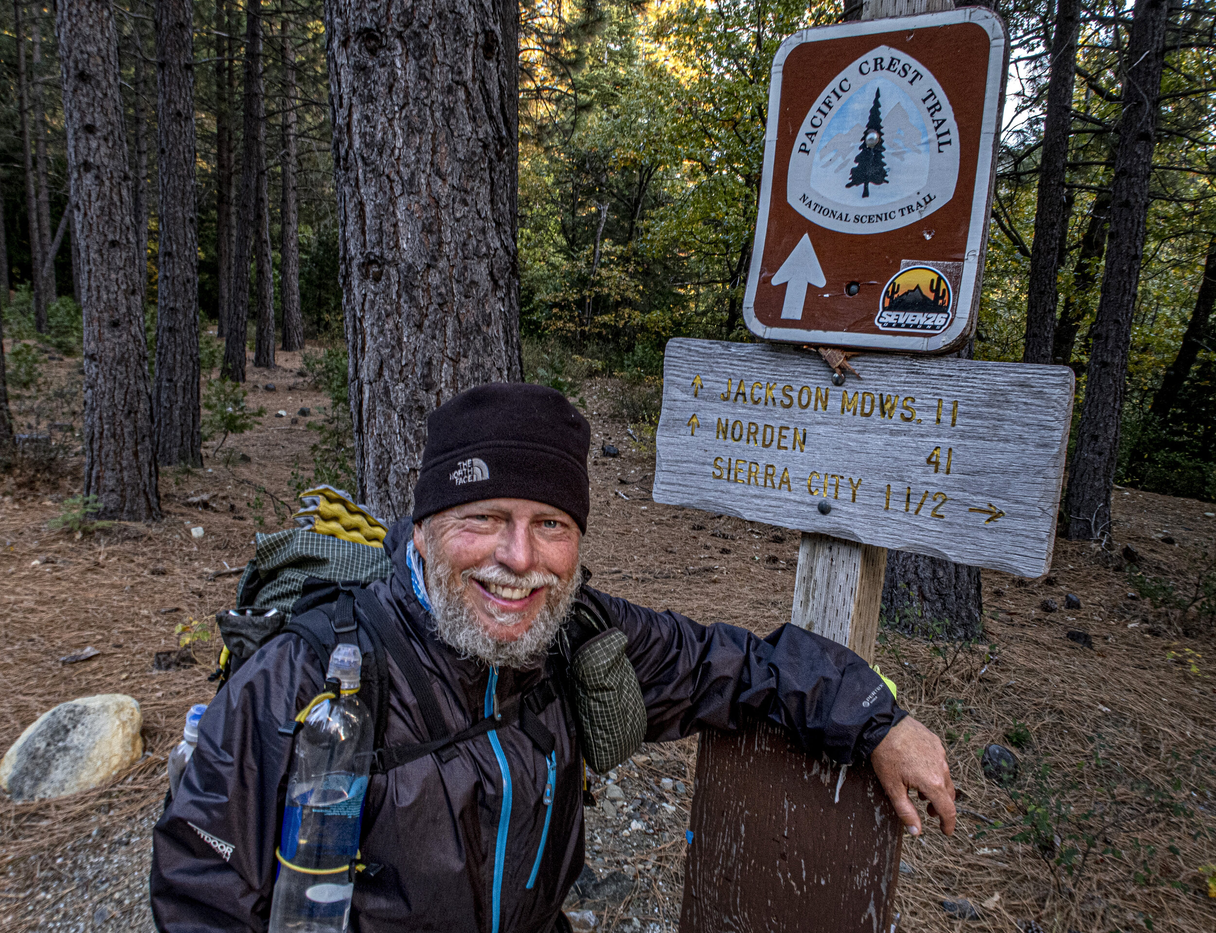
October 19-22 / 488 miles - by car
The Road Home
My friends Pat and Tom Weersing hosted me in Reno for a few nights. They fed me well and listened to my endless stories. I washed myself, my clothes and hosed down my filthy gear. We had some awesome conversations around how they are living their lives with purpose and enjoying retirement.
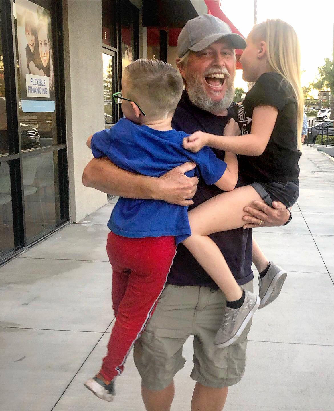
My wife started driving from Southern California on a Friday and made Sacramento that day to stay with friends. So Saturday morning she arrived! I was so happy to be back with my best friend. This initial photo is a cell phone image of that reunion at the Weersing’s front door. Carole brought me some old and new clothes, all of which were too large. I’d lost 40 pounds on my trek. After a short visit, we drove off toward Lake Tahoe, and eventually Mammoth Lakes.
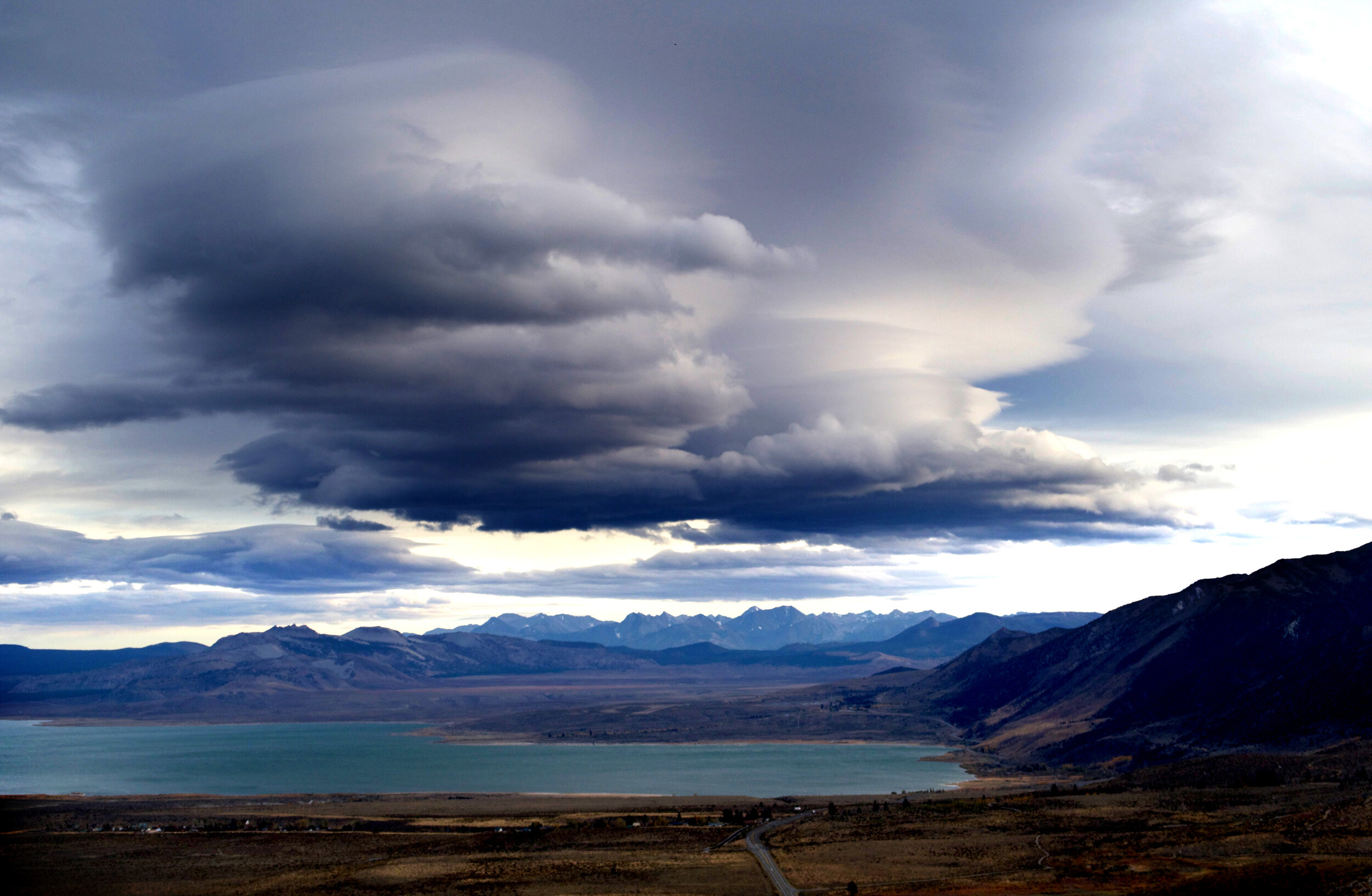
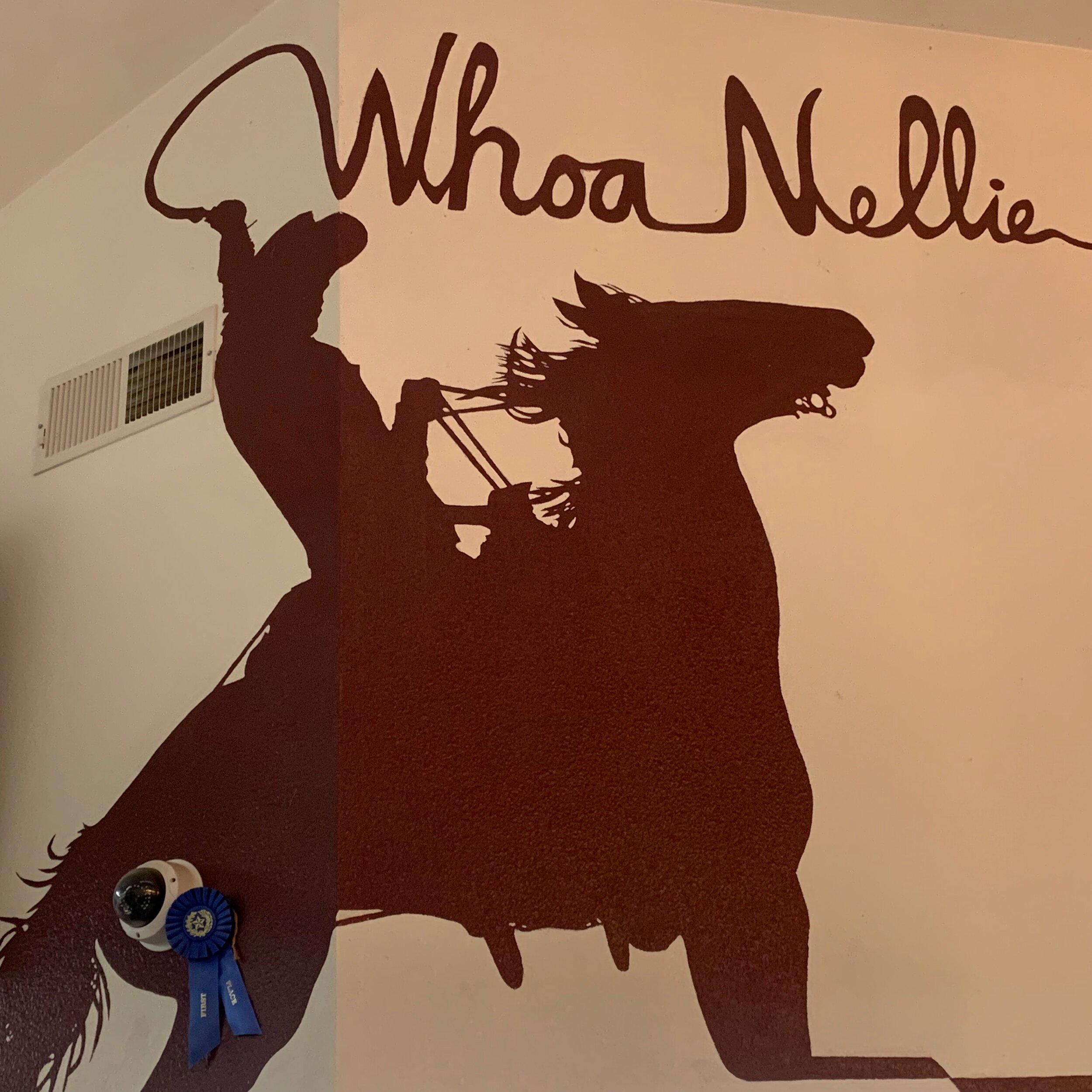
My family traditionally vacations in Mammoth Lakes every summer, but 2019 was only the second time that I’d missed it. We purposely planned to take it slow on the way home to get reacquainted and have the feel of a fun road trip. It was great to see familiar sights like Mono Lake, the Eastern Sierra, and to eat at Lee Vining’s “Woah Nelly Deli”.
On our second day we toured Mammoth Lakes and walked around Convict Lake. I needed some pants that fit, so we headed over to the Bass Outlet Store, where I kept trying on pants until I found my waistline was now 30 inches, rather than the snug 36 inches I started at. I don’t recall when I was that skinny. Maybe junior high school?
Our conversations centered on how my life would change when I got home. For 47 years I’d been working full-time and was always focused on career. I felt it was time to step away from that and support my wife in her final career years. I’d finished my major bucket list item and now it was my wife’s turn. She didn’t have a bucket list but felt a goodnight’s sleep and time to exercise would be very beneficial. So that meant I would become more of a house husband and take on more responsibilities for the grandkids.
We ate BBQ in Bishop, drove the backroads in Big Pine and Independence, before ending our day in the Alabama Hills, below Mt. Whitney. We posed for a photo by passing hikers at Mobius Arch and ate Chinese food for dinner.
On our final day I was itching to get home so we drove straight home in about 6 hours. It was a joyous reunion with my grandkids. Three and half months is a lifetime in their eyes and they were overjoyed to have me home. I missed them so much on trail!
As I write this I’ve been home for 6 months. I’m still unemployed but doing group therapy for free. I’m back to being a community pastor for my small church (see my VOX galleries) and I am immersed in several home improvement projects. I spend a lot of time with my grandkids and was planning vacations to Wales and Oregon before Covid-19 squashed those plans.
As a few thru-hikers start their 2020 hikes on the PCT I am a bit envious, but I would really rather take road trips across the United States with my wife. I’m considering a few week long hikes this year but nothing is planned out.
Completing the PCT gives me extreme satisfaction and memories that I’ll long cherish. If you ever get the opportunity or desire to do the trail or just a section, contact me and I’ll fill you in.
God Bless! Tortuga


